GR 20
Overview
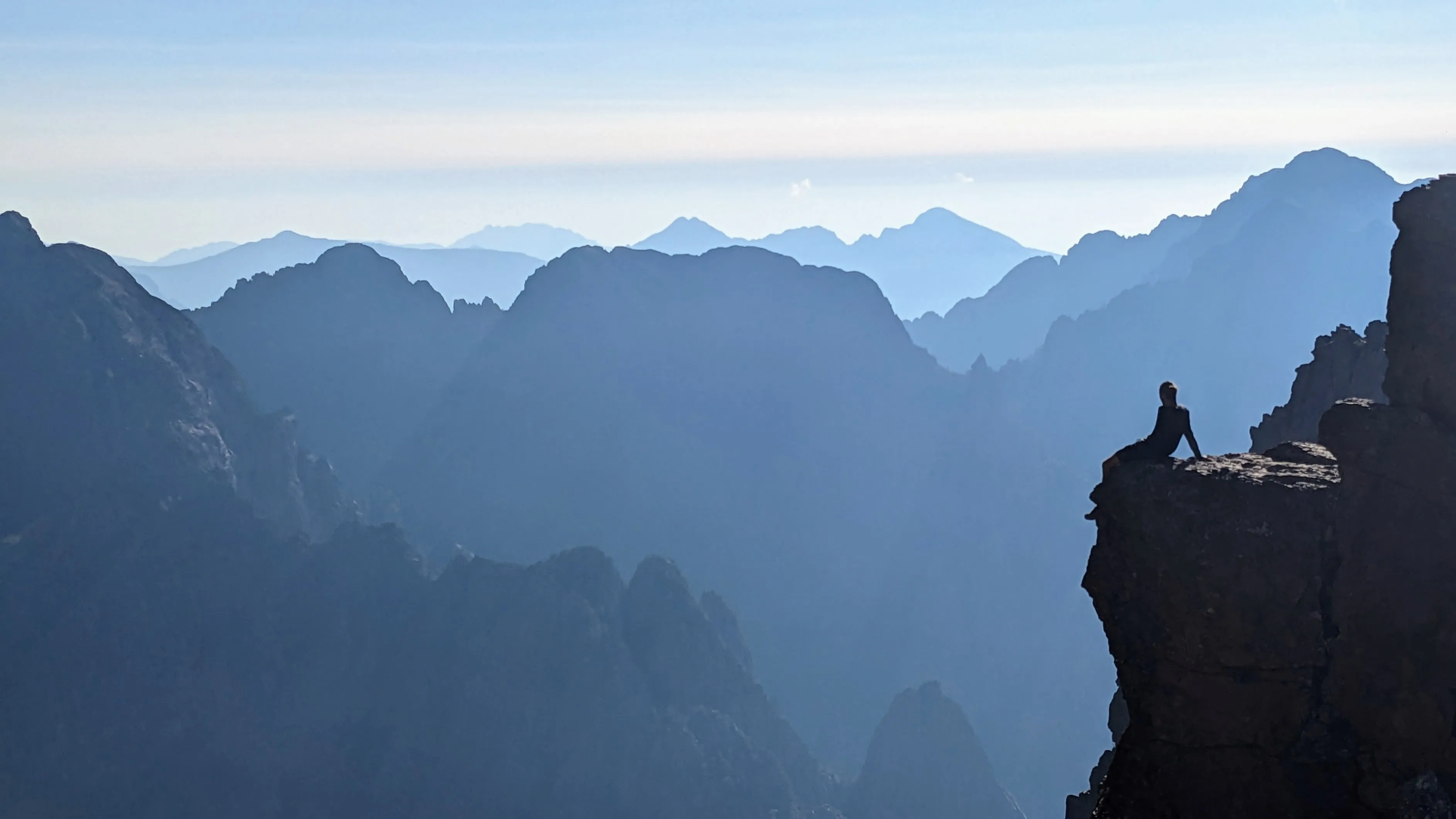
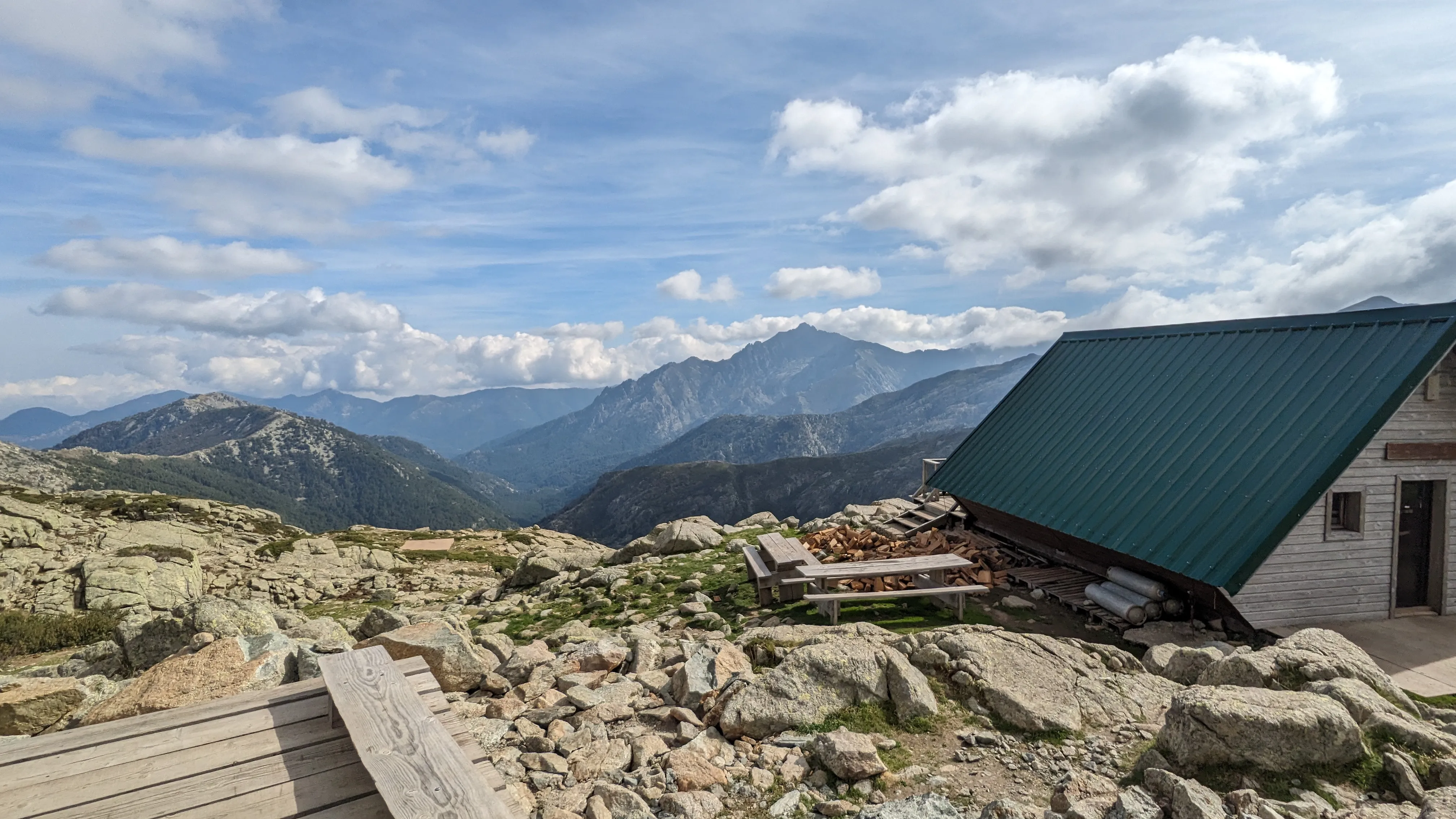
The GR 20 trail traverses the rugged mountains of Corsica, from one end of the island to the other. The simplest way to describe it is "breathtaking" - from both its sheer alpine beauty and the constant climbing and descending. The trail is well-marked and maintained and there are many huts ("refuges") along the way, which are only operational during the warmer months.
More information: GR 20, Parc Naturel Régional de Corse
Highlights
- Mountains as far as the eye can see, alpine streams, meadows, and wild mouflon
- Abundant water sources
- Frequent refuges offer a place to cook, take a break, socialize and enjoy the view - even if they are closed
Challenges
- Tons of elevation, often across steep and technical terrain
- Limited food resupply options, especially in the shoulder season
- Wild camping is not permitted. Hikers must use designated camping areas at the refuges, which limits planning/flexibility
Trip Story
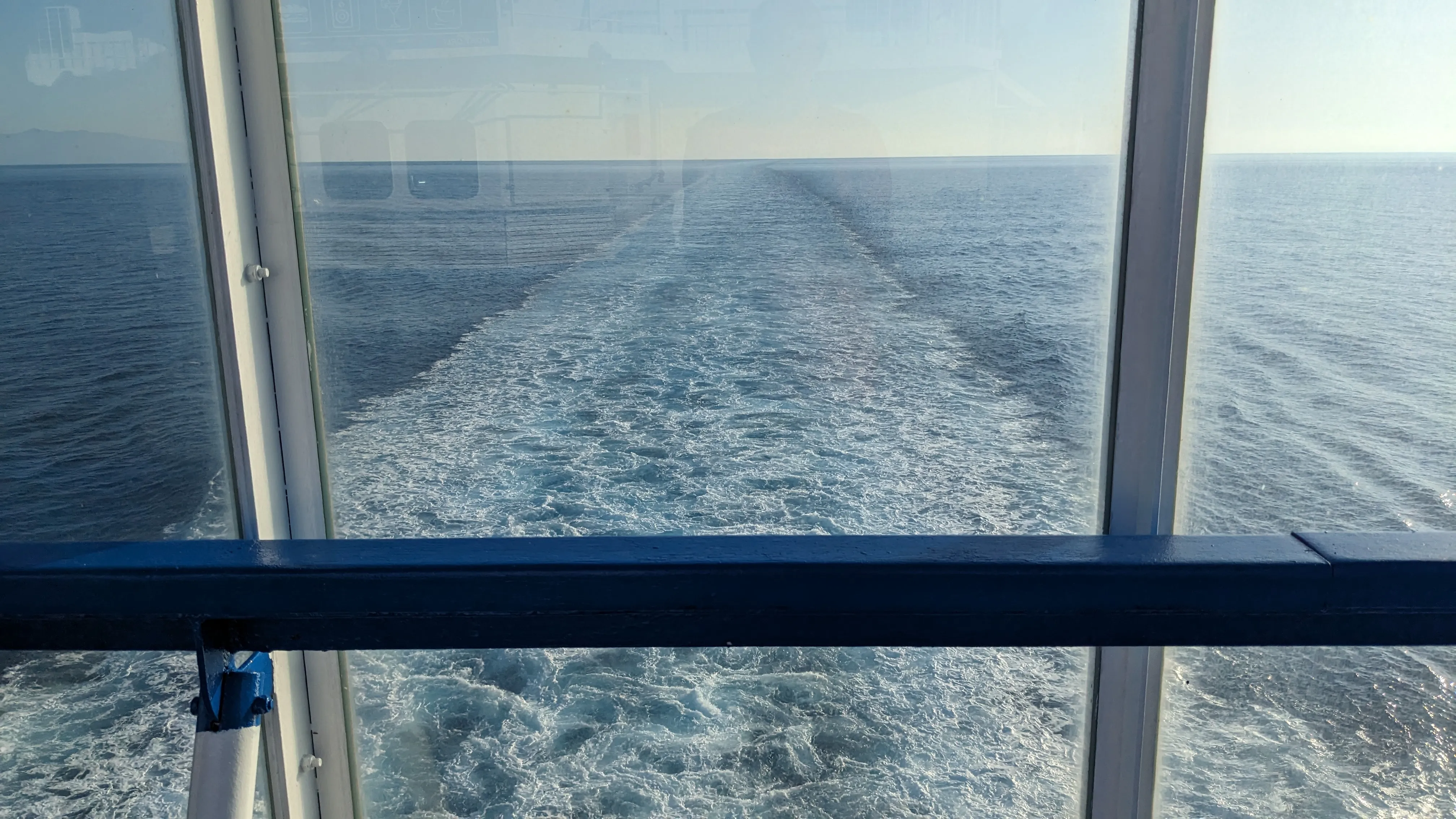
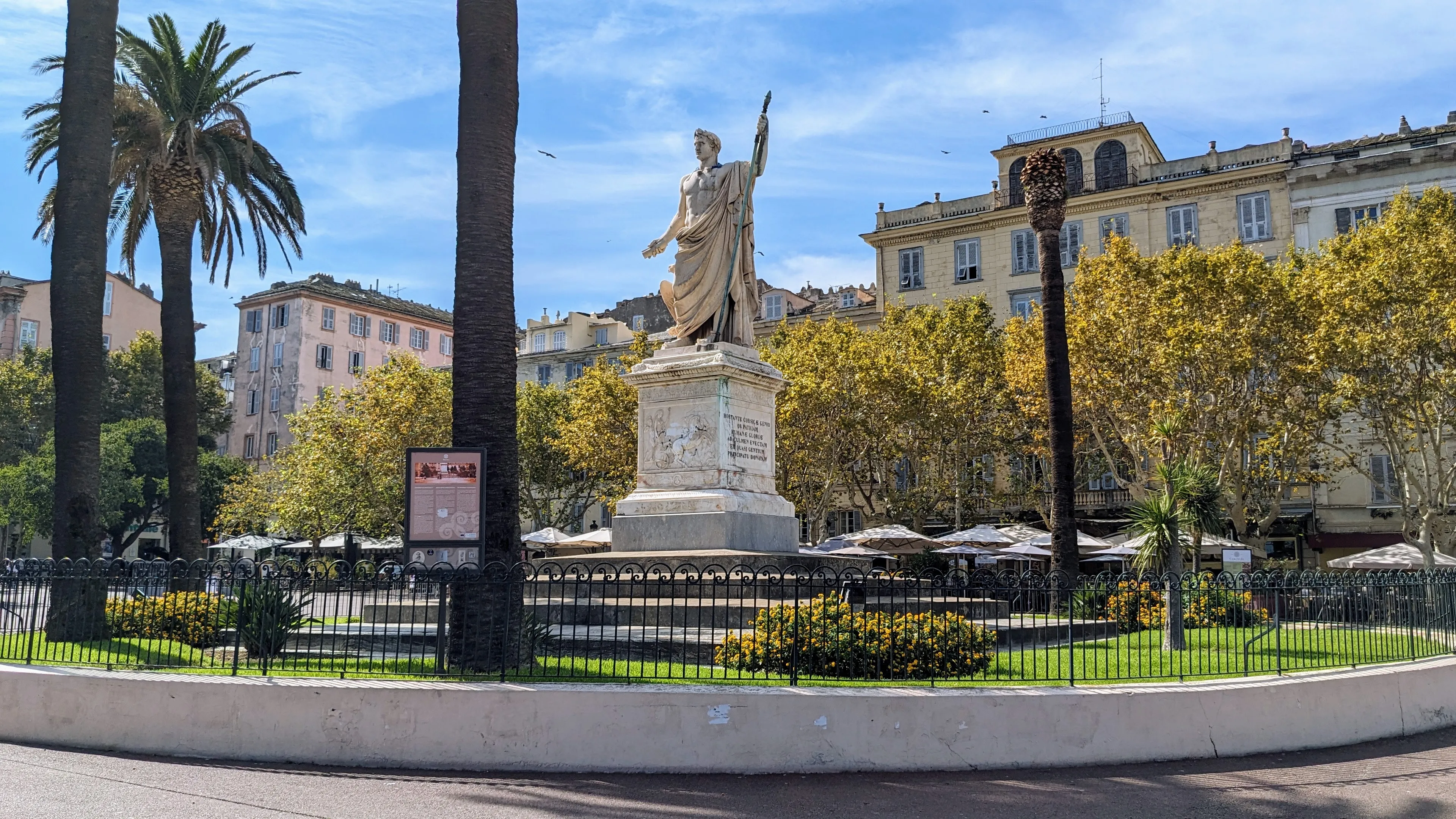
Our trip starts with 5am bike ride in Florence, balancing our heavy backpacks as we pedal city bikes through the dark streets to the Santa Maria Novella train station. We take a train to Livorno and then the ferry to Bastia, Corsica. We get groceries for the first five days of the hike, since we don't expect to be able to resupply until Vizzavona. By now it's safely afternoon, so beers in the town square of Place Saint Nicolas are in order. There is a large statue of Napoleon Bonaparte (born in Ajaccio, on the other side of the island) wearing Roman attire here, which draws our attention.
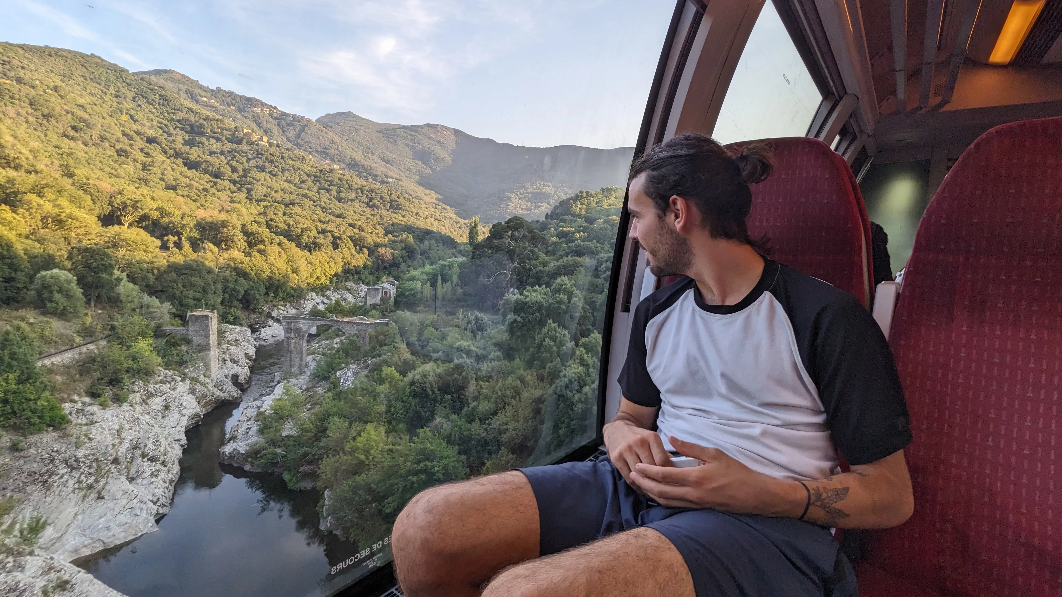
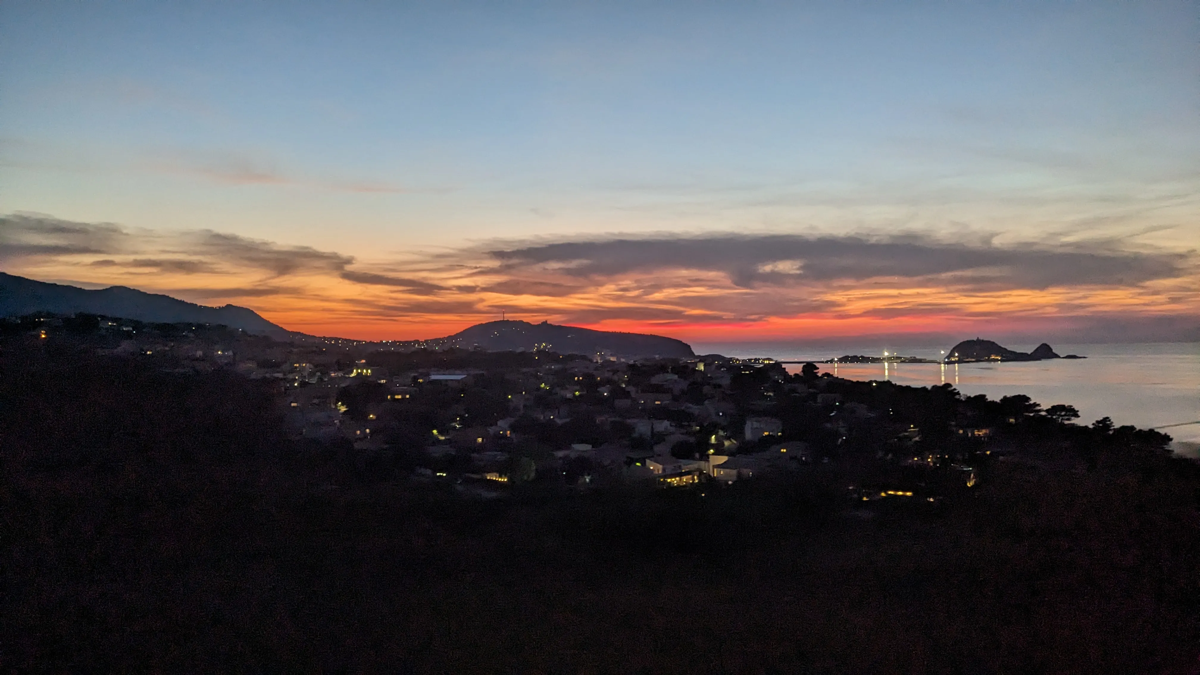
The bus we are expecting to Calvi doesn't show up - probably due to our misunderstanding of the schedule. After speaking broken French with a bus driver (Emerson took French in high school, I'm counting on him to carry the team linguistically on this trip) we are directed to a nearby train station, where we shortly catch a train to Calvi. It's quick and comfortable, and the silver lining of missing the bus is that it's now late in the day and the light is good. As the train winds through the hills, sunset bathes the mountains in orange light. We're already giddy with excitement from the natural beauty, knowing that we'll be hiking through those same mountains tomorrow. We show up late at the campground in Calvi , where the host has graciously waited up for us to check in. We order spicy "Mexican" pizza from the small restaurant, then set up camp and get ready for another early morning.
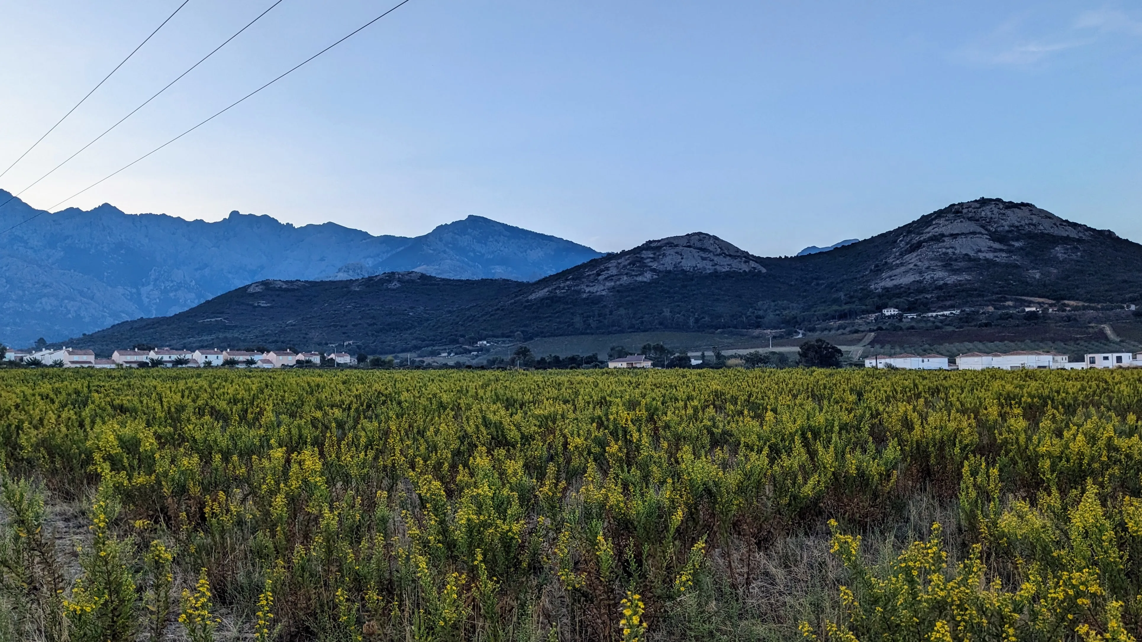
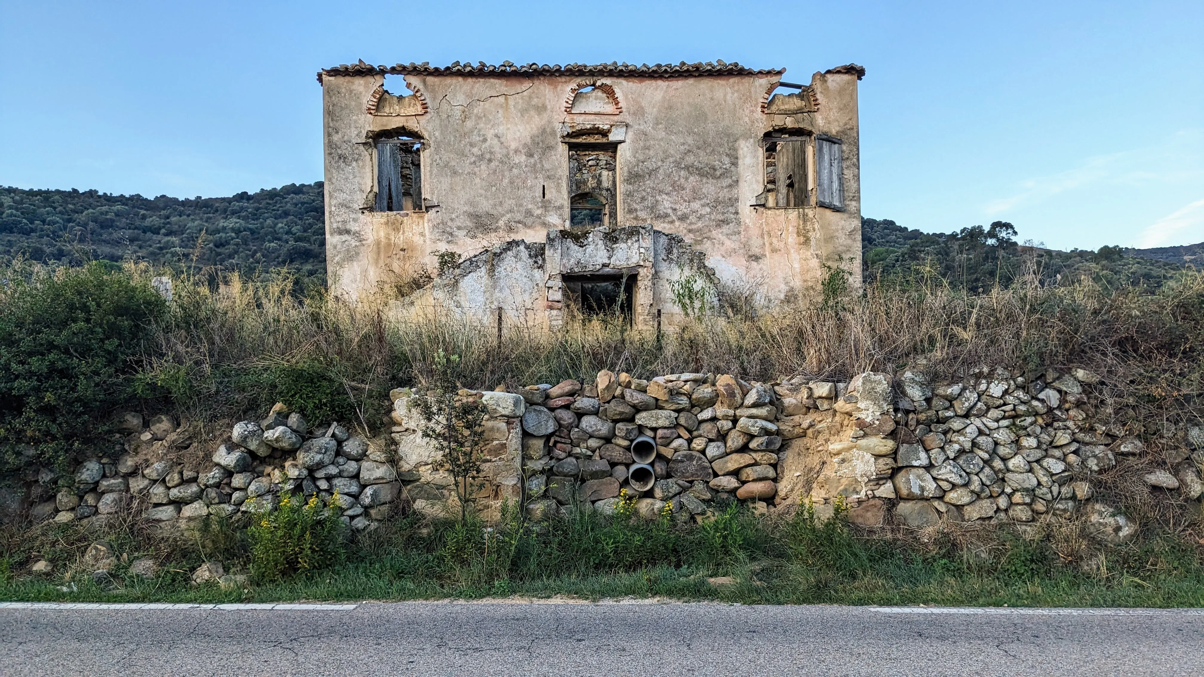
The trailhead is still 10 km up the road, in the the foothills of Calenzana, so we have an early morning road walk ahead of us. The outskirts of Calvi are lightly industrialized, but still quiet at this early hour. Small warehouses, businesses and trucks eventually give way to tall hedges, stone houses, and sunrise over the fields. The mountains loom right in front of us, building our anticipation of finally "starting" the hike (it's been 24 hours and we're still on pavement, what?). We follow the GPS through increasingly narrow roads and alleys in Calenzana, and suddenly we're at the trailhead! The first few miles of trail set the tone for the entire hike. It's steep. The coast and the towns drop away below us as we hike switchbacks up into the mountains. Pine needles cover the ground. We sweat profusely.
We come around a bend to catch sight of the first refuge on the trail - Bivouac de l'Ortu di u Piobbiu. Soon we arrive and excitedly poke around, getting a sense of what the refuges entail. It's more than I expected - there are indoor and outdoor paid camping options, with tents awaiting the hikers who have reserved them. A small kitchen. A freshwater spring a hundred meters away. Plenty of flat spots nearby to camp at, since wild camping is not permitted on the trail. The only catch is that it's early October and everything is shutting down for the season. The rental tents are actively being packed up, doors are locked, and buildings empty and unattented. We've timed our trip perfectly (imperfectly?) and are hiking the GR 20 just as all the creature comforts are being dismantled and shuttered for the season. We planned on this, more or less, and have all the food and gear we need to be self-sufficient. But seeing the full extent of what's offered at the refuges does give us a fleeting glimpse of the relative comfort we've opted out of. Oh well.
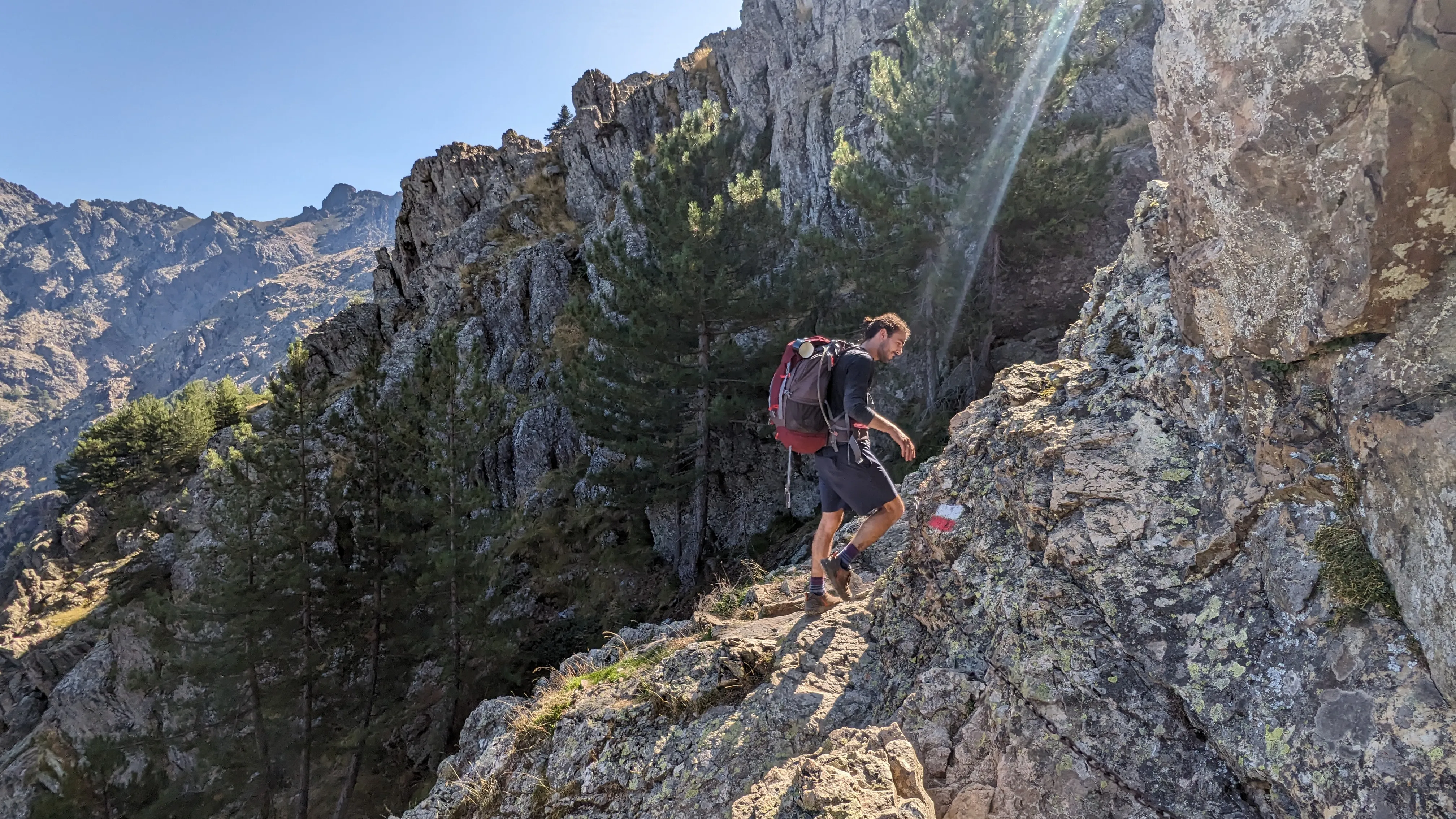
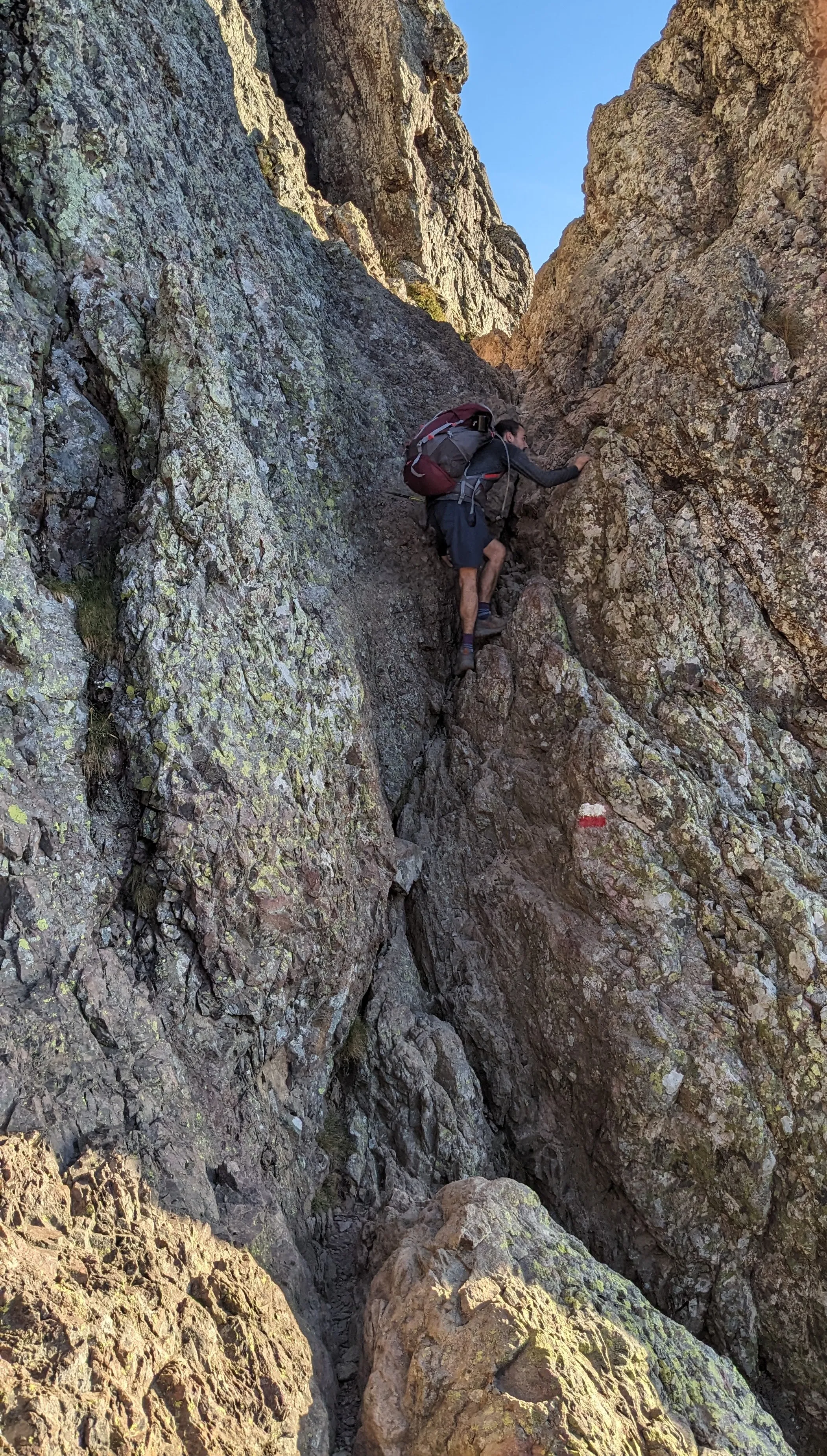
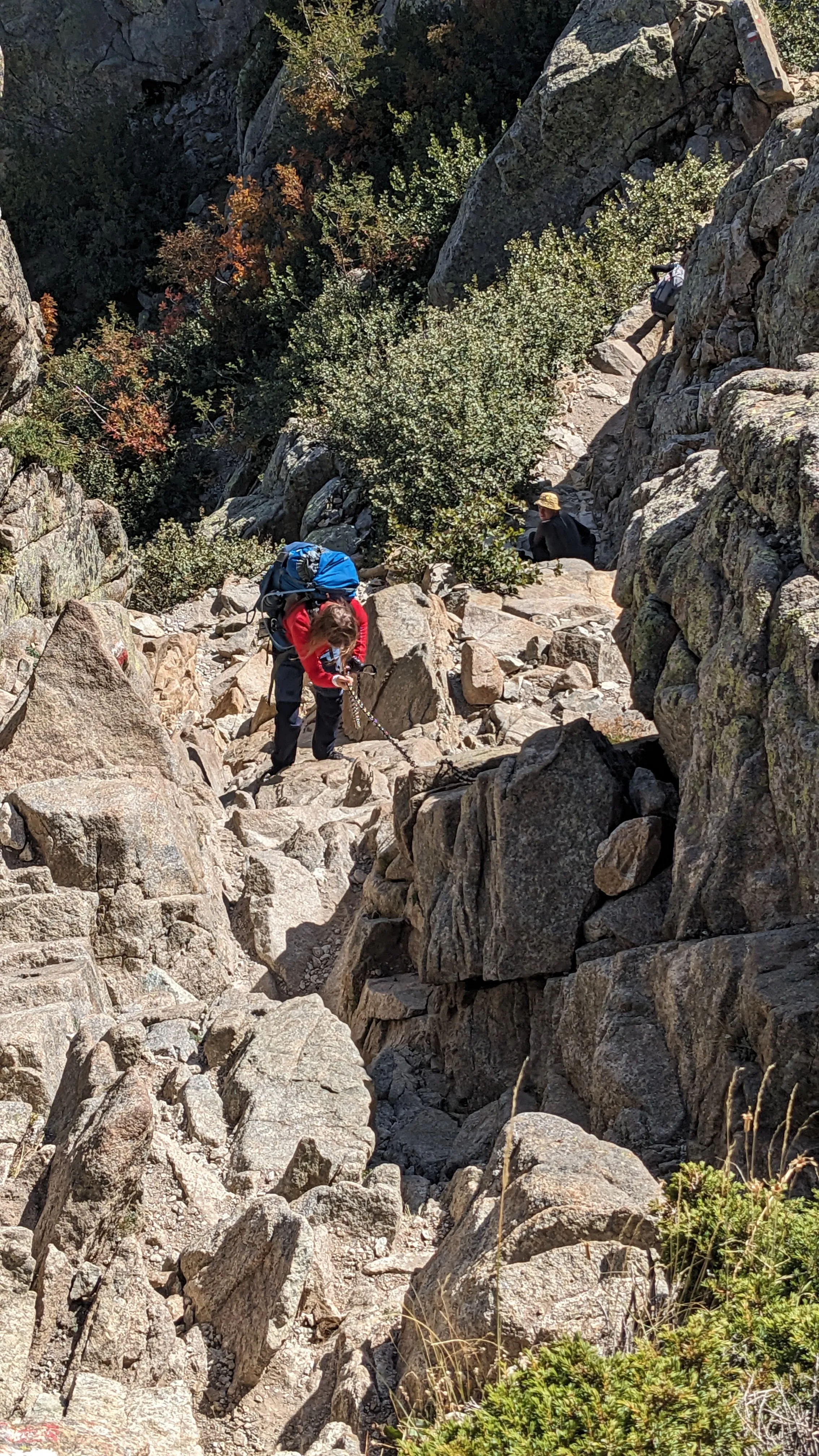
We pass the stone foundation of an old house, then skirt around the edge of a large exposed rock face with chains bolted into it as a safety measure. Fun! For a moment I'm transported back to the Beehive Trail in Acadia National Park, climbing up metal ladders and rungs as a child. We emerge from the forest and the trail now feels like a real alpine hike. Sharp rocks replace pine needles underfoot and switchbacks are abandoned altogether in favor of steep, direct scrambles. But we're rewarded. The view from the Bocca Piccaia pass is ridiculously picturesque - mountain ridges layered on top of one another, fading into the distance. We're giddy. It's only the first afternoon and the scenery has left us speechless.
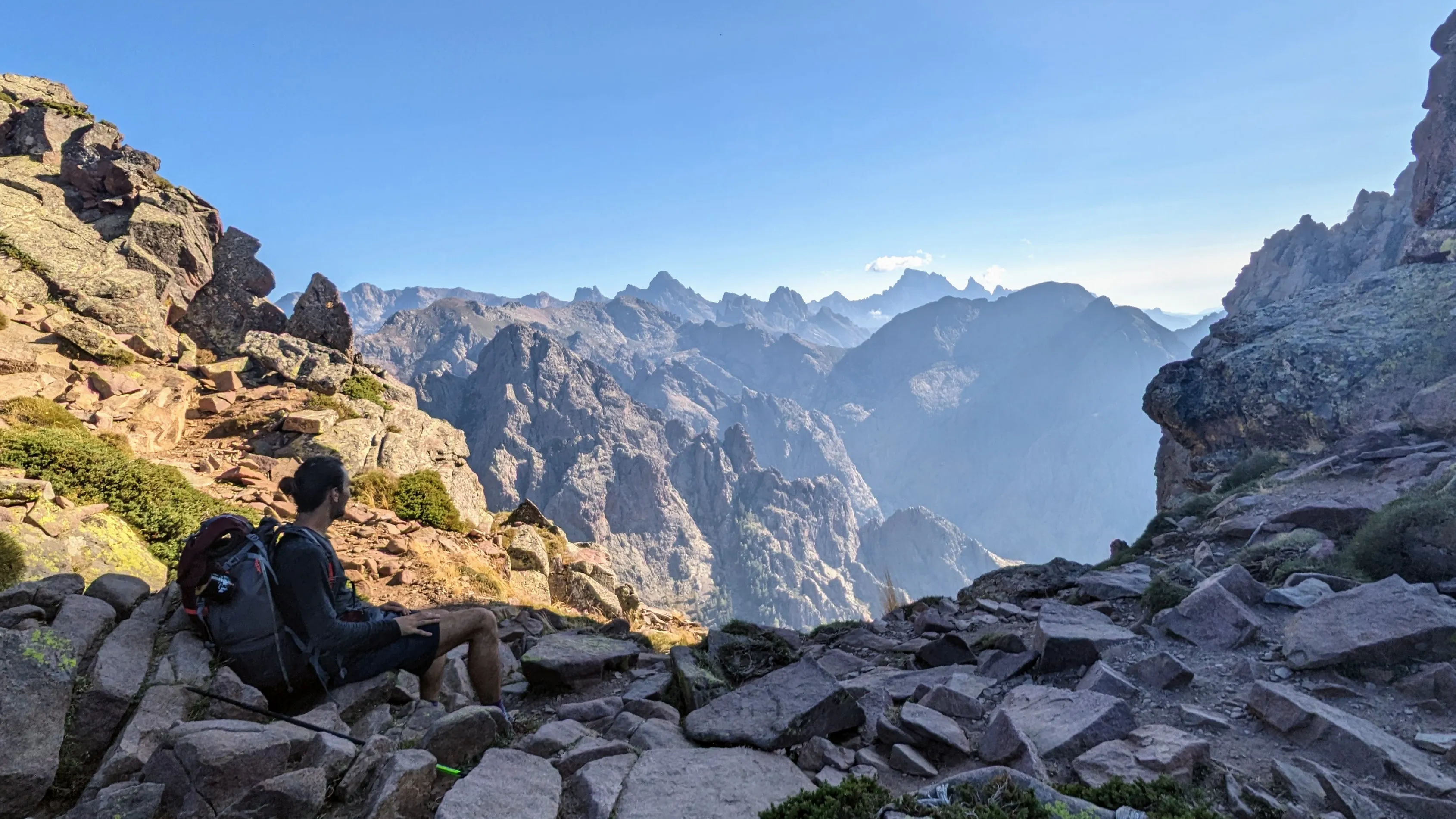
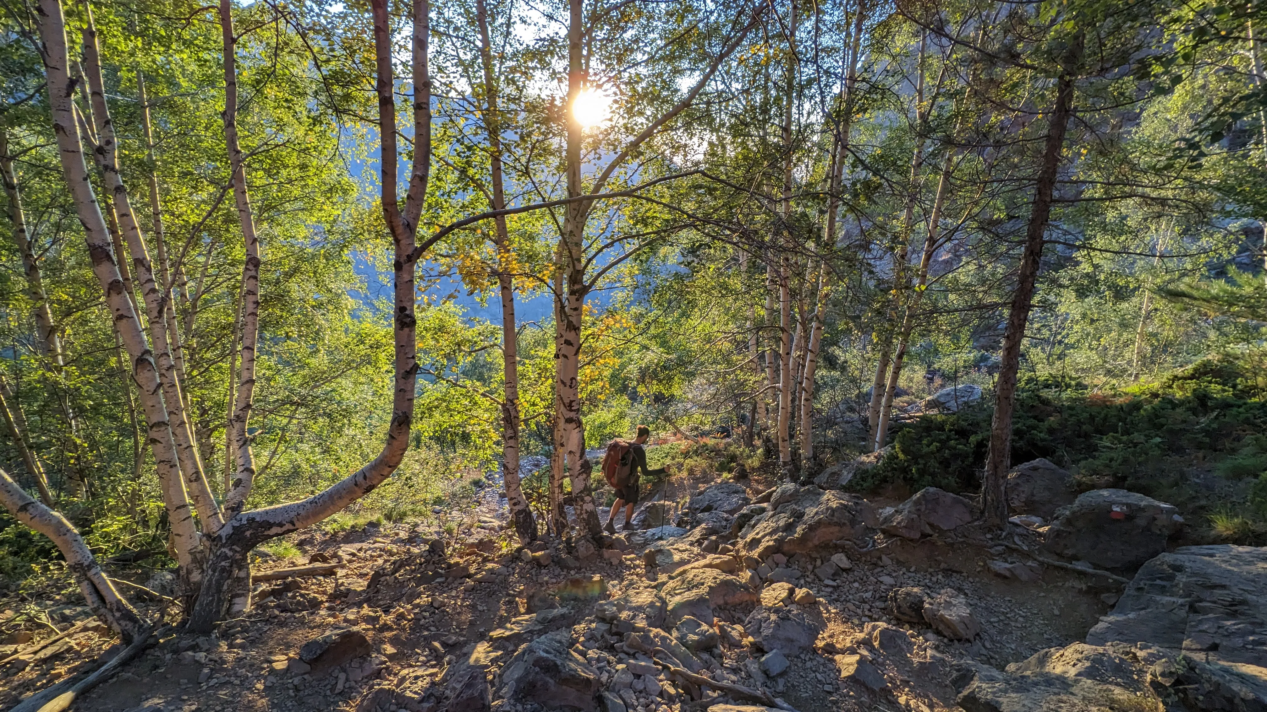
The trail traverses below Capu Ladroncellu to another pass, then drops quickly 2000 feet down steep, loose rock (I see a theme forming) to the second refuge: Carozzu. We arrive at dusk and hastily set up our tarps on wooden platforms. The refuge is still open, with a handful of people inside enjoying the warmth of a small wood stove. At this point I realize that the isobutane fuel canister we bought in town (Campingaz brand) uses a different thread than my screw-on stove, meaning we need to either use our slow, underpowered alcohol stove or rely on unlocked refuges having kitchen stoves with leftover gas. Oops. Thankfully the latter is true at Carozzu and we are able to cook dinner inside.
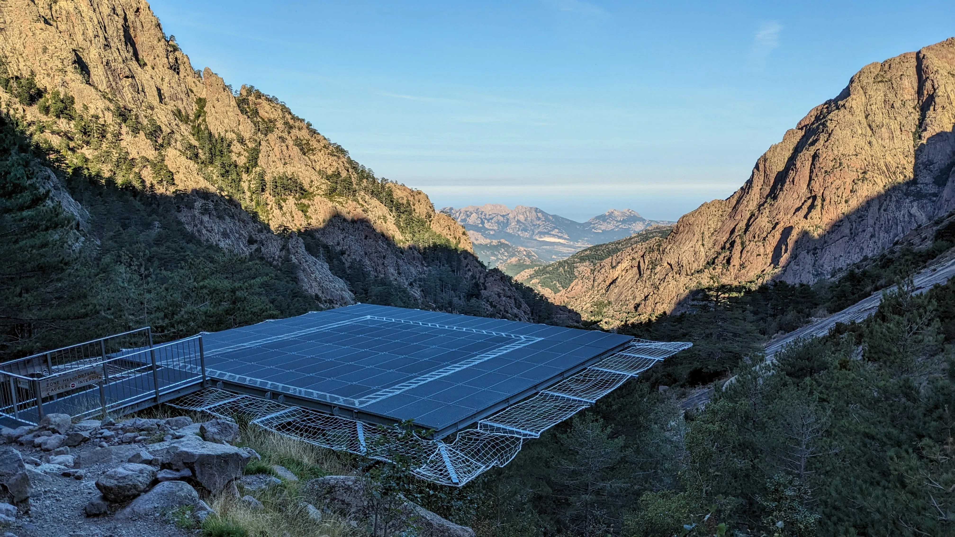
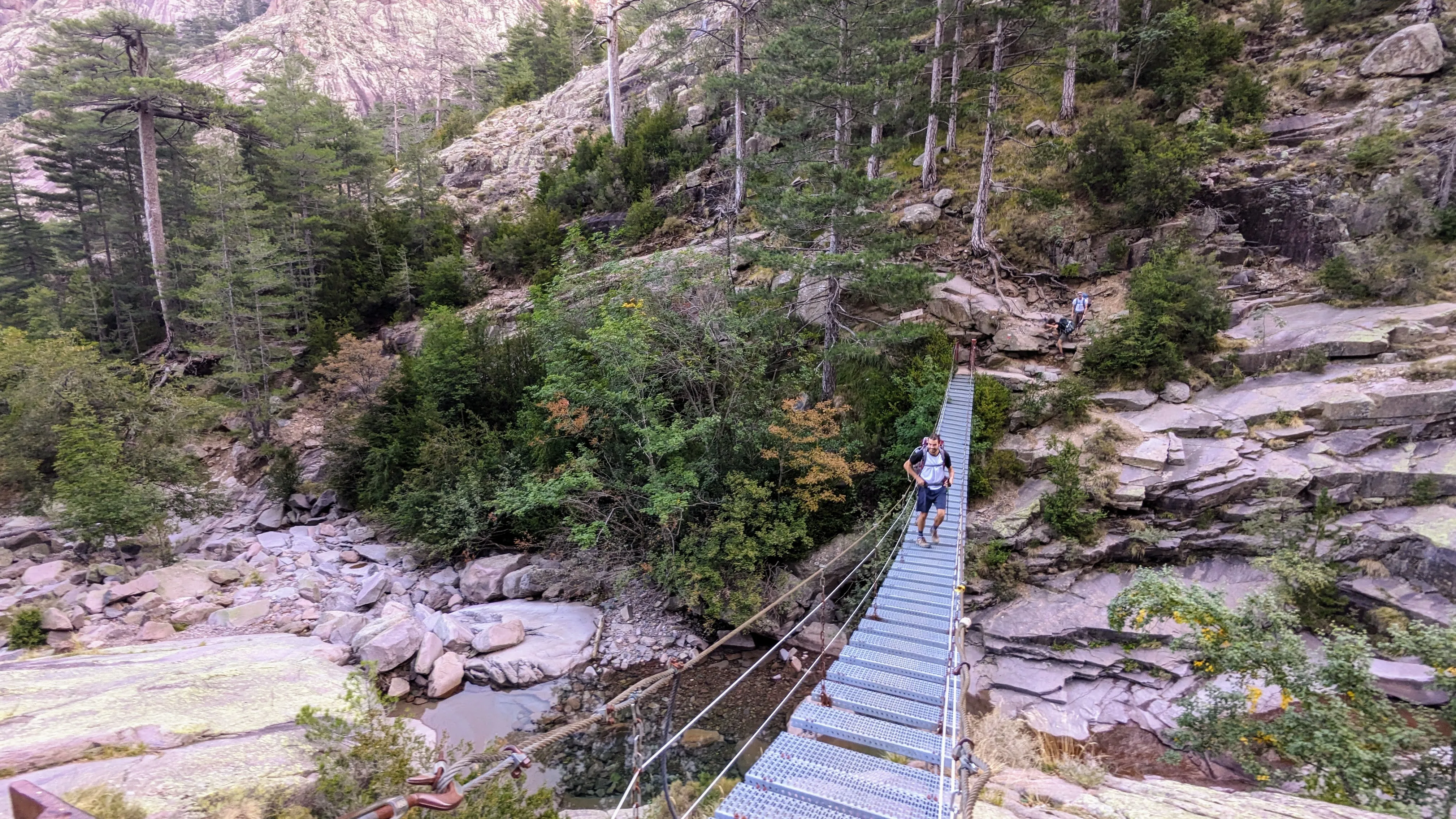
Hiking out of Carozzu the next morning is more exciting than expected. First we pass a helipad, presumably used to ferry supplies to and from the shelter. It makes sense in these steep mountains. It's just an unexpected bit of infrastructure to see coming around the corner in the woods. Next up is a long suspension footbrige that crosses a canyon - which we then have to hike directly up. The trail is entirely on rocks, which I still can't get over. Up a giant pass and down the other side, we arrive at Haut-Asco, a small ski area.
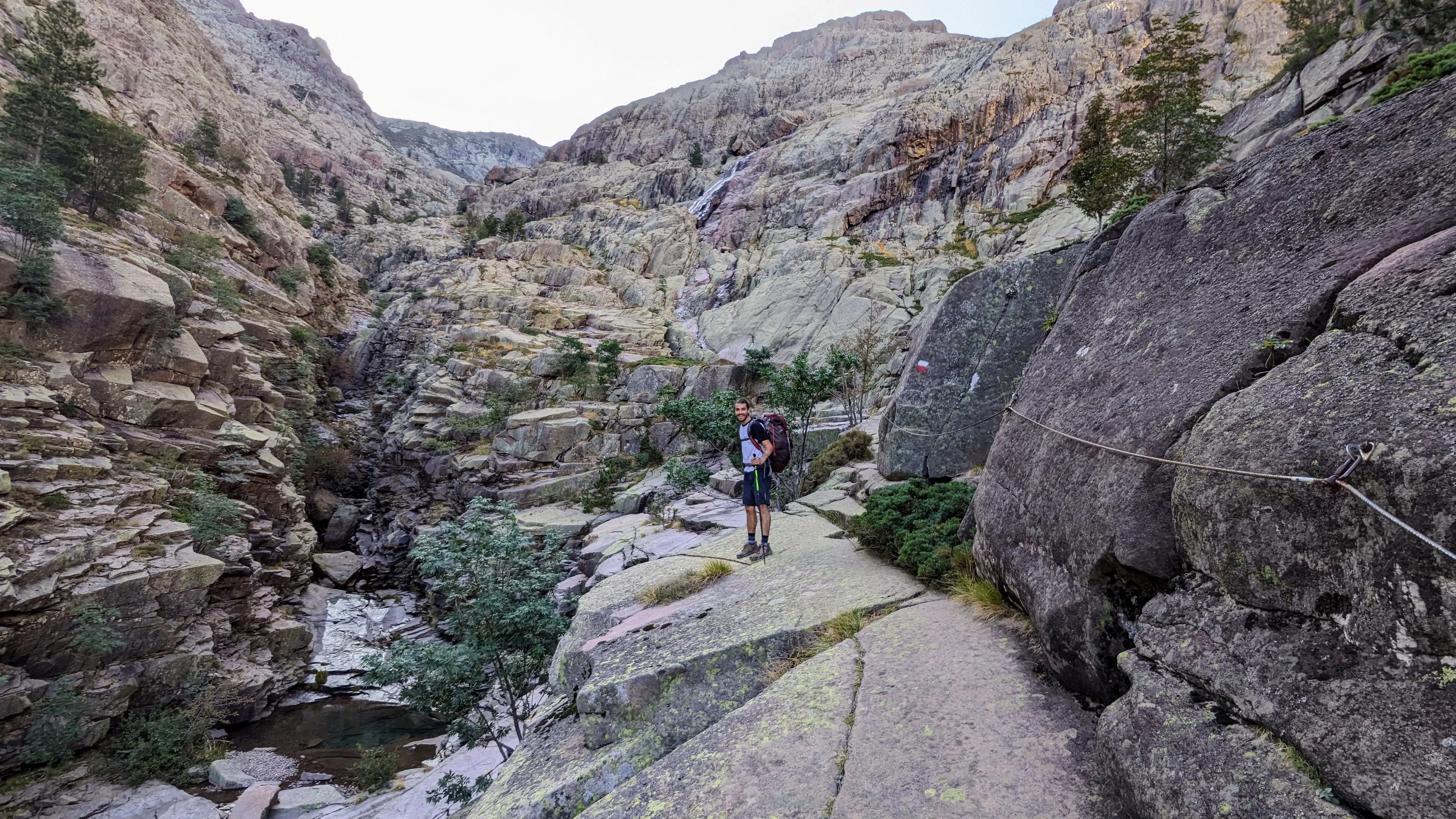
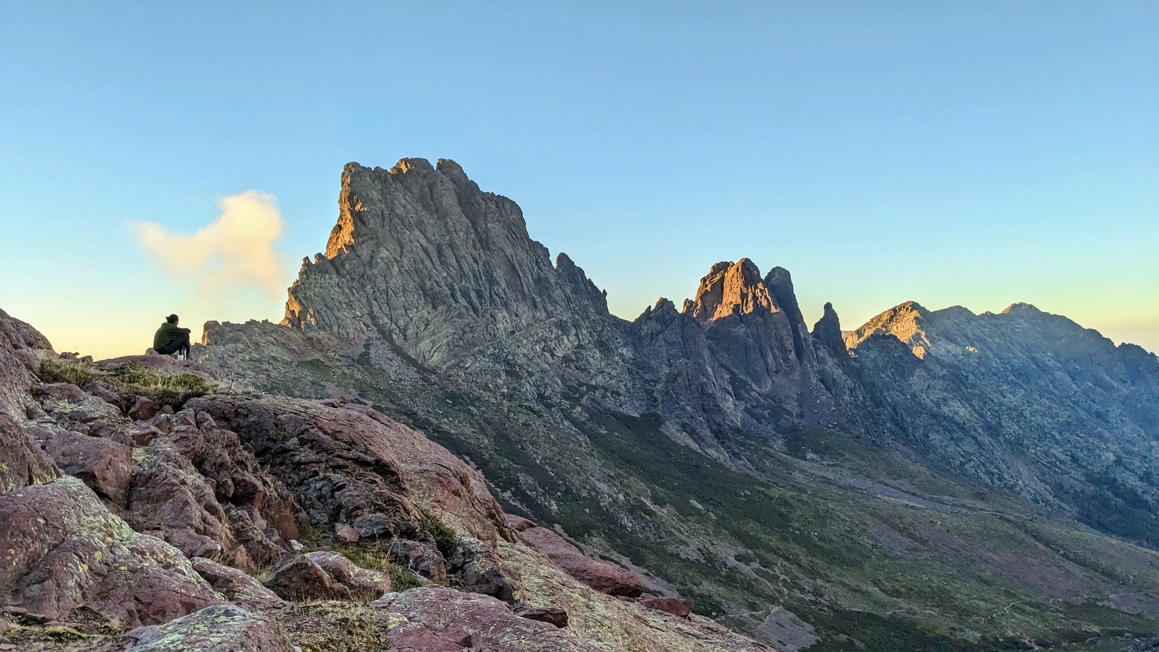
As I marvel at the chateau, Emerson goes into the small store and emerges with a surprise beer. Excellent! However, the booze seems to go right to our heads, and we take the wrong GR 20 variant as we leave, costing us a good bit of the afternoon. We bushwhack to get back on trail and enjoy a beautiful hike up to the heady of the valley. We have no chance of arriving at the next refuge before dark, so we camp (unsanctionedly!) near an alpine lake just below the Cirque de la Solitude, being mindful to leave no trace. We eat dinner as the sun sets over the valley and marvel at the rays of light peeking around the sharp rock ridges of the mountains. We hear a noise in the distance, and follow it to a couple of wild mountain sheep (mouflon) parading around the impossibly steep and loose slopes above us.
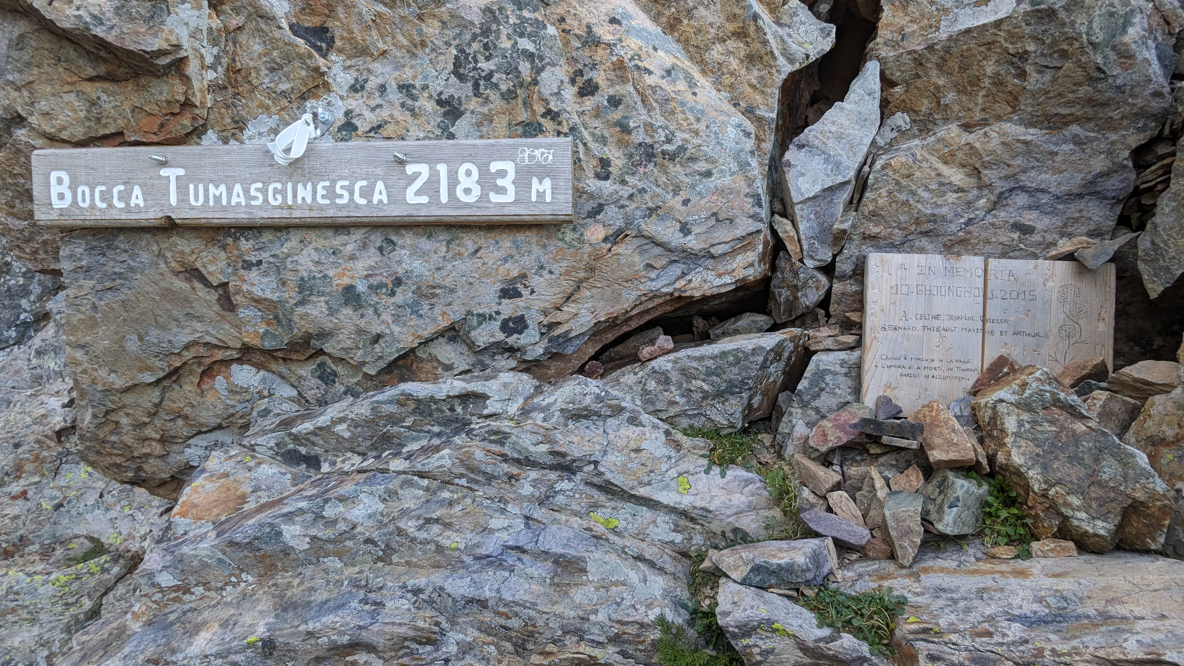
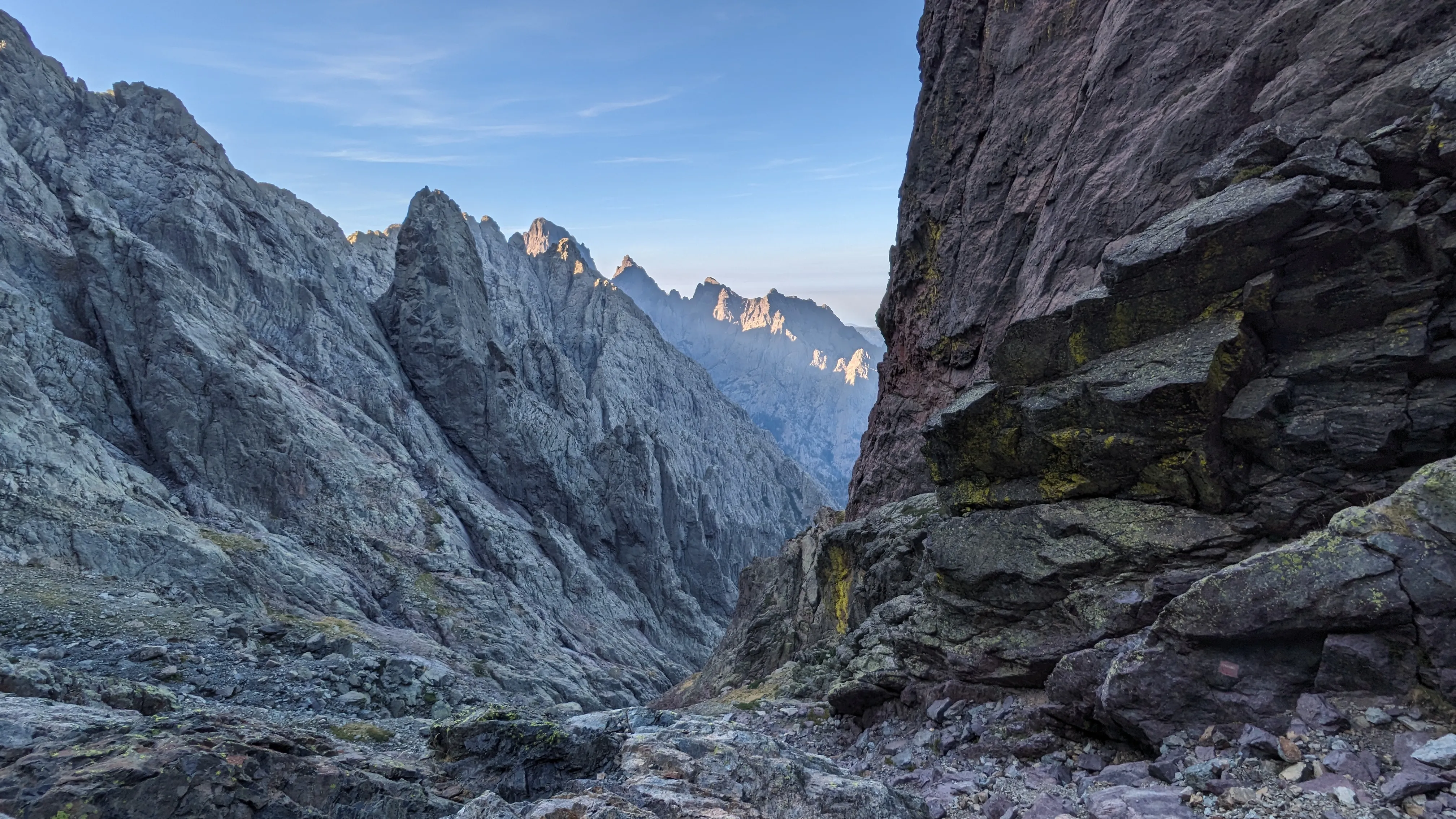
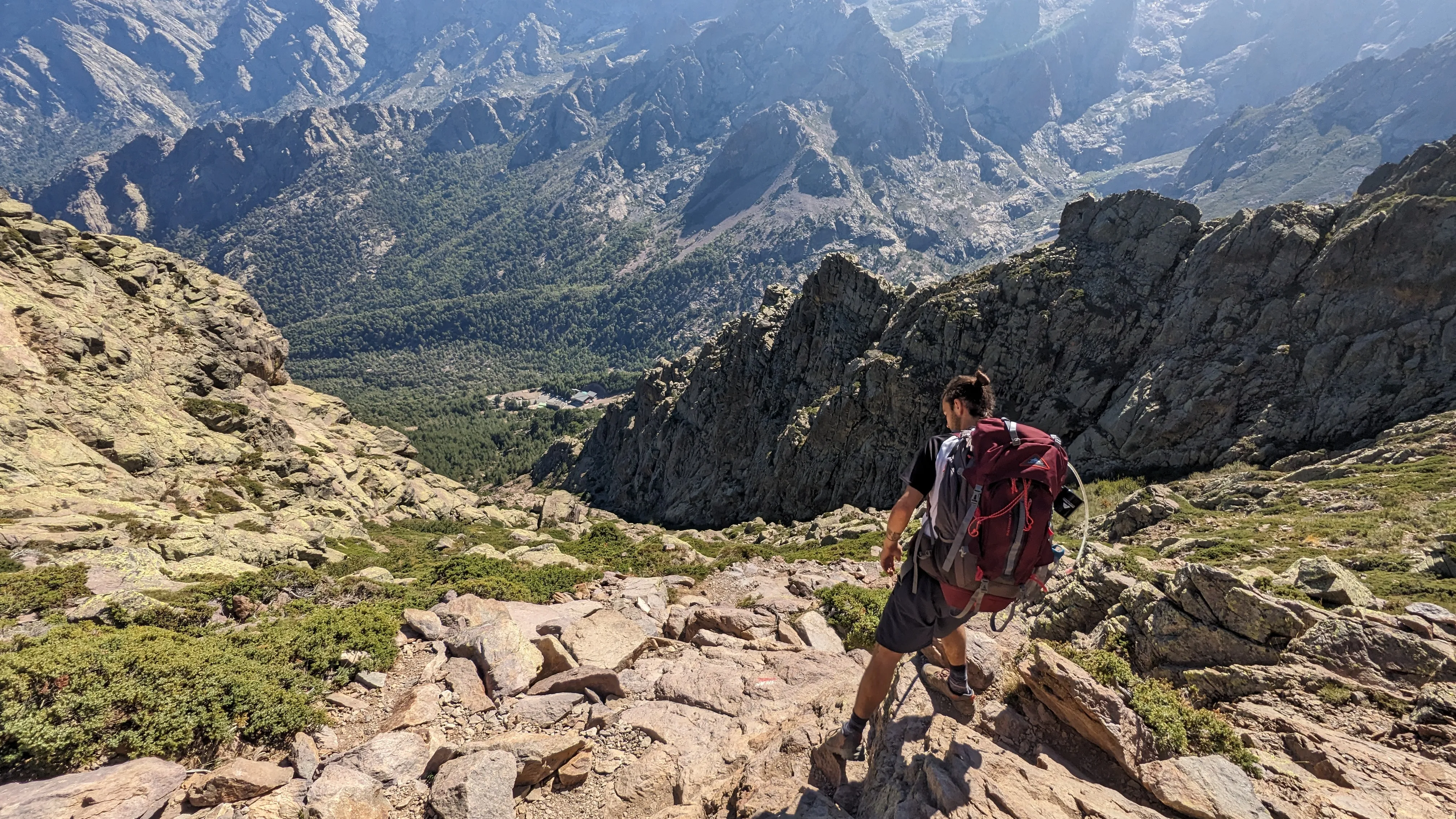
The day starts with some light rock climbing through Cirque de la Solitude. This is a very steep basin that the trail crosses. Or rather used to cross - after a fatal rockslide in 2015 the official GR 20 route was rerouted around it. Apparently my maps are outdated. Finding the route is challenging. There are occasional blazes, but they are hard to spot from above because we are moving mostly vertically, down the rock. We cover a kilometer in an hour and a half. The trail down to Refuge Tighjettu is long and rocky. The valley view below us competes for our attention with the steep rock slabs and boulders we hop across. We arrive at the refuge with simultaneous bathroom emergencies, only to find the outhouse locked for the season. We retreat into the mountains to do our business au naturel, then wash up. We raid the sparse pantry for a small box of Mini Wheats, a half bar of chocolate, and a juice box.
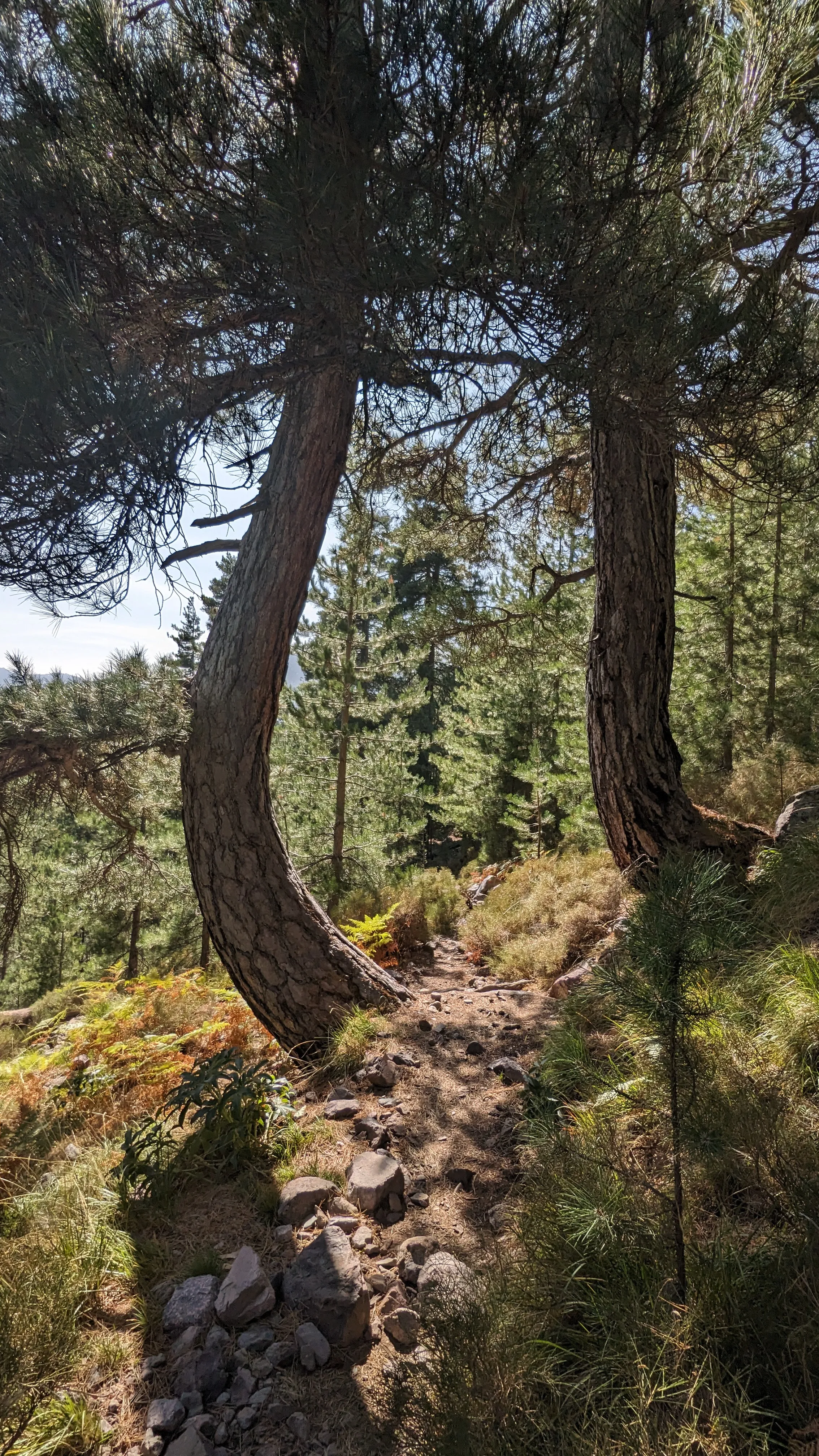
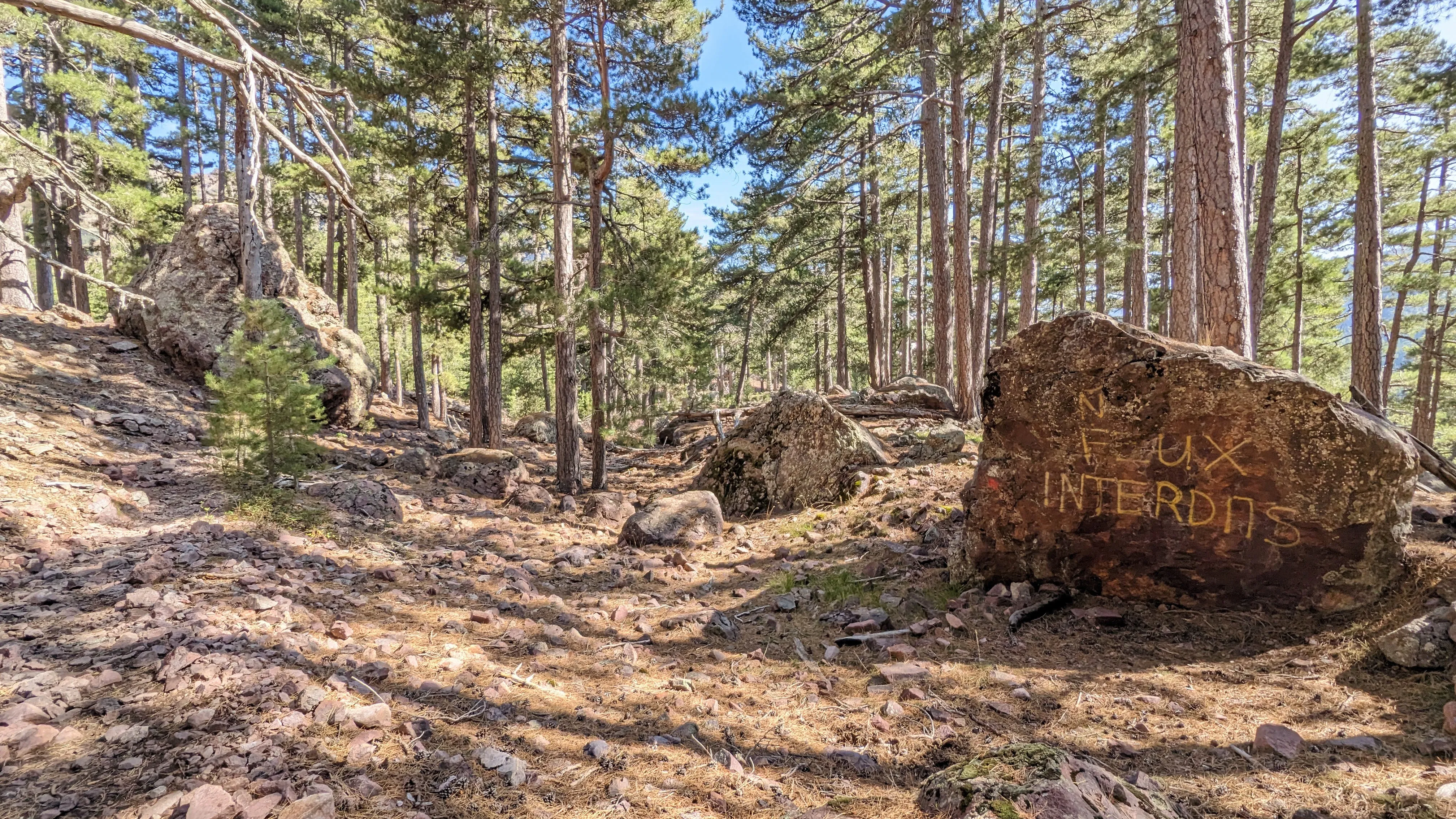
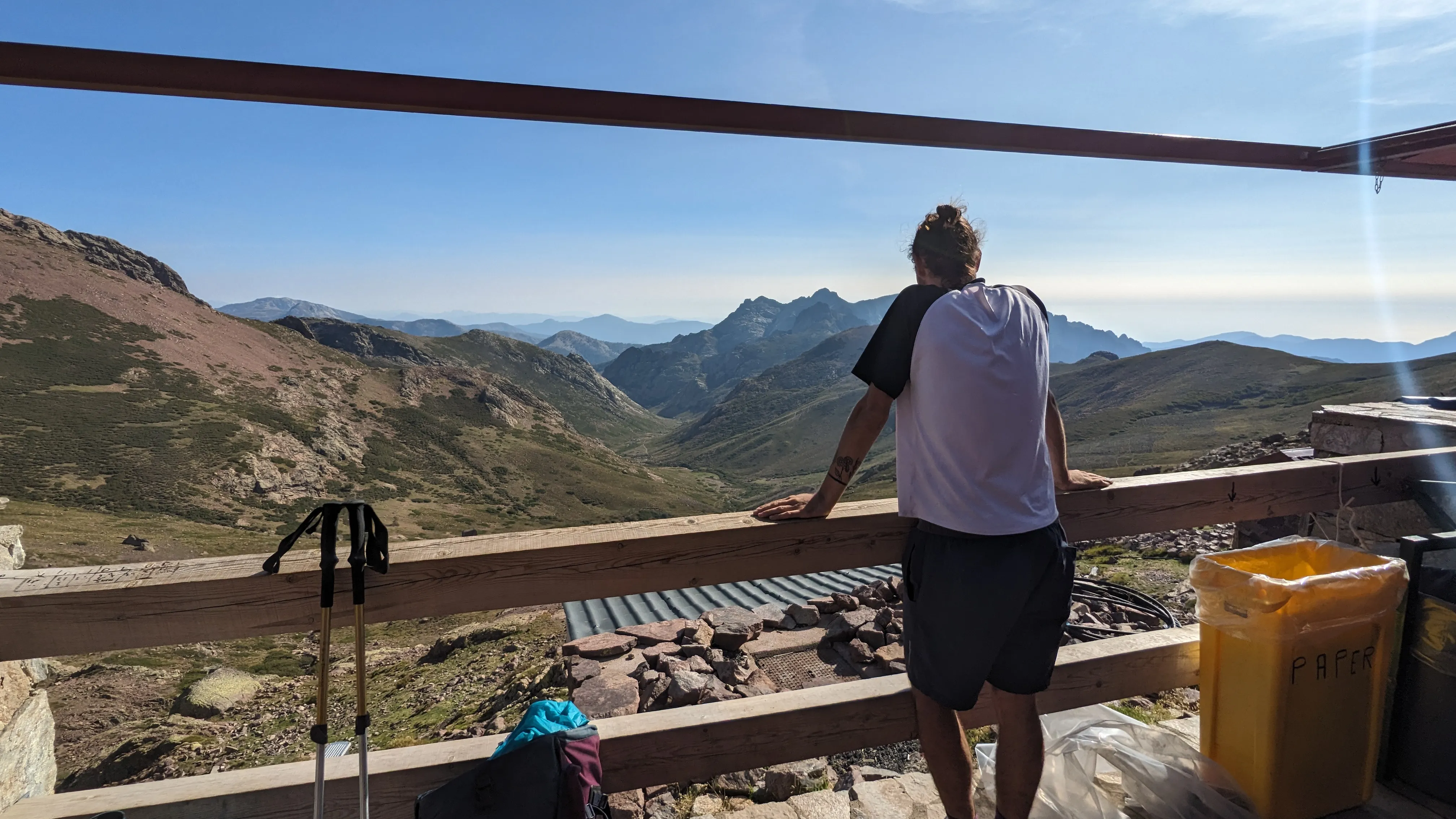
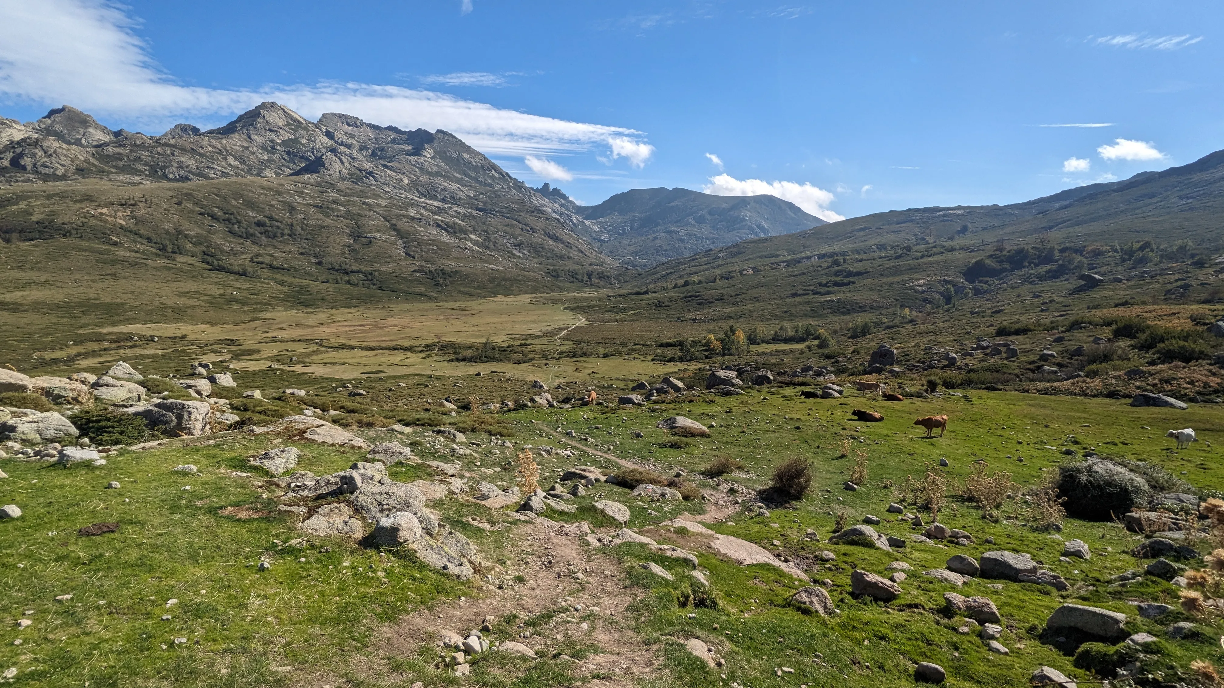
We continue down the trail then turn and climb steeply (of course) to Ciottulu di i Mori, the highest refuge on the trail. It lies at the head of a broad, grassy valley. We hike around the small cirque, staying up on the ridge until we scramble down the gravely hillside to walk alongside the small river at the bottom. The clear water pours from pool to pool as we descend the valley, the ground dropping gradually away as more mountains rise in the distance. It's late afternoon and the campground at Col de Vergio is still hours away, so I'm hasty to make good time. But Emerson has other plans. How can we not take a dip in the most idyllic mountain stream we've ever seen? I acquiesce, and don't regret it. The water is cold but refreshing, and is the perfect intermission during our longest day of the trip.
An hour down the trail we spot smoke. Crossing a bridge over the river (now substantially wider), we are stunned to find the source: a huge dead tree is on fire, smoldering from within. Another group of hikers is here and has already contacted the emergency responders. We hang around and wonder how this started - arson? Lightning (except it wasn't stormy)? A campfire out of hand? A helicopter circles overhead and we wave them down then resume our hike, knowing there's nothing else we can do. A Castel de Vergio hosts both a hotel and campground, but we're clearly too dirty and underfunded to sleep at the former. Nonetheless, it's nice to end a long day near some type of civilization, should we need it. There are a few cars in the parking lot, and some non-hiking tourists enjoying dinner in the hotel restaurant. A donkey stands quietly behind a Tesla, surprising us as we walk by. We resupply on snacks and get beer and sandwiches to-go from the adjoining store, then retreat to the campground to cook a second dinner. There is a "Beware of the Fox" sign at the entrance, so we are overly cautious. And curious.
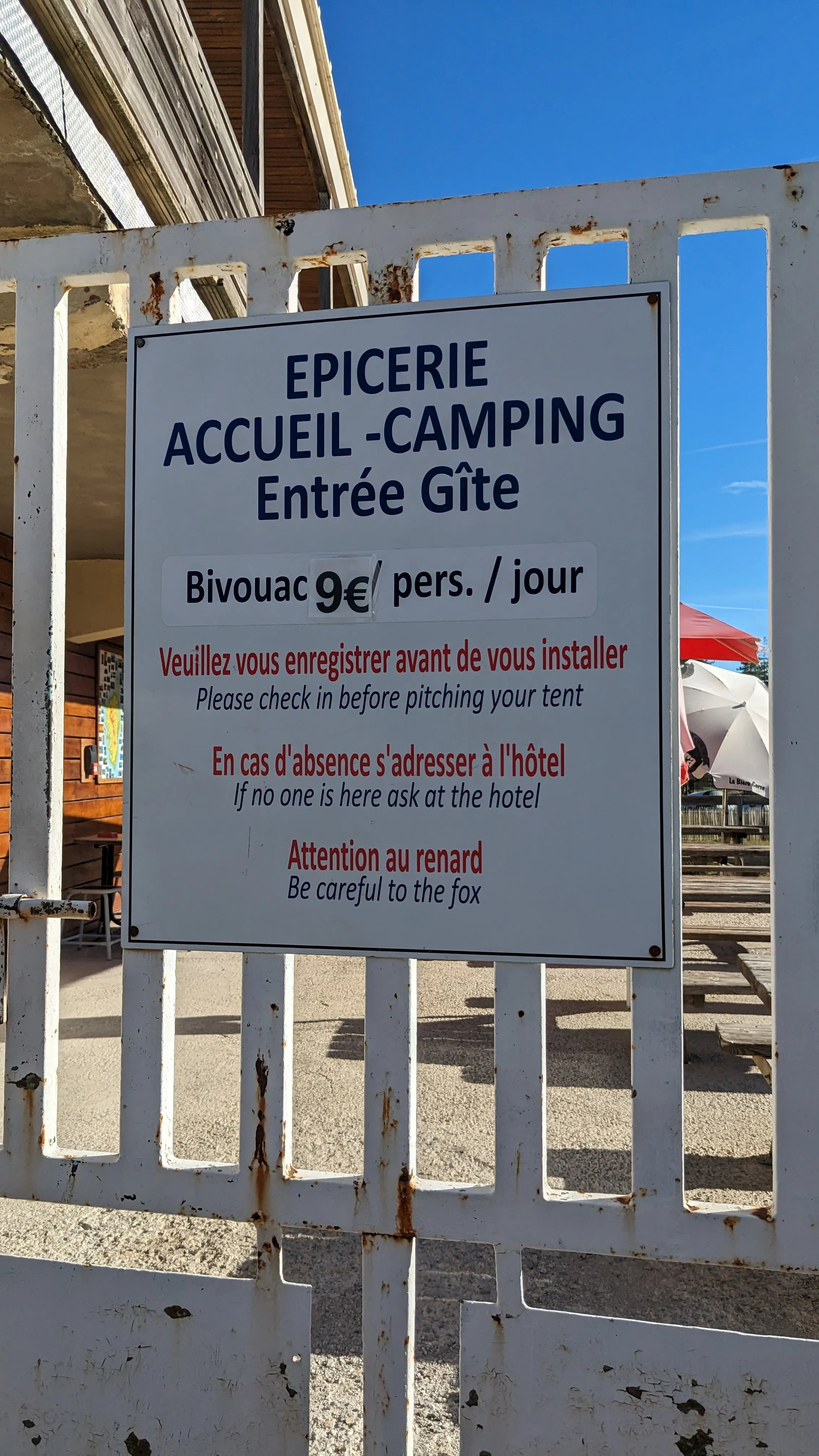
The aforementioned donkey also serves as an alarm clock. I wake up exhausted and groggy, and worry I might be coming down with a cold. As we leave the pavement to get back on the trail, we meet another hiker who is waiting for a ride, having cut his hike short due to an ankle injury. On the bright side, Emerson found his favorite hat yesterday on the trail (and is wearing it) so we are able to return it and have a good laugh together. The route climbs a ridge then drops into a wide, flat basin of Lac de Nino. The trail is busy with day hikers and tourists, as we are still near the road to Col de Vergio and its trailheads. The scenery starts to remind me of New England, with gnarled old trees and roots and rocky hillsides. We make it to Manganu refuge, wash and do laundry in the small stream, and go to bed early.
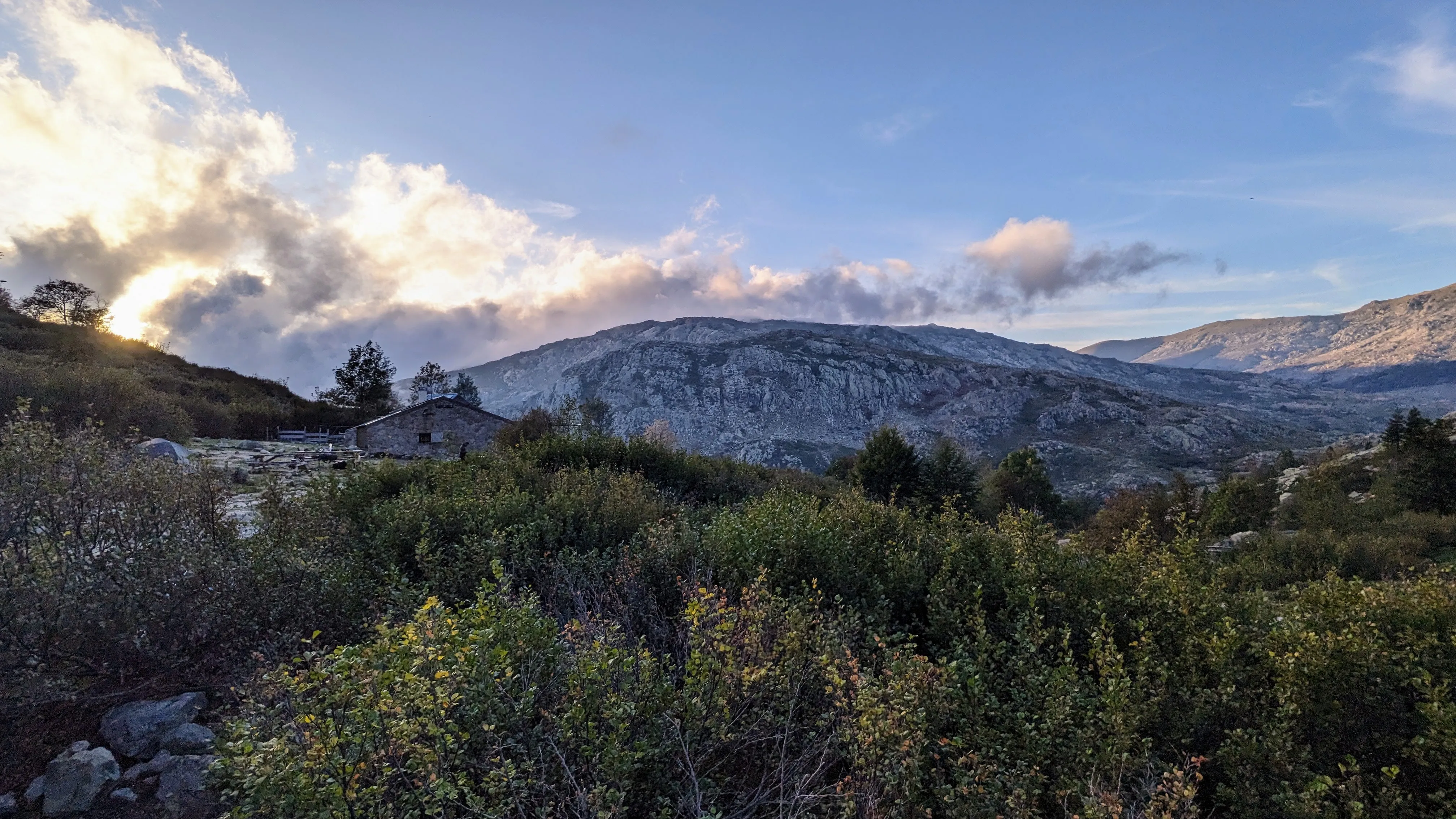
At the picnic table outside the refuge, we trade water purification tabs for a hot cocoa packet from a Solvenian and German couple. We have begun running into the same hikers over and over again. It's fun and it lends a sense of comraderie, even if our interactions are brief and infrequent. We're also acclimating to the terrain. The climb out of Manganu is 2000 feet in under two miles but it feels like a breeze. The trail around Bocca alle Porte is rocky and sheer, with chains and slow, zigzagging steps. But the views of lakes below are spectacular.
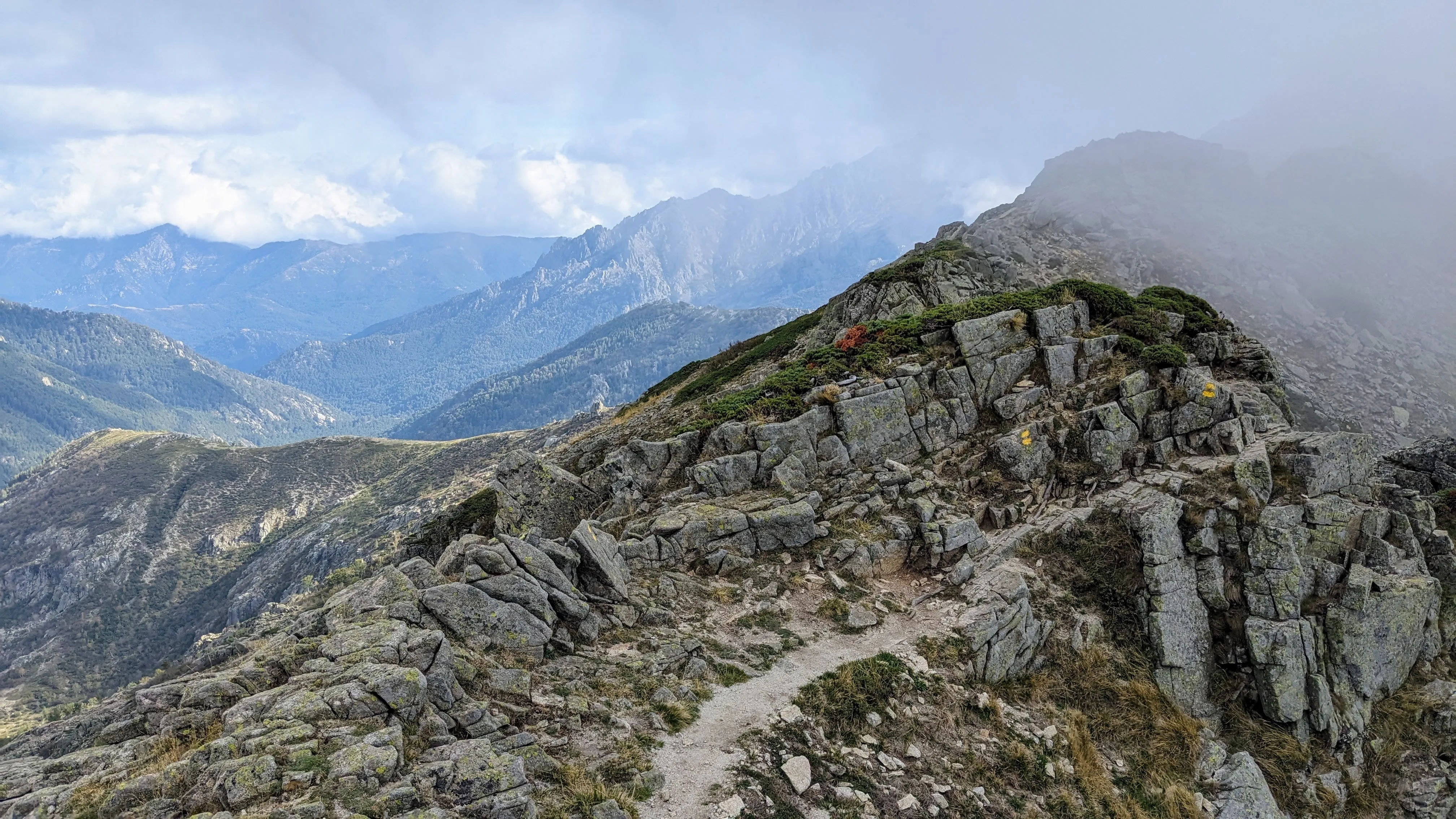
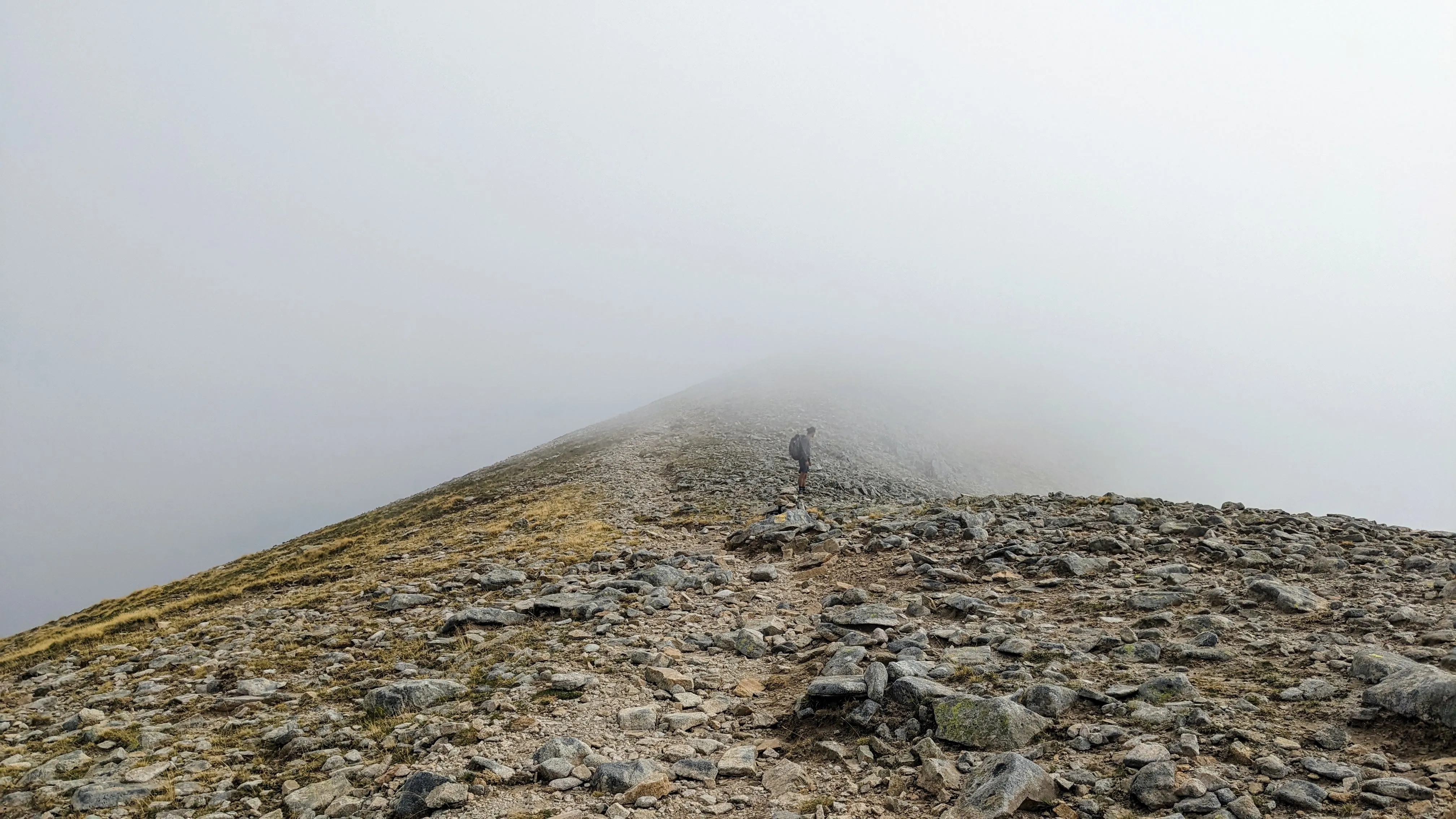
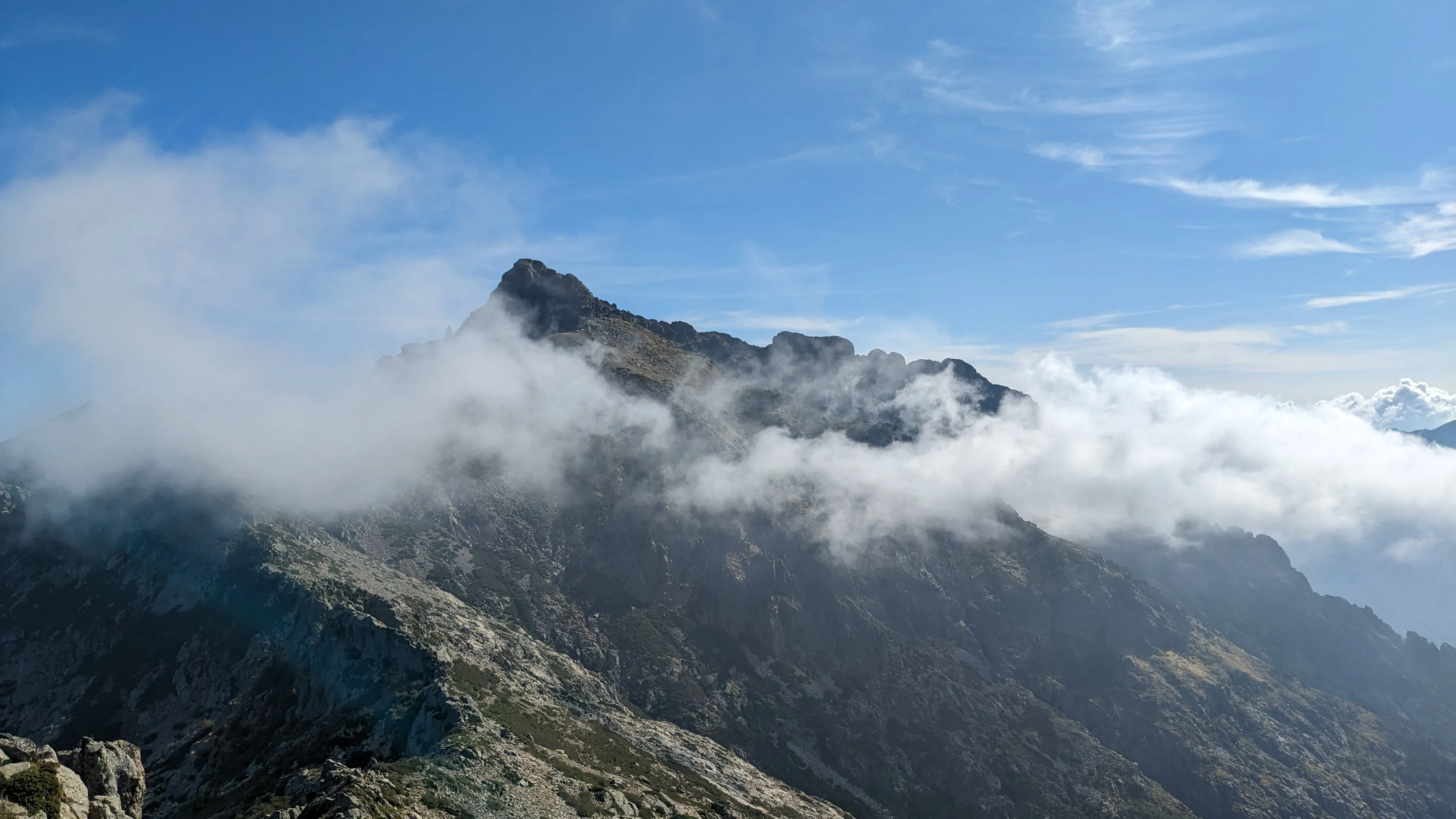
We descend to Petra Piana for a lunch break, then carry on toward L'Onda. There is an alternate route for this section and we opt to take it. Rather than descending down into a valley and back up, we hike along the ridge. The clouds are low and moving quickly, making for a dynamic mood to accompany the stunning views. One minute we're hiking inside a cloud bank, the next moment the sun is blasting through like a spotlight on the trail. The alternate trail is technical and has lots of exposure, but is well-marked. We descend to the L'Onda refuge just as the sun sets, peeking underneath the clouds in the distance.
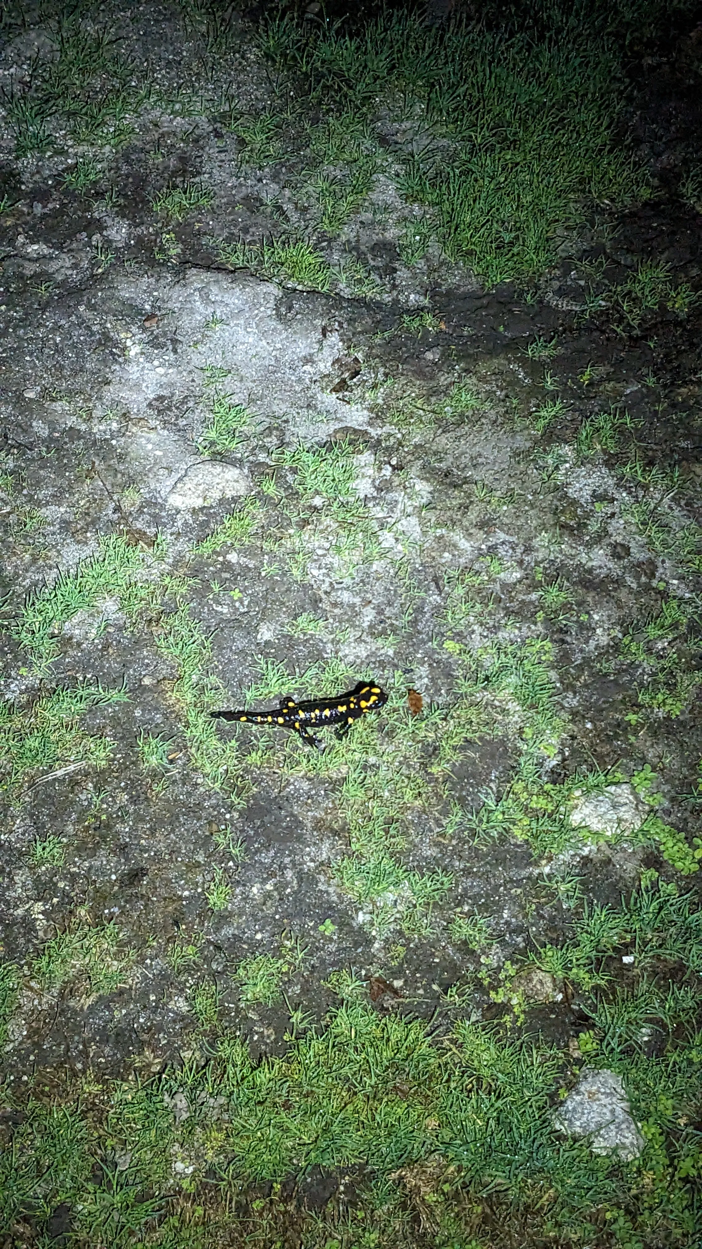
Our experience at L'Onda is quirky. It's set down in a valley, slightly off-route, which requires a steep hike out first thing in the morning. The camping area is gated and feels more like a livestock pasture. It's even farther down the hill than the refuge, and we need to hop a locked fence to get in. There is a spring in the corner of the field which has created a miniature floodplain. I try not to soak my shoes as I tiptoe to the pipe. I catch sight of a small black and yellow salamander, no doubt attracted to the swamp-like habitat that's been formed. The refuge itself is cozy and still seems to be operating - many hikers have bunks for the night. We crowd inside the kitchen, trying not to displace any paying customers. Everyone cautiously eyes each other's meals to see if they are equally as pitiable as their own (they all are).
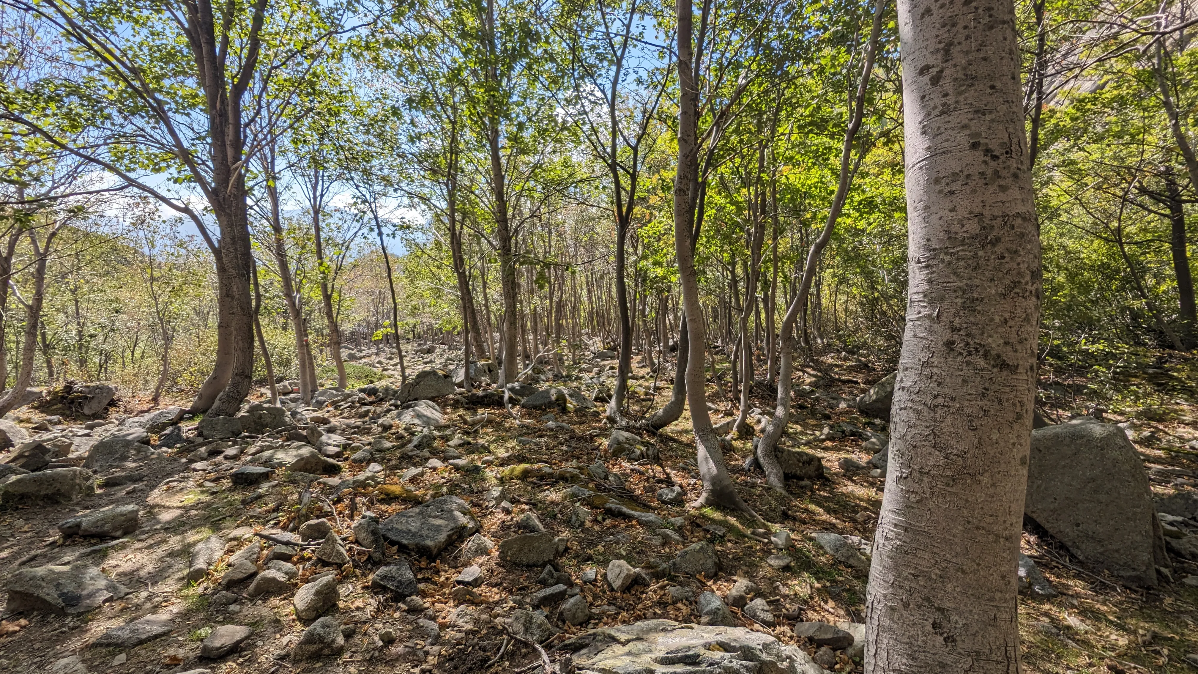
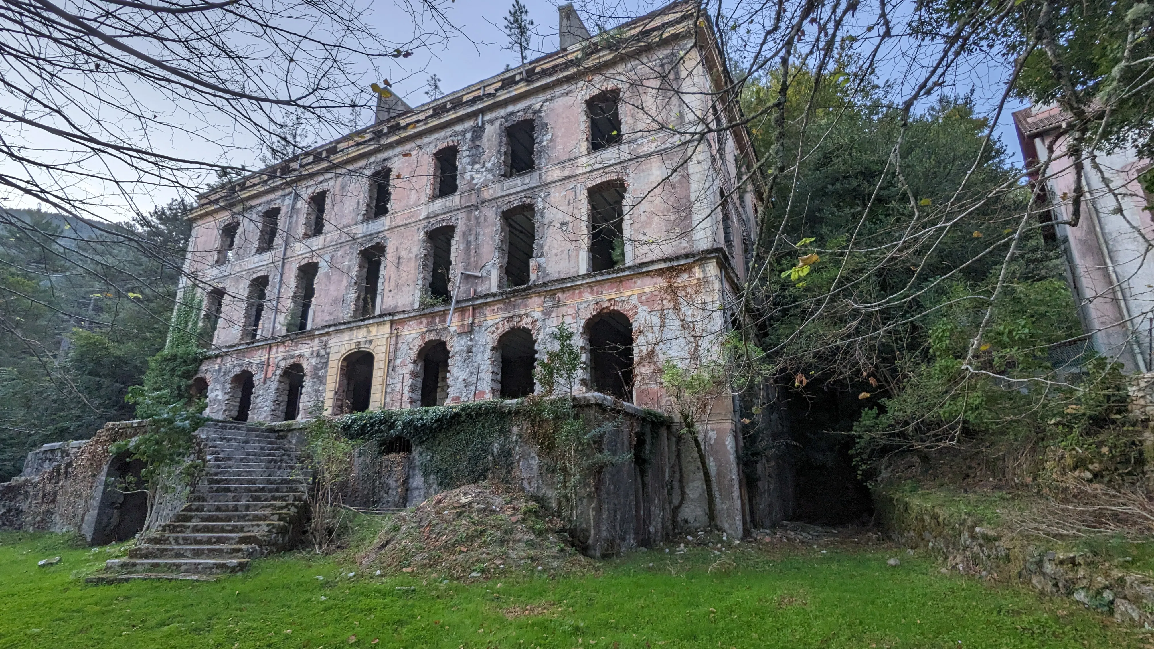
The shaded valley around L'Onda stays cold well into the morning, but we finally rouse ourselves and climb back up to the trail. Today we'll head to Vizzavona, the half-way point of the GR 20 and the only "town" directly on trail. We decide to skip the alternate route over Monte d'Oru. The thought of all the extra descending makes my knees hurt. The main route follows a wooded autumnal valley with waterfalls and footbridges. As we get closer to Vizzavona, we see other groups of people picnicking and sitting along the water, with a few brave enough to swim. The trail dissolves into a dirt road, and an hour later we emerge on the paved road that leads through Vizzavona. We walk by a stately old abandoned hotel (?), being reclaimed by moss and trees. It's beautiful - four stories with symmetrical curved stone stairs in front - and we're tempted to explore it, but the fence around it convinces us otherwise.
Vizzavona has a campground with a small store, where we can resupply on food and fuel. As we stare in awe at the stocked shelves (it doesn't take much to impress us at this point) and deliberate our meal plan for the rest of the trip, the owner makes a show of yawning and scoffing at us for not being prompt with our purchases. Whatever. We decide to stay on his good side since he runs the place. After beer and a snack of prosciutto, bread and cheese, we walk through the rest of the town. Turns out there isn't much going on in Vizzavona, at least in the shoulder season. The other dining establishment in town is closed, and the only other point of interest is the train station. We wander around it at dusk and snap photos. A hiking couple we've met prior on the trail catches up to us and gives us an intentional scare as we walk the dimly lit street back to the campground. Good one, Liam and T.
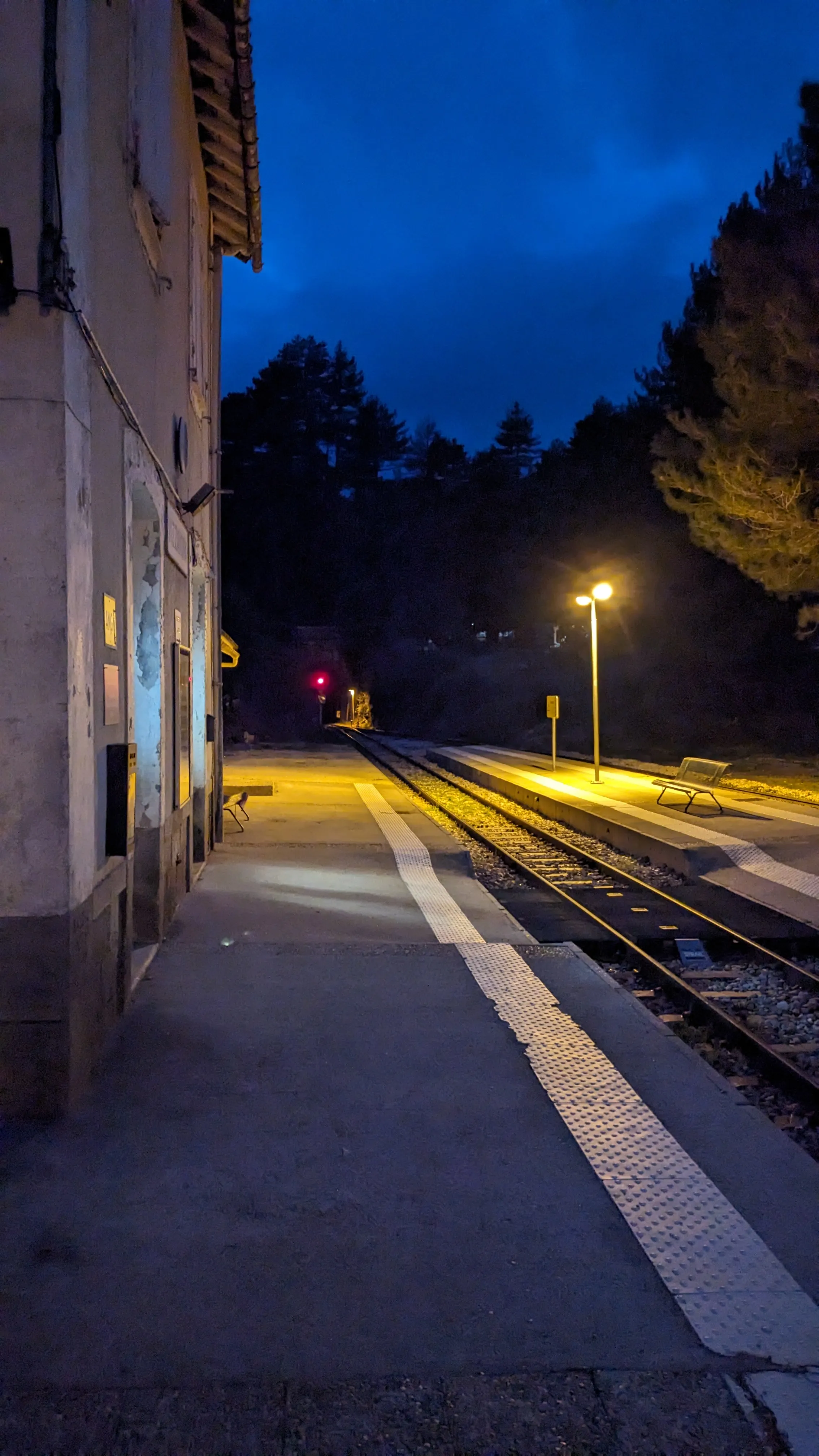
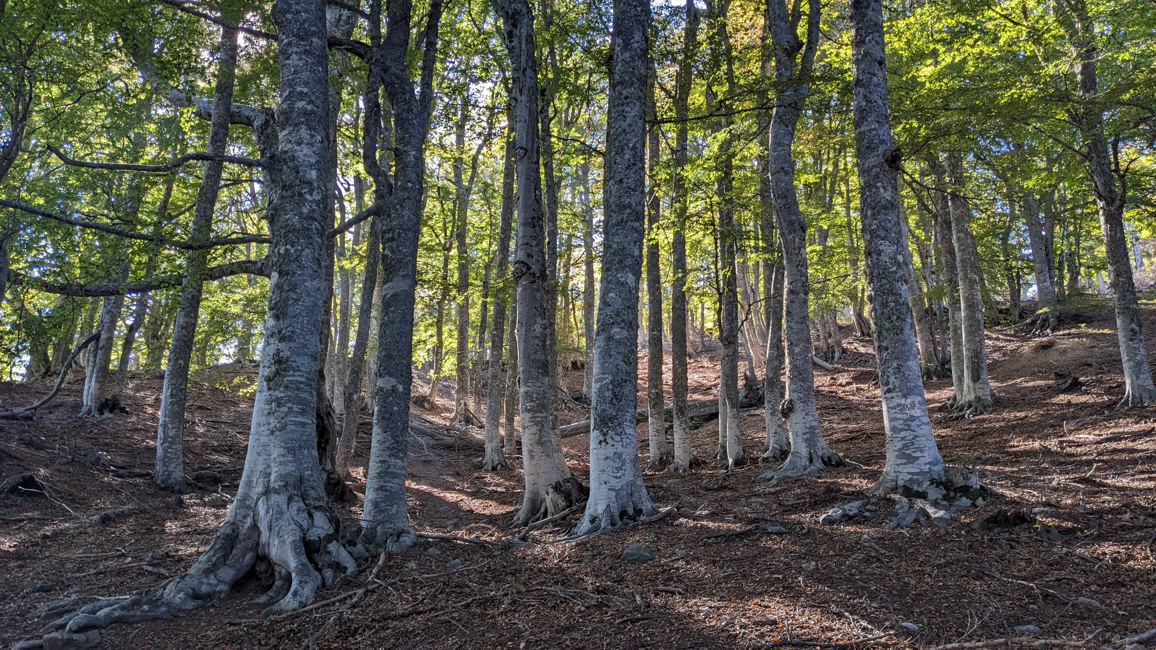
We're below treeline again, so the hike out of Vizzavona is all roots and pine needles. Ample distractions along the way make it easy to ignore the climb, and the rolling hills that follow: Hunters. A collapsed radio tower. Several bergeries. The small Capannelle ski resort. A troop of domesticated pigs walking back home along the trail at the end of the day, single file (we yield to them). We arrive at Col de Verdi, a small mountain resort with cabins and a restaurant. It's all tightly closed up for the season, of course, but we help ourselves to a tent site. At night, as we rinse dishes near the elaborate stone basin of the spring, a truck drives by in the dark with a load of sheep (we think?). The bleating cargo over the rumble of the engine is a startling and disconcerting noise. Spooky movie vibes.
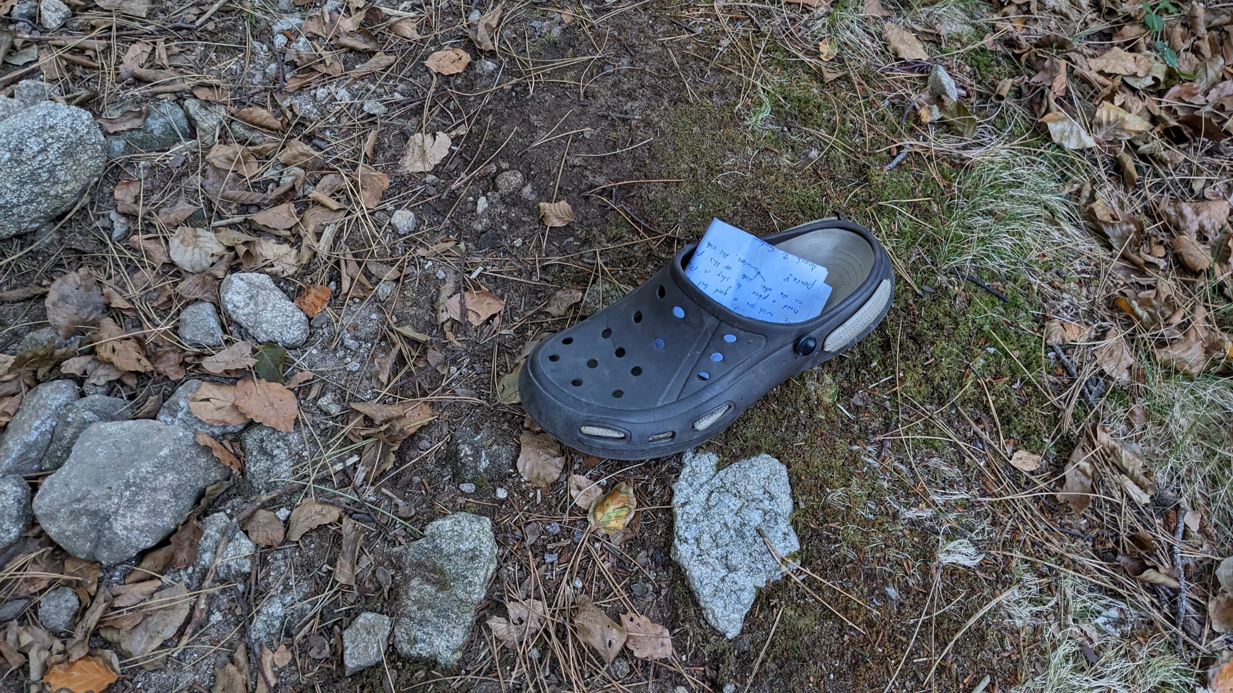
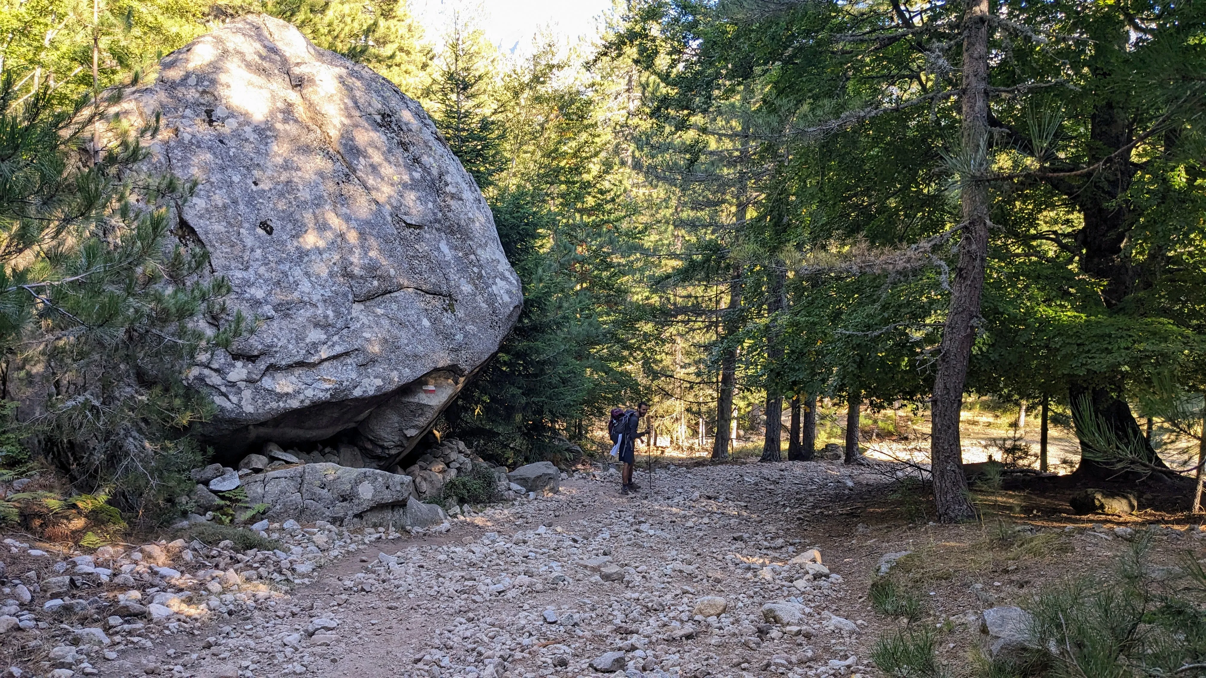
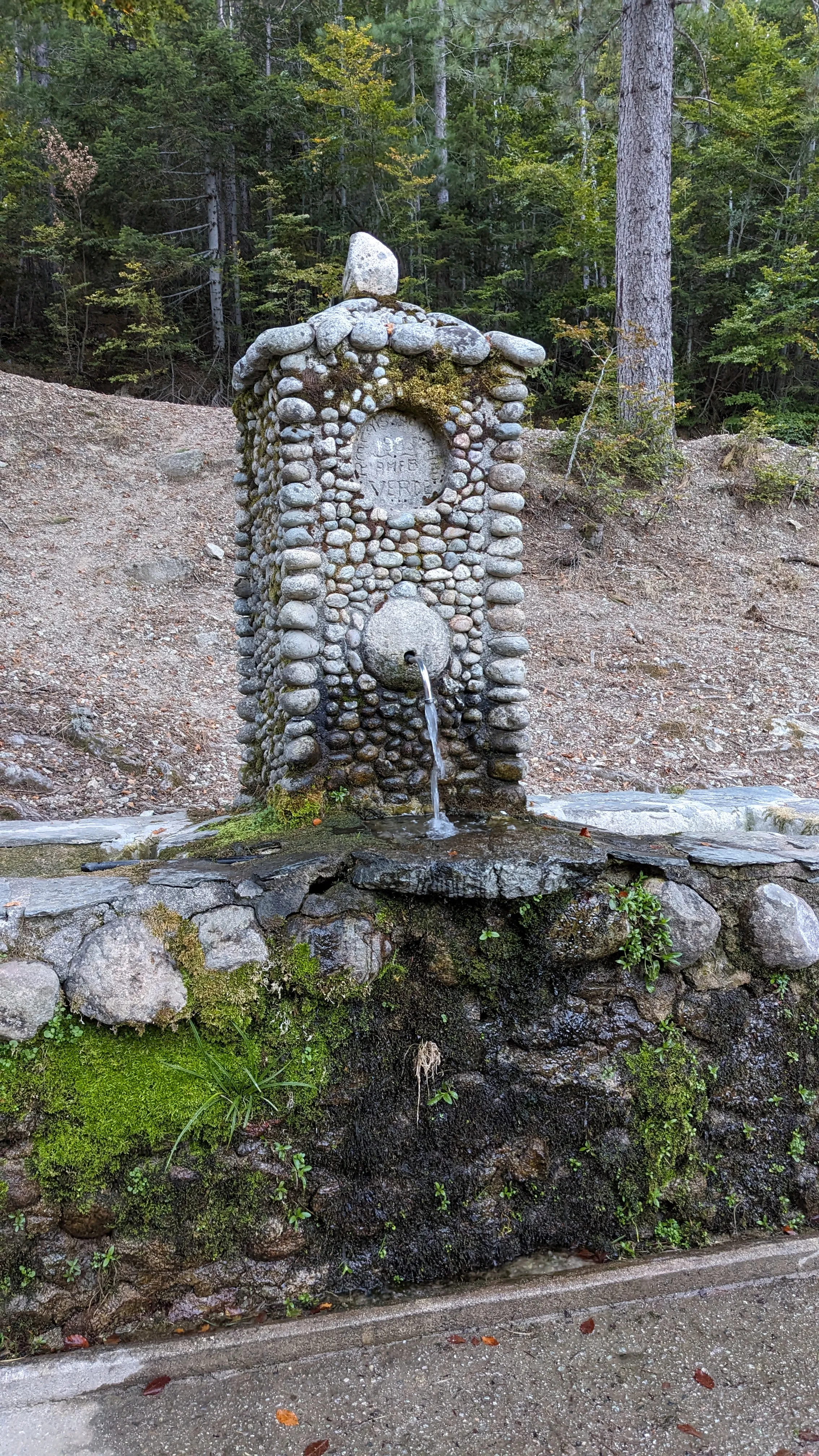
I awake with the looming feeling that the hike is already over, but I try to put it out of mind. We leave Col de Verde and immediately begin a steep climb up a ridge (what else is new?) to the refuge at Prati. It sits in a grassy saddle atop a ridge with expansive views to both the east and west. We can see the Mediterranean Sea on both sides of the island... Wow. I tell myself we should've kept hiking and camped here last night, d'oh! We follow the ridge south, criss-crossing from one side to the other and scrambling across the rocks. It's slow going. Emerson and I distract ourselves from the frustration by joking about a hiking simulator video game that would no doubt be a huge hit (stay tuned). We meet an older gentleman at a lookout point. He is just up for a day hike. We don't understand each other's language, but we have no hesitation in relying on increasingly animated hand gestures and expressions to talk. It's fun and leaves us all smiling.
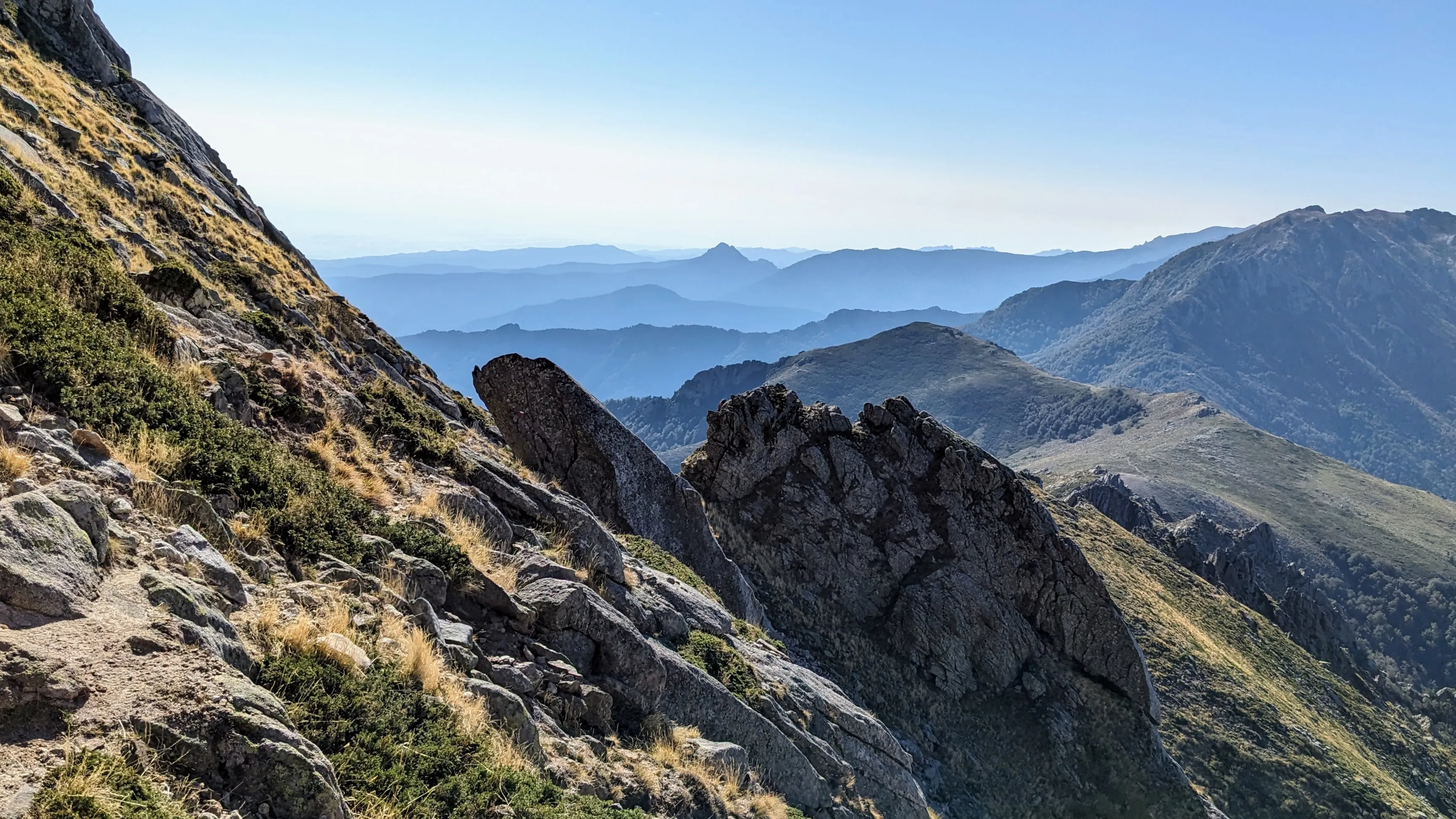
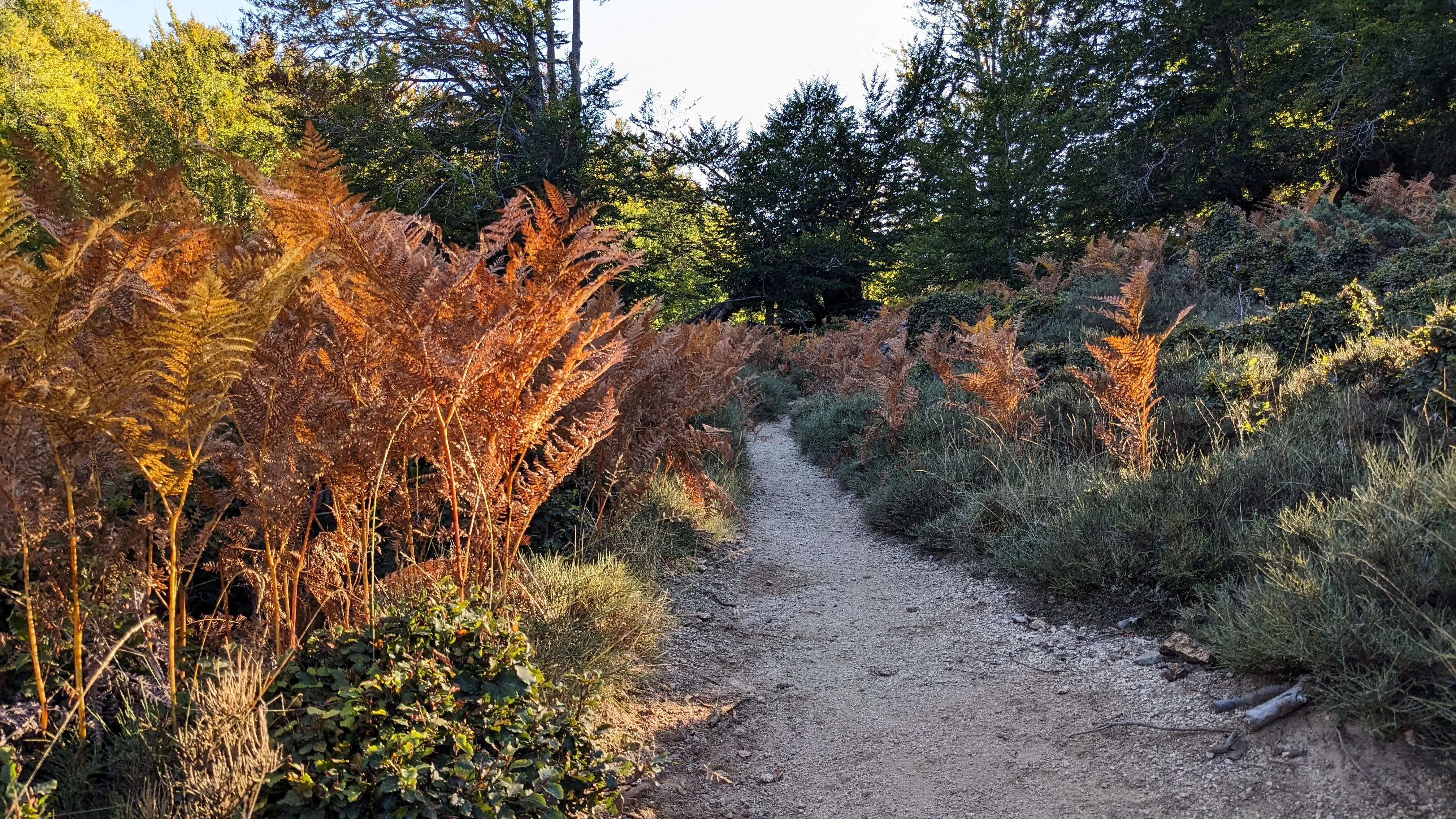
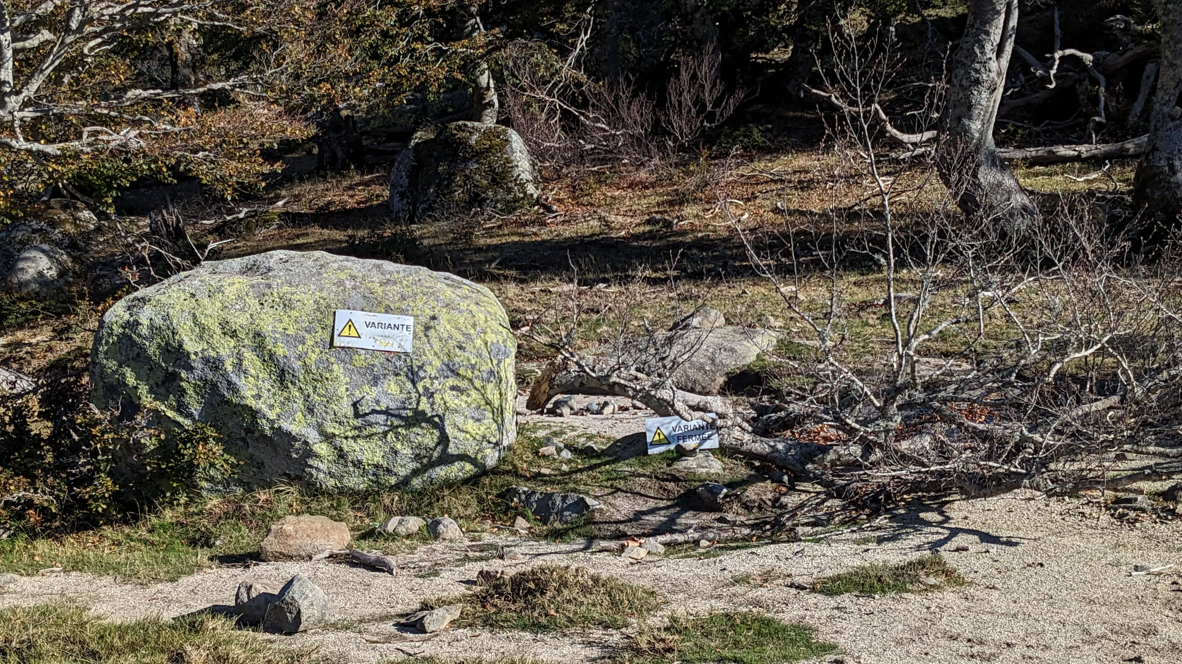
We progress slowly along the knife's edge of a ridge - now it's hot out and I'm a bit annoyed - until the Usciolu refuge. We reach the junction with an alternate trail that will take us directly to the Asinau refuge, only to find it barricaded with deadfall and signage. The alternate route is closed. This will add some miles, and we will have to push on to Matalza, the next refuge, in order to camp. The terrain slowly descends, as we start leaving the mountains for hotter but gentler hills. We wind through a forest and along a small creek with reddening ferns, and then emerge on a small country road for the last few miles to Matalza. Of course, the refuge is closed too. It's being patrolled by an older, slightly grumpy man, who tells us to go to a bergerie an hour away, which I can't find one on the map. We watch suspiciously as he and a friend unload a keg of beer from a small truck and haul it into the refuge, then we continue our road walk. We hike to where the road ends and crosses a sad looking footbridge to get back on the trail - and presumably out of any farmers' fields. It's dusk, so we bivy in a secluded spot, sans tarps. We feel guilty, but with both the variant and the refuge closed our plans have been thoroughly scrambled.
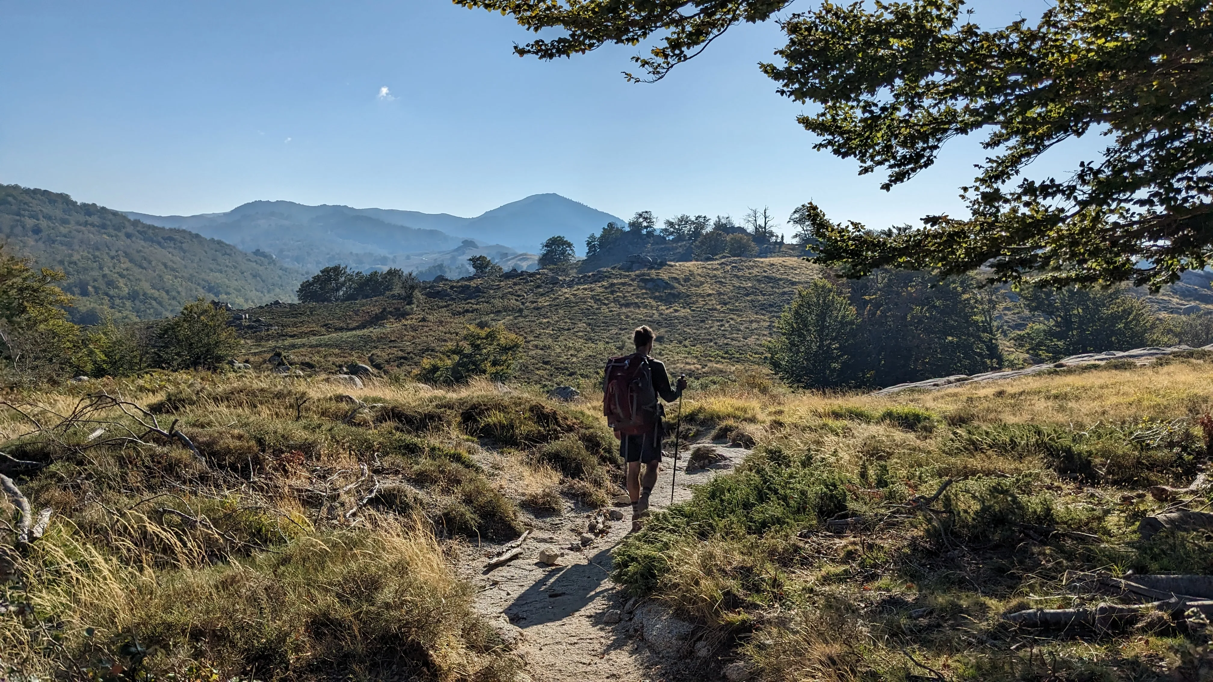
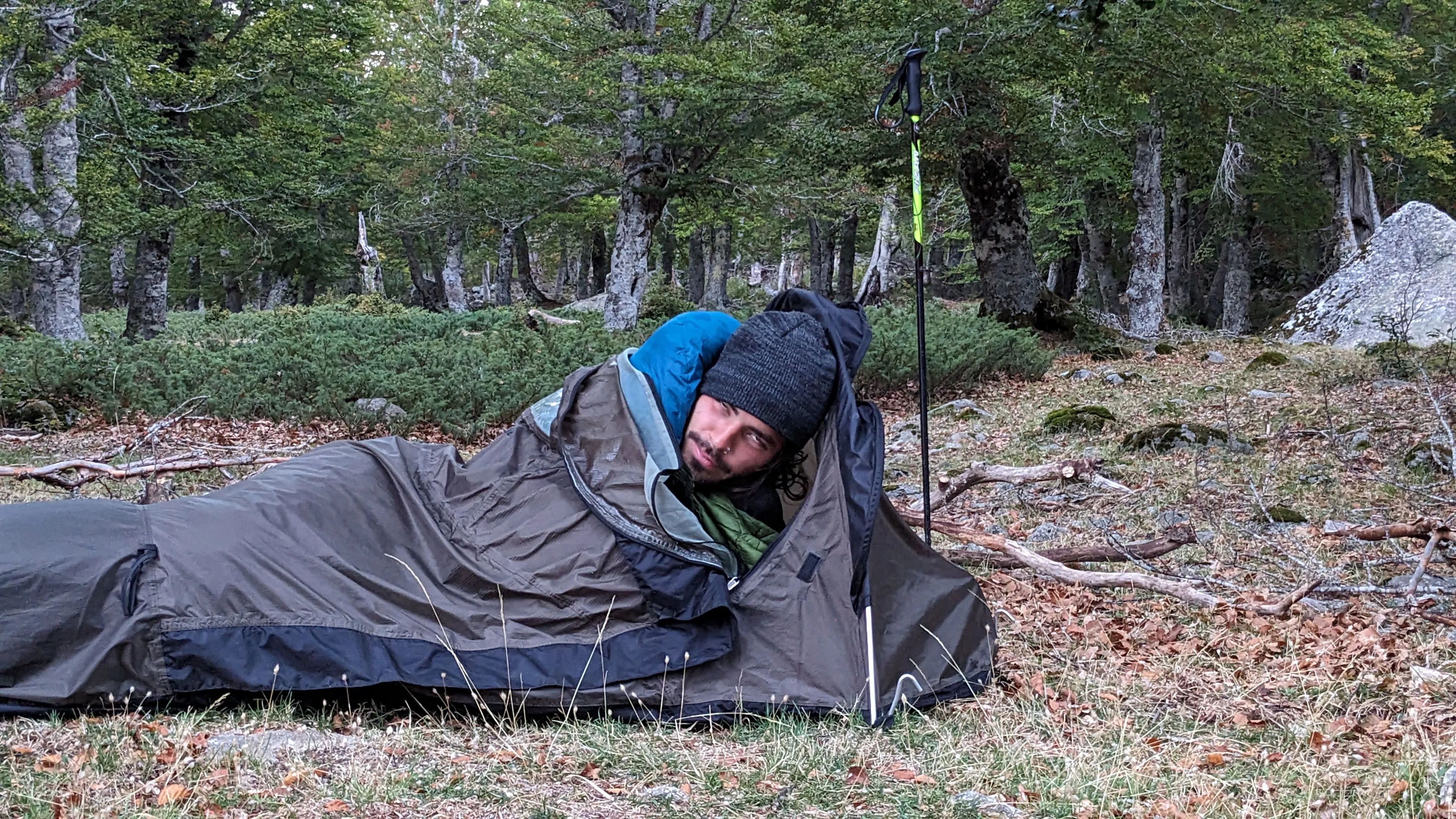
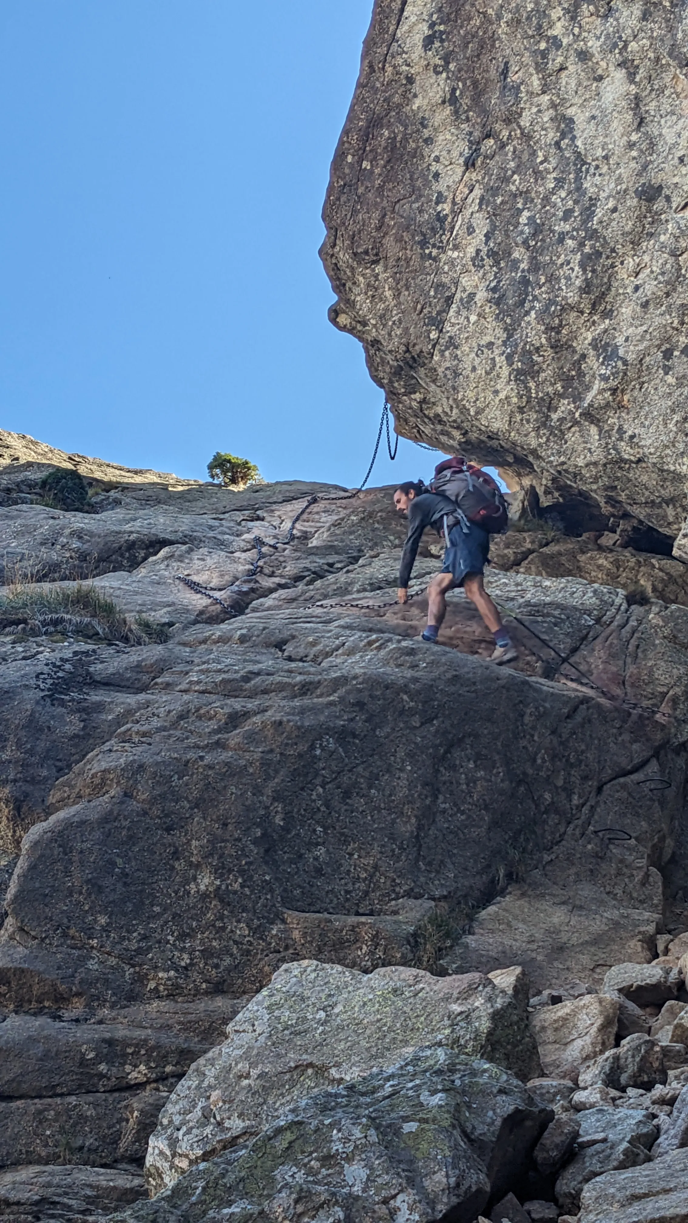
We are accosted by the dew point in the night, perhaps as penance for our wild camping sins. The morning is damp and cold, but Emerson remembers that we have instant coffee remaining. Suddenly all is well. We follow rolling hills through the woods until we emerge on the grassy ridge once again, then climb up to Monte Incudine - a giant exposed rock mound with a cross atop it. The descent to Asinau is loose and steep. As we near the refuge at the bottom of the valley, we pass a German couple out for a day hike, and Emerson strikes up a conversation. After a quick break at the refuge, we continue down the river at the bottom of the valley. There is one last alternate route to try, an alpine variant that stays high before dropping down to Bavella. We decide it will be our last hurrah, and head up. The climbing isn't awful, but the descending is slow and technical, full of chains, some scrambling, and loose rocks. As we near the road, we pass more and more rock climbers, day hikers, and families. It must be the weekend? The trailhead parking lot is gigantic, and filled with adventure vans and tourists. There is a shrine here with a statue to Notre Dame de la Neige - who no doubt protected us against dangers in the mountains, thank you! - that is drawing a lot of the foot traffic. The upshot of the intense tourism is the presence of a real restaurant, which we quickly navigate towards.
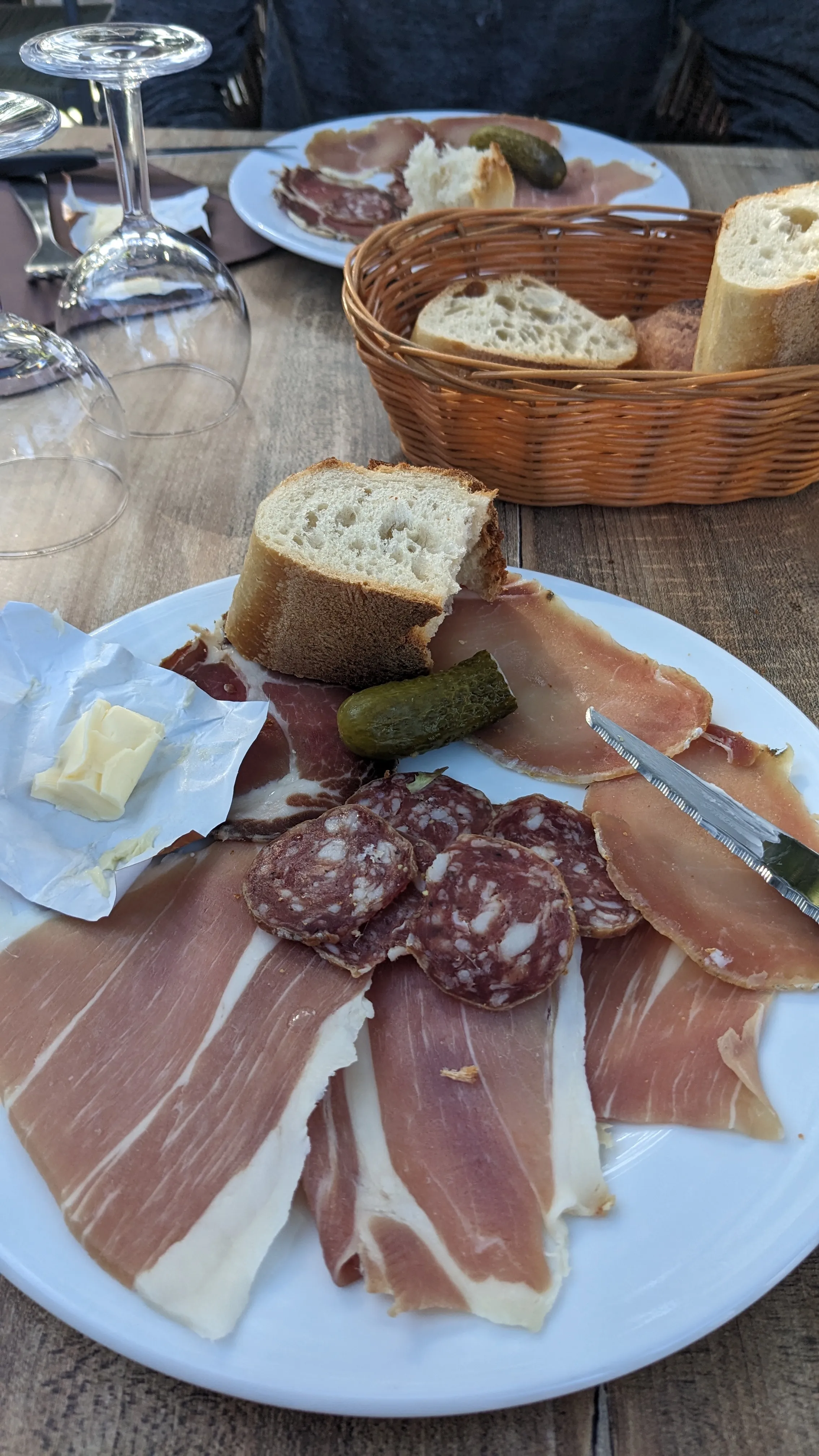
Post-charcuterie (and numerous bread refills of the bread basket), we continue toward the Paliri refuge. It is only two miles away, but the trail passes over a series of ridges that are small enough to be invisible on the topo map, yet steep enough to frustrate me this late in the day. The site has a nice open camping area, with sheer cliffs looming overhead and views of the ocean to the east. We take advantage of the cold shower to clean ourselves and do some laundry. Still full from stuffing ourselves at the restaurant, we skip dinner. We sit across from each other in the dark, enjoying a warm breeze, quietly thinking our own "last-night-on-the-trail" thoughts.
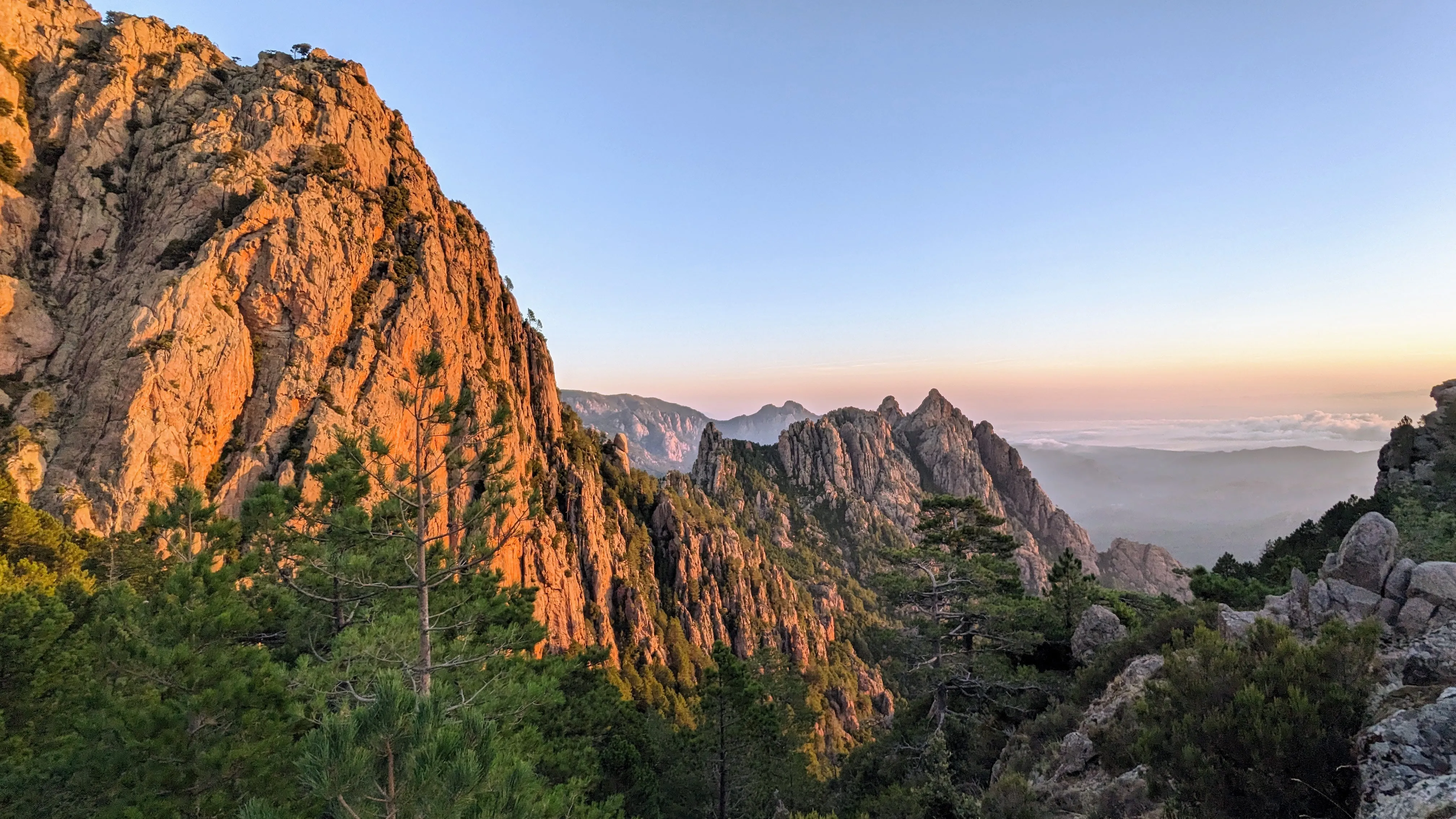
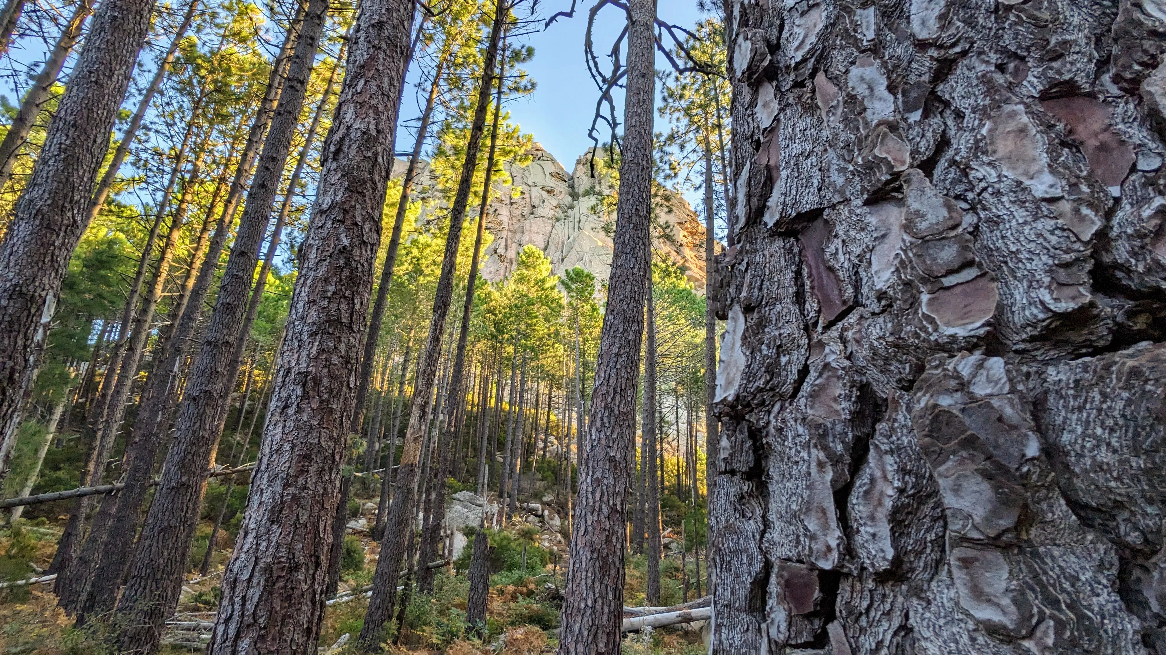
I am roused by the shuffle of footsteps. Other campers are up early to take photos of the sunrise. I try to stifle a laugh as they shuffle around Emerson's bivy sack and he wakes up, publicly bedraggled and confused. The hike from Paliri is a near constant downhill march through a forest that grows increasingly warm and rocky. Though as far as marches go, it could be worse... we pass an entire military troop hiking up the trail as part of an exercise, lugging weapons and huge backpacks of provisions. Several of them look very unwell in the heat. We stop to swim in our final mountain stream and admire the waterfall of Cascade de Punta Pinzuta. The trail throws a few last-minute surprise climbs at us. Suddenly and unceremoniously, we are dumped on the side of the road. A few benches and signs mark the southern terminus of the trail, and the hike is over.
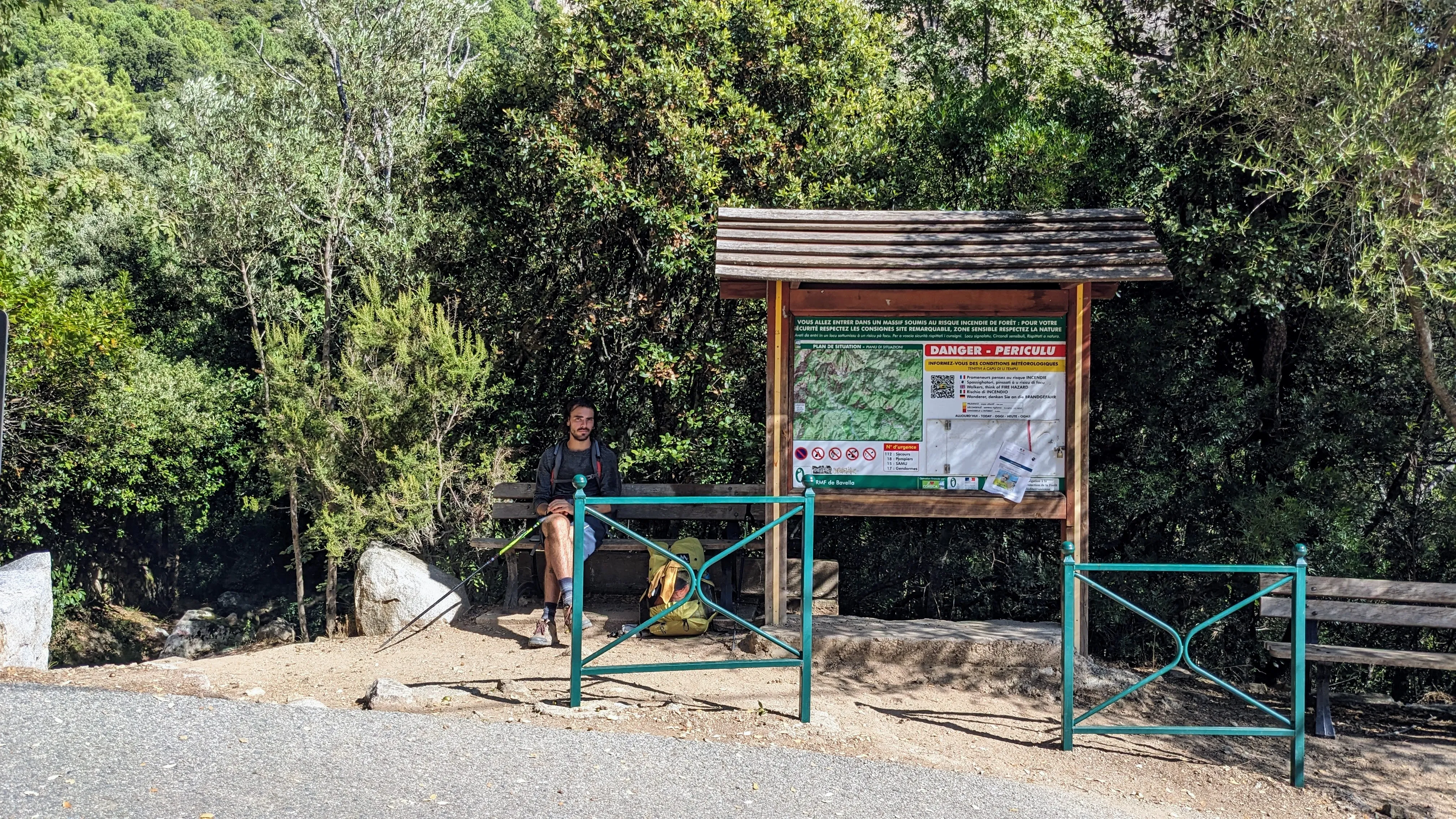
We walk into the village of Conca keen to celebrate, and sneak into a tiny pub just as the owner is about to close. He brings us beers and lets us sit outside as he locks up. We leave our empty glasses in a bin around the corner after he's gone. We roam the streets for a few minutes to admire the town's church, gardens, and curious cats. Porto Vecchio, the nearest big city where we can catch a bus back to Bastia, is still about 20 kilometers away. Unsure what else to do, we stick out our thumbs to hitchhike. Thirty seconds later a couple pulls over and ushers us into the back of their small SUV. An hour later, we're eating pizza in the center of Porto Vecchio and trying to make sense of the swarms of rally cars passing by (note: the famous Tour de Corse was that week).
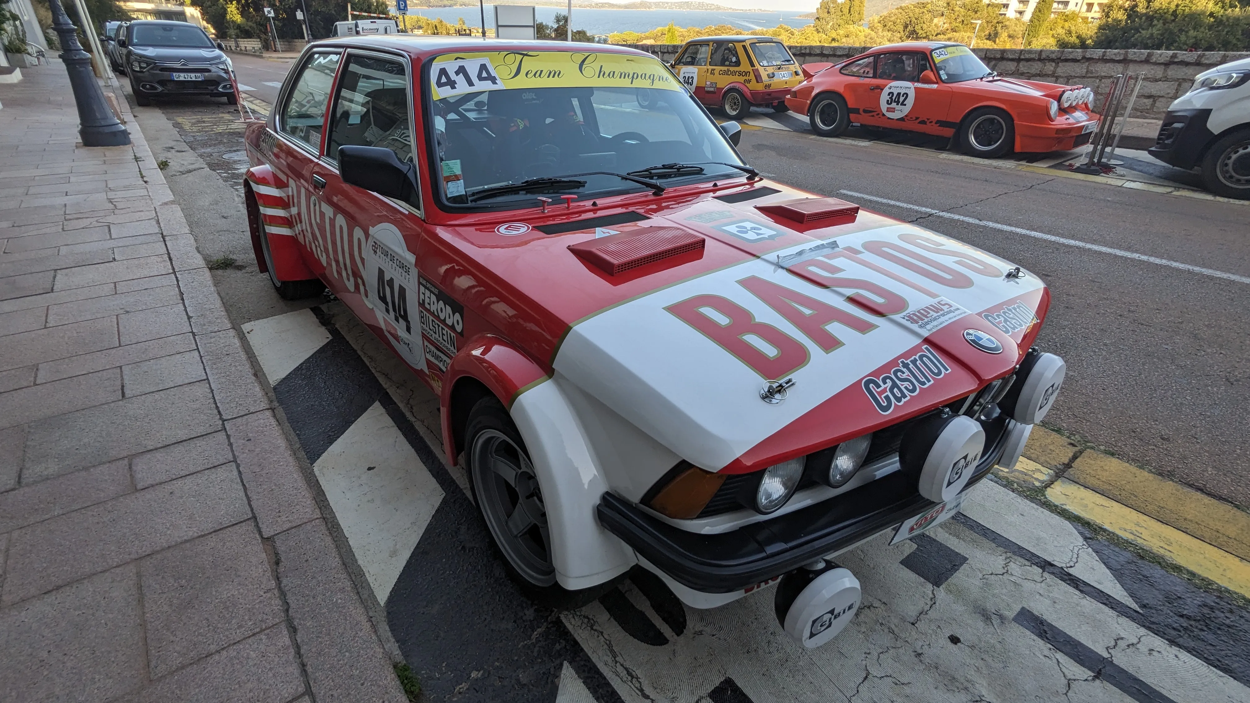
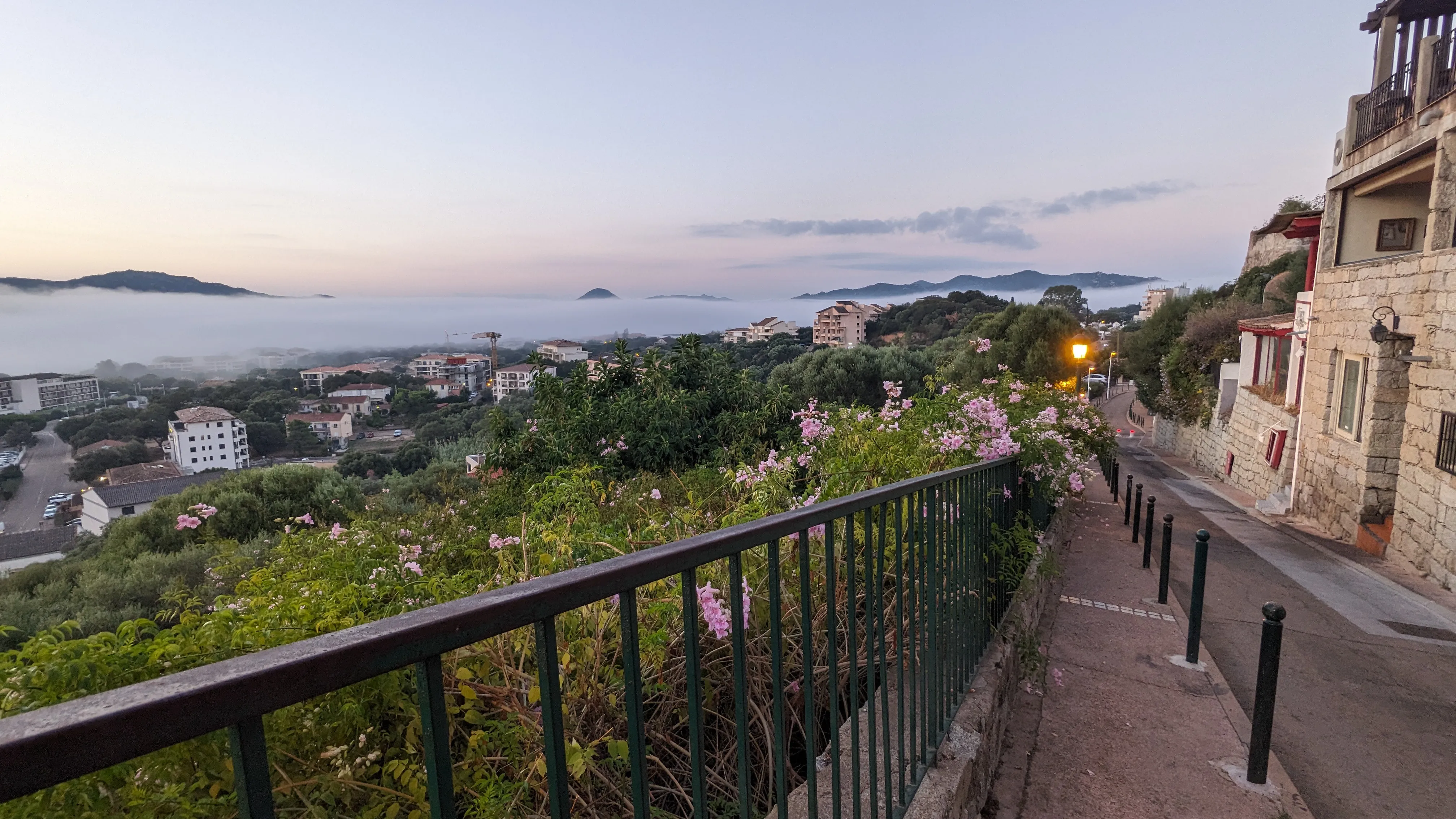
We putter around Porto Vecchio the next morning, obtain souvenirs and gorge ourselves, then catch a bus north, back up the coast to Bastia. The trip ends precisely as it began eleven days ago - with us sitting on the same bench in Place San Nicolas, watching passers by and sipping beers. Then we replay our arrival in reverse: a ferry back to Livorno, the train to Florence, and a bicycle ride through the evening darkness to my brothers' apartment.