Gila Wilderness
Overview
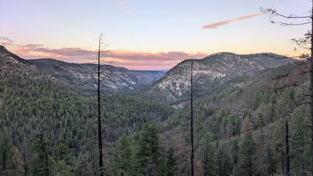
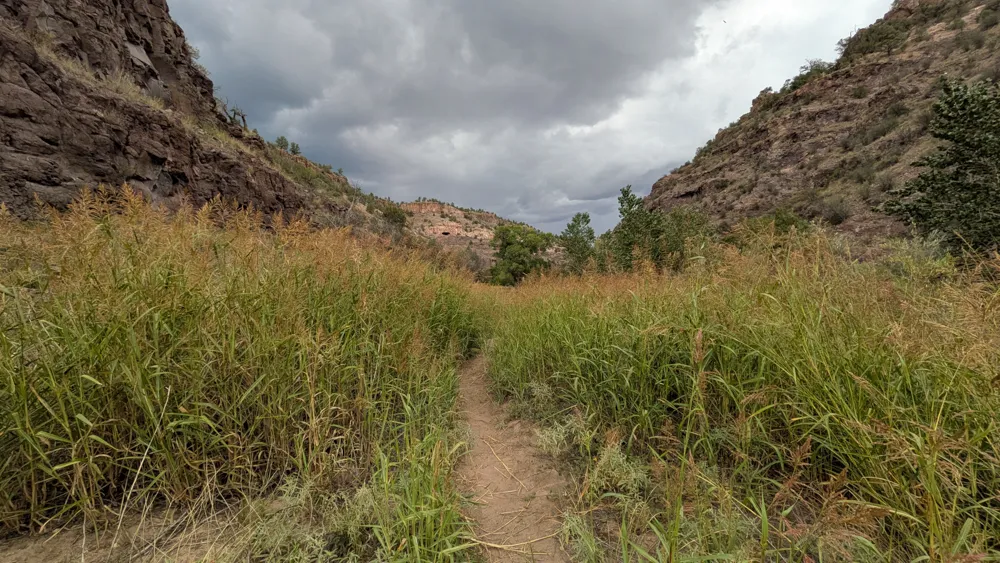
The Gila Wilderness might be my favorite place in New Mexico[1]. It is a vast and remote region in the southwest part of the state with deep river canyons, high peaks, and old growth evergreen forests. It was the first designated wilderness area in the United States - and the world! This trip was a counter-clockwise loop starting and ending at the visitor center. I followed some trails beyond the natural loop formed by the Middle and West Forks of the Gila River in order to explore new areas.
Route GPX: Trailforks
Highlights
- Big cliffs, deep canyons, sprawling meadows, pine needles, solitude
- Getting familiar with new sections of the wilderness
Challenges
- Wet feet from river crossings (no surprise)
- Unknown water availability outside of the Middle Fork and West Fork rivers
- Following damaged or non-existent trails
Trip Story
Day 1
I arrive at 3pm, fill my water bottles and change at the visitor center, and start up the Middle Fork river. About a mile in I meet a large group of kids, maybe scouts, and a girl warns me about two rattlesnakes up the trail. I don't make it that far before it starts to sprinkle. I fuss with my poncho tarp and by the time I've got it situated, the rain is really coming down. I take Trail 27 up toward White Rocks, and it's like hiking in a small stream. Water cascades down the middle of the rough trail and my shoes are soaked in a few moments.
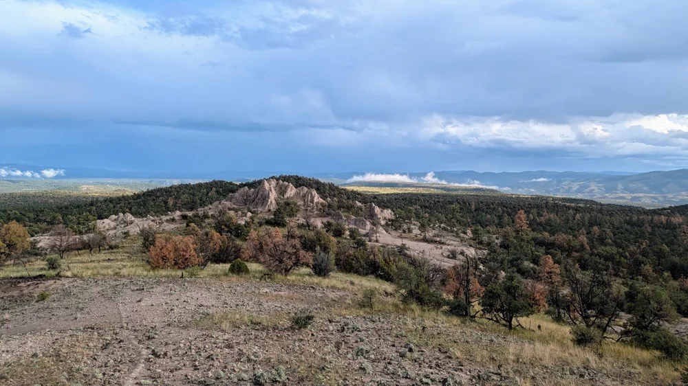
Thunder and lightning get louder and more frequent, and the rain turns to hail. Several verrrry loud thunderclaps have me contemplate whether to turn around and book it back to the car, but I realize hiking along the river in heavy rain is a very bad idea. After about an hour the rain begins to taper off. The trail is still muddy and slippery and filled with standing water, but the storm is slowly abating. Another hour and the sun is out. A slight breeze helps to dry things out a little. I resist using all of the daylight to hike, and find a nice campsite near the striking exposed rock formation of White Rocks. I am trying to be better about exchanging some miles for scenery and quality of life. Dry clothes, mac and cheese, and suddenly the night sky is clear and full of more stars than I've seen since the eclipse in Mexico. Last summer here? I fuss with the best way to situate myself and gear in the tarp (gear at the back). Off to bed at 9 PM.
Sleepytime thoughts:
- Big jackrabbits on the mesa
- Why didn't I bring any tea or hot chocolate or coffee?!
- Test how hard it is to put a stake into the ground before committing to a tent location!
Day 2
Lots of condensation inside the tarp last night, so I awake to a drippy, saggy pitch. My inflatable pillow has gone totally flat and won't hold air. Things are slowly drying out but the morning is still overcast. I scramble up to the top of the white rocks to take some pictures, then eat breakfast and hit the trail. It's still plenty muddy in places, but this eventually gives way to a mesa that's covered in small, sharp rocks. So I have to watch my footing all morning, for one reason or another. Better drainage at least.
The trail fades away and becomes hard to follow as it goes through an old corral, so I shamelessly GPS my way back to it. Along the way I see a few more areas of exposed eroding rock, similar to White Rocks. I stop in Jordan Canyon for a snack and to dry out the tent. Take a slight detour a few miles later to Cassidy Spring to check the flow. The trail back is totally missing so I pick my way through trees and shrubs. Sam Martin spring is also just a small muddy pool. It turns out the spring near the trailhead at County Road 23 is on private property, so that's a no-go.
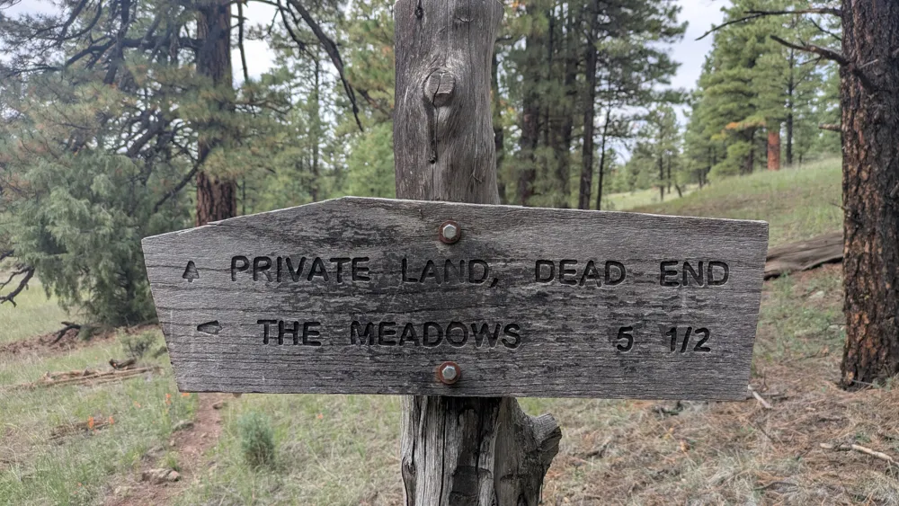
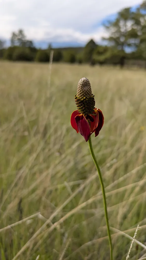
I continue on Homestead Trail, which is really pretty, although there is still no water. I stop for a quick lunch and eat some peanut butter, which proves to be a poor snack choice without anything to wash it down. A storm rumbles in the distance, threatening, but never materializes. A flock of sparrows, chirping and fluttering, swoop by and all simultaneously alight in a small tree to hide from the encroaching wind and thunder just as I walk by. It's a small but beautifully synchronized moment. Finally the trail drops and I glimpse a view of the Middle Fork river from above, carving its way through the hills.
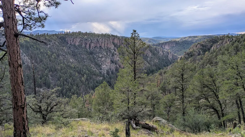
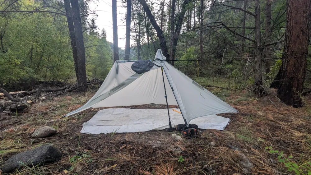
I head upstream a mile and a half, finally getting my shoes wet at the end of the day. Every time I approach the water's edge I am greeted by the "plop plop plop" of basking frogs jumping into the river as they flee my footsteps. I take a side trail up Canyon Creek for a few minutes. It's a small tributary and the water is clearer because there are no beaver dams, nor as much sediment from the rains. I finally purify some water as I set up the tent and drink almost two liters. Yikes. I text Mom and Leah, eat mashed potatoes with veggies and tuna, and head to bed.
Evening thoughts:
- Deer and a great egret by the river
- Bluebirds in the woods
- Something big is dislodging rocks from the canyon walls in the dark
Day 3
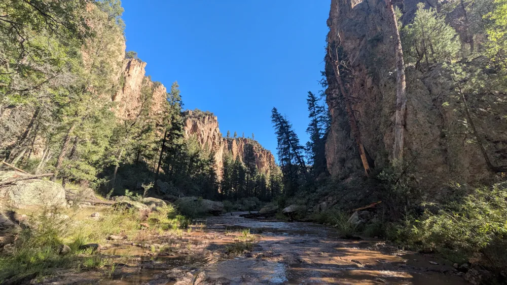
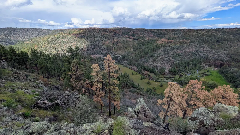
My progress up the Middle Fork is slow. It requires plenty of stopping to find the best place to cross the river, bushwhack, and take photos of course. My feet are slowly blistering (it's day 3, they've been wet since the start) and my shoes are muddy. Flying V Canyon is beautiful... a giant wide floodplain covered in tall grass and a smattering of giant trees. A thunder shower rolls through but only lasts for a half-hour. I stop at Clayton Creek junction to filter water and make a plan. I'll have to carry five liters since who knows when the next source is. I spook another egret. I head up Iron Creek Mesa - I hiked this section years ago and couldn't find the trail at all. Now it's obvious. Huh. The view of the Clayton/Middle Fork/Iron Creek junction and the open fields below is incredible.
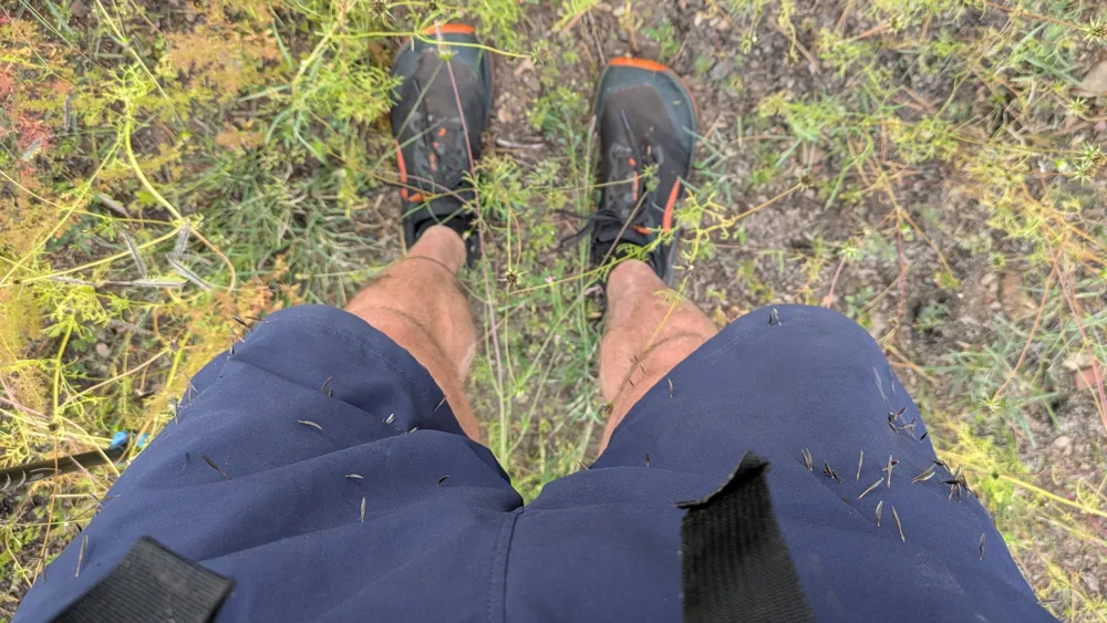
The trail is a long gradual uphill toward the western head of the mesa. I'm getting tired. I'm also getting assaulted by hordes of dead wild cosmos, whose seeds poke me at every step (note to self: come back when they're blooming!). I try to tough it out, then I give up and change into pants for a little leg protection.
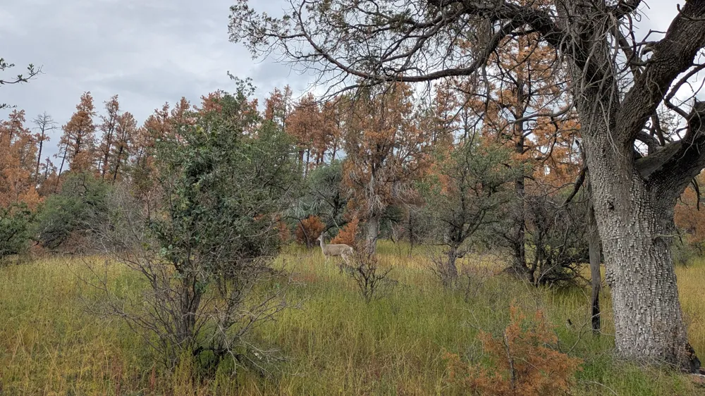
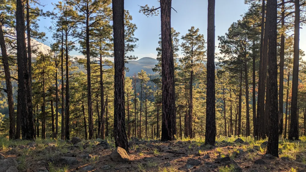
Pointy flowers aside, the mesa is a pleasant place. It's effectively one giant meadow full of big old trees that survived a fire, from the looks of it. I spot a couple of deer, and one doesn't run off, so I get a photo. My feet are hurting and I'm losing steam. I check the GPS, then hike for what feels like an hour, but the dot has hardly moved. Not a good sign for the rest of the weekend. I persevere and stop at a campsite atop the west end of Iron Creek mesa, with views of the mountains, 180 degrees to the west and south. I have arrived at camp with light to spare, so I hobble around in my camp shoes and take some photos. Rice tuna veggie bomb. Bed at 8:30.
Day 4
I'm the morning I head down to Iron Lake, which is just a big mud patch now, then decide to go the extra mile to the end of the trail at Willow Creek Trailhead. I use the pit bathroom, get clean running water at the creek and have a nice chat with a lady who is camped out with her five dogs at the corral, just enjoying the woods. The detour adds some miles but it is nice to check out the trailhead. And technically now I've hiked all the way across the wilderness area, south to north, from the visitor center. Based on the time and unknown water and condition of the crest trail, and some intermittent foot pain, I opt not to hike the ridge to Whitewater Baldy. This is a bummer, since it was one of my goals for the trip, but it's the right decision. Instead I hike down Cooper Canyon, which is full of rushing water and great camp spots and then up Trail 151 toward Turkeyfeather Pass.
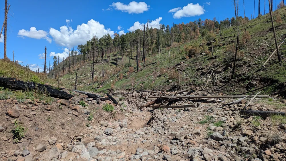
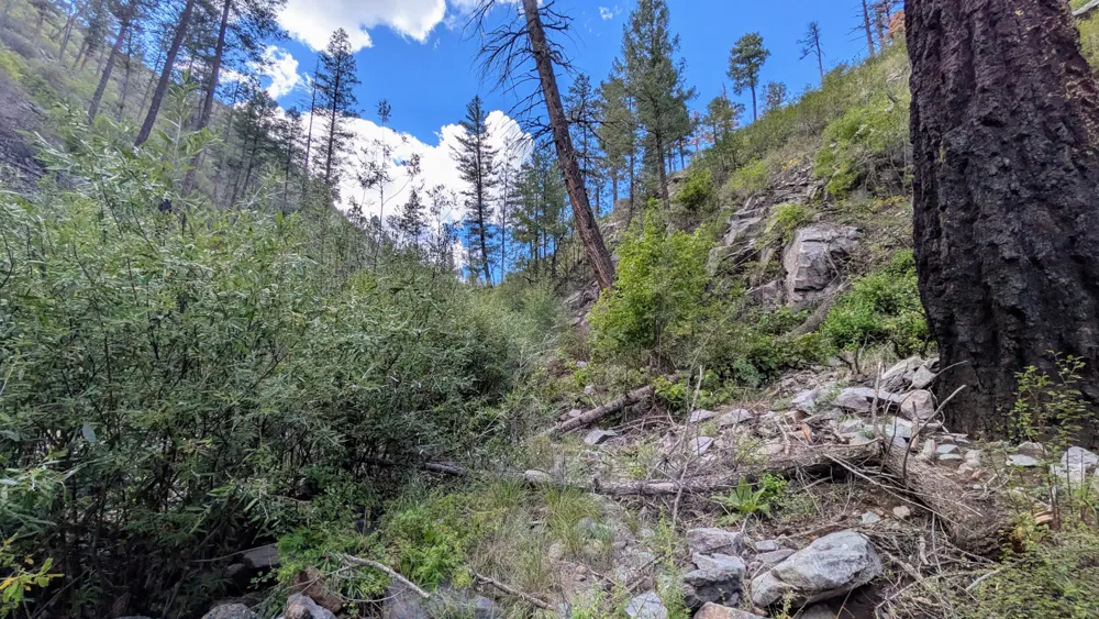
After severe flooding this is now a bare, hot, rocky canyon filled with an impressive amount of debris. The pass is a vast open meadow with trails coming in from all directions, but it's unmarked and unmaintained. Simultaneously impressive yet abandoned. I wander south until I see the Trail 151 start to reemerge. This section is also severely damaged[2], but I've taken it before and it's the most direct route to the West Fork. Heading south from Turkeyfeather pass, the trail gradually narrows and deepens until the gentle pine forest gives way to steep rock walls. The small canyon is filled with dense piles of dead trees and rocks, leaving minimal room to maneuver or find a good route downstream. Somehow in the midst of all this, an intact stone wall built by the Civilian Conservation Corps during the 1930s still stands, in stark contrast to the rest of the destroyed trail.
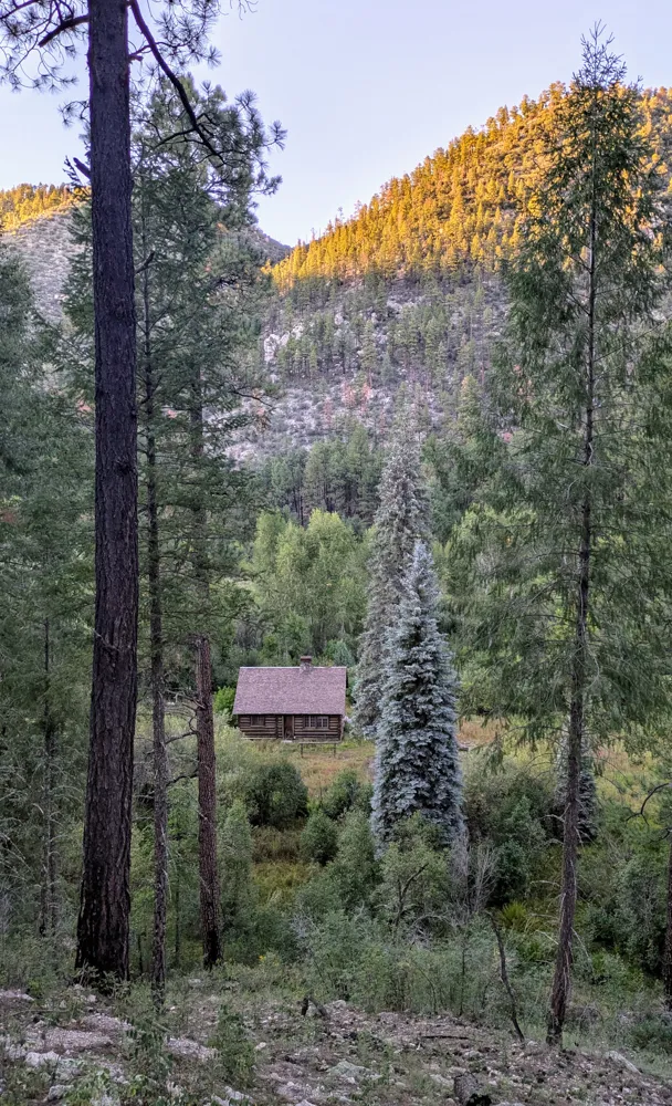
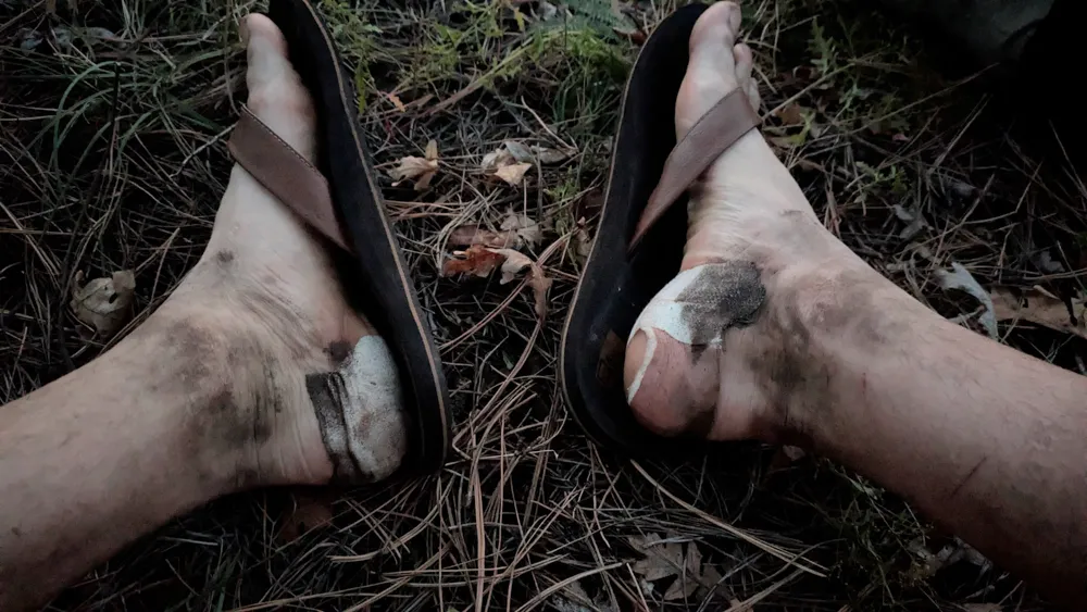
The trail follows the Middle Fork for a minute then climbs again, away from the river and up a permanent reroute through Jackass Park. I start jogging in order to make up some time. Meet another hiker at White Creek, but I'm tired and my conversation skills are suffering. I'm tempted to camp here at White Creek flats, since it's a perfect camp spot, only a stone's throw from water. But I decide to head up toward McKenna Park with the remaining light. Fewer miles tomorrow, right? I get to the top of the hill and set up camp in a beautiful ponderosa forest just as it gets dark. I hear lots of coyotes, very loud and very close, and try not to worry. My feet held up great today until the last couple of hours, now I am faced with a lot of blister maintenance to do. This was a long, sometimes frustrating day with a lot of off-trail hiking. Exactly what I asked for, I suppose!
Day 5
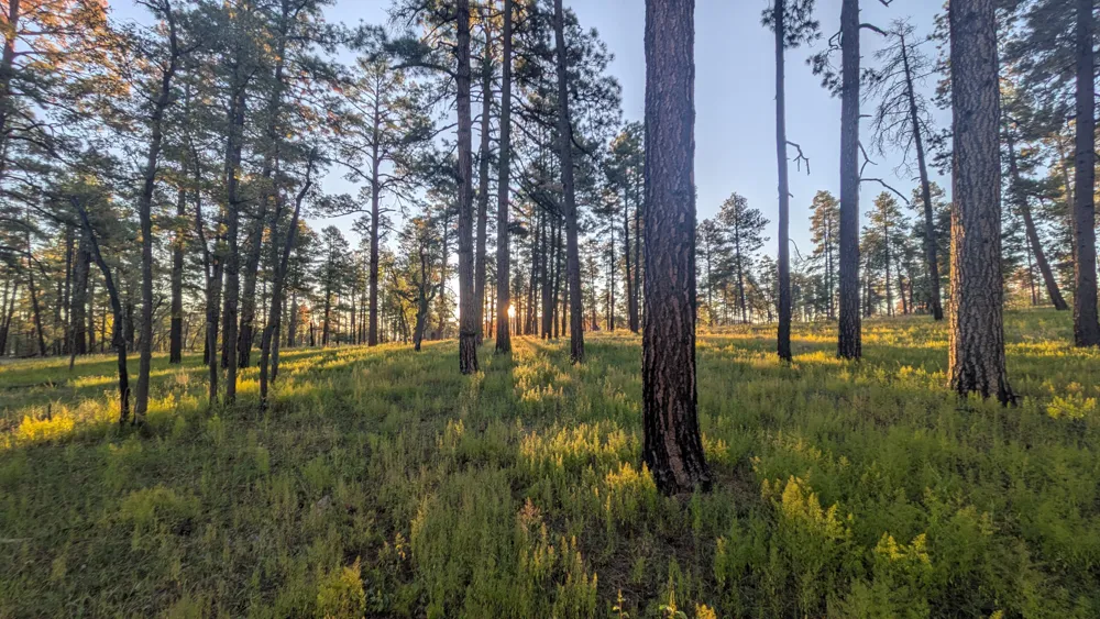
I start the day off immediately with a mile or so of off-trail fussing (where the heck is Horse Springs anyway?) until I finally stumble into McKenna park. It is vast and beautiful, very gently rolling hills with ponderosa everywhere and grass below, densely shaded, this would be paradise if there was just a little water somewhere. Glad I finally made it here after several trips to the Gila... always wondered what this spot was like.
My phone is nearing the end of its battery life and I forgot to bring a power bank. So I try to commit remaining trail maps to memory (I know, I know, bring paper maps) and check the GPS very sparingly. The trail for the next five miles is freshly cleared and developed, which is a blessing. Eventually it drops into a canyon and becomes hot, then winds around the contours until it meets up with Ring Canyon Trail. This one is a little tricky at first but becomes more established. It gets quite monotonous, just winding along a ridge for the last five miles, exposed to the hot sun. The highlight is seeing a giant wasp (Tarantula Hawk?) buzzing by. I find a lot of junk on this trail: cord, beer cans, plastic wrap, and even someone's iPhone. I jog some more, just to hurry things along. I take a break on the side of the trail to wait for a couple of horseback riders to pass, and one of the horses gets spooked. I hear the guide say "they really didn't like that guy", which puts me in a sour mood. I finish up the last few miles, dropping down into Woody's Corral Trailhead. I make sure to take the mystery shortcut trail connecting the road from the cliff dwellings and the visitor center. Of course it has three more water crossings. I remove my shoes (not getting wet this time!) and hobble the last quarter mile to the car in my flip flops. On my way in to the visitor center I almost trip over an enormous yellow, gold, and black snake that's lounging on the concrete stairs. Maybe a bull snake? The most spectacular wildlife of the trip is in the parking lot, and my phone is dead. Of course.
Notes
- [1] honorable mentions: Horseman's Haven, Angel Fire Bike Park
- [2] Check the Gila Trails Info site for up-to-date info on trail conditions and water sources. Contribute water reports after your hike is over to help future hikers plan!