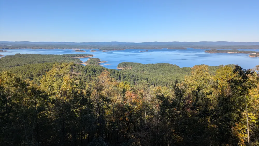
Lake Ouachita Loop
Overview
I followed the Ouachita Triple Crown bikepacking route on this trip, because I am usually too lazy to plan my own routes. There is an official OTCR race that uses the same route. Conveniently and unwittingly, I rode the route one week before the race and benefitted from preparatory trail maintenance!Highlights
- Flowy Womble + LOViT sections are a blast to ride
- Quiet forests, rolling hills, beautiful views. Easy to forget you're never too far from civilization
- Wildlife: deer, turkeys, owls, and tarantulas!
- Lake Ouachita State Park and campground
Challenges
- Ouachita Trail segment is more of a hiking trail than a biking trail. Parts are a little overgrown, narrow, rocky, or steep
- Lots of short, punchy climbs throughout - the elevation profile is deceptive!

Trip Story
Day 1
I camped at the quaint Edendell campground in Oden. The hosts there were very kind and communicative even though I arrived late, and they gave me an alternative spot to camp up on the hill, since the ground was muddy in some places from recent rain. In keeping with the theme, it rained all night, which meant pretty fog - and a soaking tent - in the morning.
I eat breakfast at Mt Ida Cafe, then drive to the Womble trailhead at North Fork Lake. As I'm unpacking, another cyclist rides in to the parking lot. He rode 15 miles up the trail before deciding the terrain was too rugged (ahem, foreshadowing) for the narrow tires and rigid frame of his gravel bike, so he turned around. I pack my bike and leave my wet tent strewn all over the inside of the car to dry out.
After starting with a couple of small rooty climbs and creek crossings, the Womble becomes relatively fast bench cut, but still with a few climbs. It's late fall and the ground is covered with wet leaves, which adds some challenge. Wheels slip, and rocks and sticks hide beneath the blanket of decaying foliage. I stop every so often to pull a buzzing leaf or small branch out of my chainstays. This trend gets annoying; unfortunately it will continue for 75 miles or so.
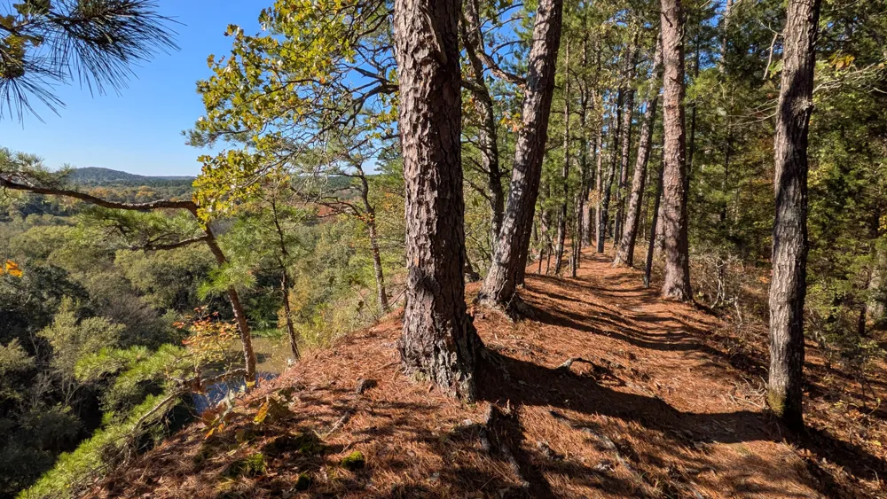
The Womble has nice views of the Ouachita River from atop steep, high bluffs. The last third of this section starts to climb, and gives me a taste of what's to come with the first of many hike-a-bike sections. Just after the intersection with the Ouachita Trail, I run out of daylight and hastily clear out a cramped, rocky, slightly sloping campsite.
Day 2
I toss and turn all night but made up for it by sleeping in until 8:00. Dry night. No condensation makes packing up easier. But not faster, somehow. I meet a local couple hiking and they tell me about Eagle Rock Trail in Mena, which they recommend highly. I won't have time for it on this road trip, but I file it away (here) for the future. I cross Highway 27 and start along the main ridge of the Ouachita Trail that runs west-to-east along the north side of the lake. It gets frustrating quickly. Every climb seems just a little out of reach, for one reason or another. Sometimes too steep, or too chunky trail, or overgrown with brambles, or I am constantly hopping off to navigate around downed branches and trees. It is hard to get any flow, up or down. Something is always interrupting, but the precious brief downhills keep me going.
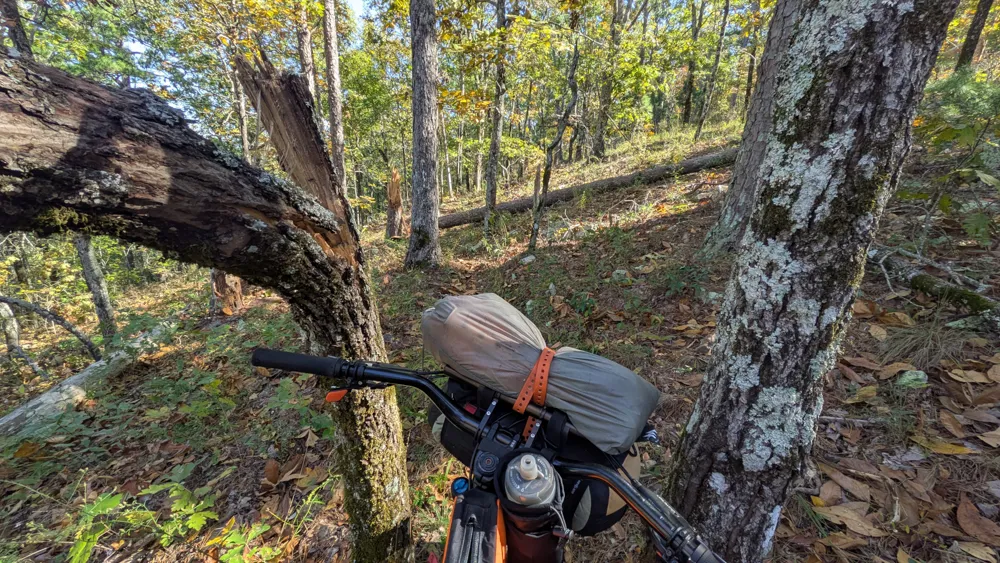
I meet a backpacker from Colorado and we chat for a few moments. He is hiking the entire Ouachita Trail, from Oklahoma to Little Rock. In my mind, this sounds marginally more pleasant than biking, until he mentions sleeping in a campground bathroom to get out of last week's torrential rain.
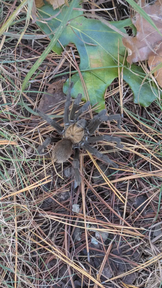
Several tarantulas hustle to get off the trail as my bike rolls through. I had no idea this was their habitat! I don't spend enough time in southern New Mexico, so this was my first time seeing them in the wild. Neat.
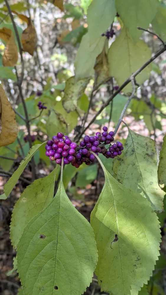
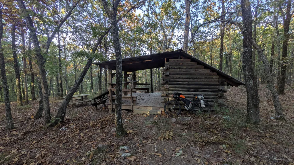
I'm also noticing an abundance of small, vibrant purple berries everywhere (note: these are American beautyberry. Edible but tart/astringent. Crushed leaves are supposedly a natural insect repellent). The trail finally relents, turning into a long, mostly uninterrupted downhill to Highway 298. North Fork Creek crosses underneath the road, and is the last reliable water source for 20 miles. I fill up, and finish the day with a climb up to Blue Mountain. I am tempted to try to continue and make it to Big Bear shelter by dark, but I know better - I never would've made it! The shelters on the OT are simple and clean lean-tos. There is a spring nearby, but it is very tiny and murky... definitely the least enticing water source of the trip. Giant portions of couscous and mashed potatoes for dinner.
Day 3
I hear a big animal in the night, rustling nearby. I also notice how starkly quiet it is in the mornings here. No road noise yet, no leaves rustling, no birds. I save time packing up (no tent!) but then waste that time pumping up my rear tire again. There are a few nice views approaching the Ouachita Pinnacle, with small lookouts along the trail. There is also a strange down-then-back-up reroute that consists of sharp staircase-like rocks, which deflate (burp?) my rear tire in a hurry. I pump it back up it a few times, but it doesn't fully hold until I stop at Big Bear later in the day to add sealant.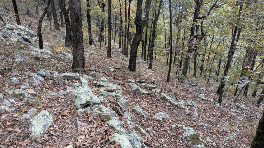
The Ouachita Pinnacle summit is a bit underwhelming, featuring a gradually sloping peak and a telecom tower. There isn't a great viewpoint, ironically - only what is afforded by the clear-cut power line corridor to the south. There is a man car camping, and he notices me and offers me water before I even got a word out to greet him. People here are friendly.
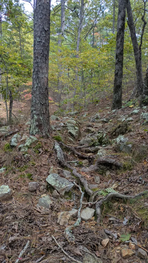
I hastily bounce down the rocky double track toward Big Bear shelter. I'm too focused on my tire that is slowly leaking air, and I miss a turn off of the doubletrack. The OT route follows the contour of the mountain, but I just go straight down the fall line. After walking down steep, rocky doubletrack, I am excited at the relatively flowy bottom section - only to realize I am a half-mile off trail and have to turn around and retrace my steps. So I get to hike-a-bike it again, this time going uphill! Bathroom break and flat repair at Big Bear. Pro tip: you can use a pine needle to draw sealant into the valve stem when pouring from a bottle. The liquid will stick to the surface and flow down it. Physics at work! I startle a flock of huge wild turkeys into the air. They are enormous. The last few miles to Old Brushy Mountain road are pretty rocky and rooty, but the downhill makes this easy to forgive.
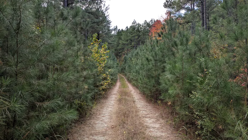
Finally on a dirt road! I zoom south toward the lake, stopping for a few minutes to sort out an unexpected detour on pavement around private property (see this comment). There are a few short but tough climbs on backwoods doubletrack, then I arrive at Lake Ouachita State Park. What a treat! It's big and pristine, with lots of sites, filled mostly with cars and RVs. People are here setting up camp for the weekend, hoisting banners with the American flag, family names, and military seals at the end of their site "driveways". I get the last walk-in site and take advantage of the facilities. The campground has private bathrooms with a shower in each one, which is absolutely incredible. I didn't pack a towel, so I dry off using my bandana and by cleverly angling the high powered air dryer at my various body parts. I watch the sunset over the lake, and then I watch another camper watching it. He runs back to get his phone to take pictures.
Day 4
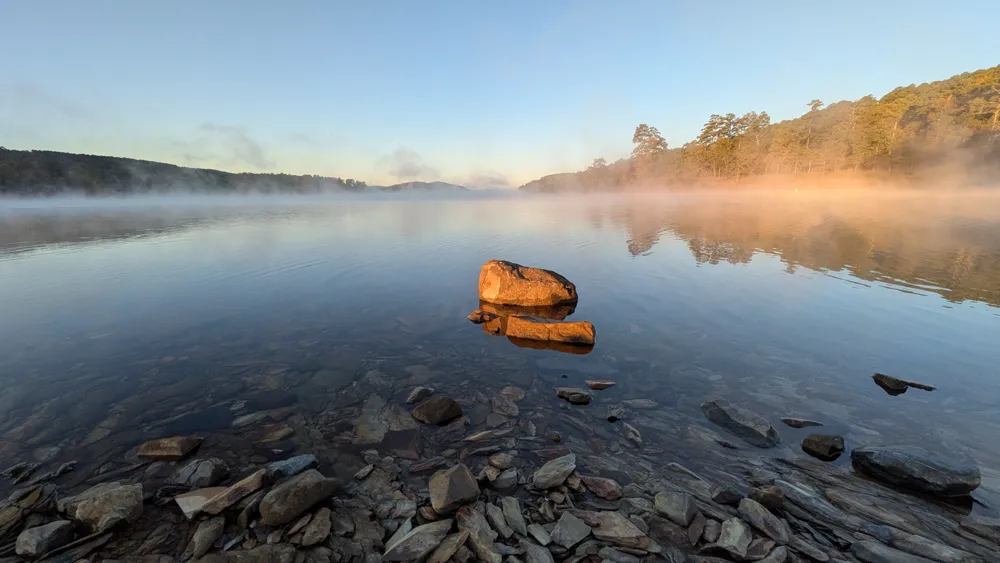
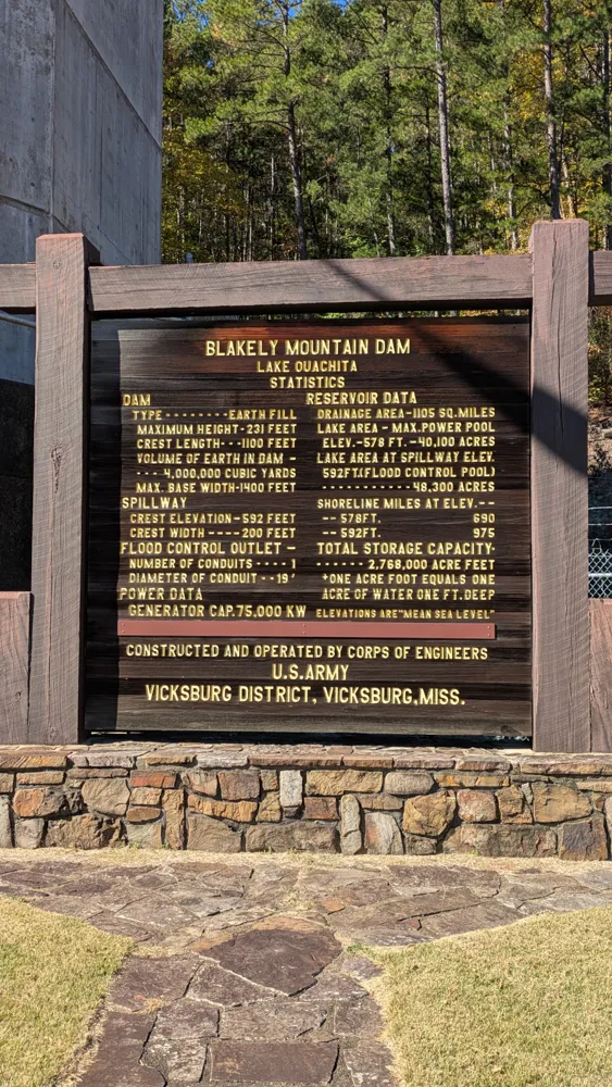
The family a few sites down is packing up early and it's getting light, ergo I am up before 7. I watch the sunrise over the lake as the fog burns off and the geese bathe and then shake and flap themselves dry. I take lots of photos and try not to make too much noise crunching around the rocky shore of the lake before other campers are awake. Breakfast and a quick road ride into Mountain Pine. As usual, I didn't study the map closely and end up missing the turn for the town itself, so I have to backtrack. Then I pedal around the town (no cell service, where the heck was the grocery store?) before finally realizing there is only a Dollar General and gas station, and they are in the other direction - I was supposed to turn before getting into town. It only costs me a few miles but probably an hour total wasted. The flip side of not consulting my phone often, sigh. Mountain Pine is a compact grid of houses and community facilities but looks like it has seen better days. However, there are young kids playing basketball in the park, and lots of basketball hoops in the street, so it earns two thumbs up from me. I resupply and ride through it - again - and then cross below the Blakely Dam. I take a picture of a big wooden sign enumerating all of its impressive stats. Hopefully the engineers were proud of their work!
The LOViT trail starts on the other side of the base of the dam. The climbing is immediate, but the machine-built trail is wider, less rocky, and less punchy than the OT. I get to a high-ish point and enjoy a few miles of relative flow through the forest, along and across creeks with benches scattered throughout. This pattern repeats a few times... I finally found the flow!
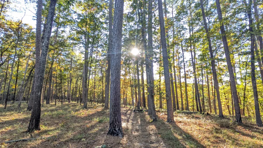
The LOViT is not entirely easy, with some feels-like-uphill-but-is-downhill parts on the Bear Mountain ridge, but overall it's still my favorite riding of the trip. The trail descends to Crystal Springs, which lives up to its name. The water in the streams here looks like glass. I ride parallel to a paved road that leads to lake access - picnic areas and boat launches, etc. Back into the woods, up and over a small ridge, then down the other side and out onto an empty forest road. Directly across the road is a natural spring, piping out of the hill. Perfect! A car pulls up while I'm leaving, and some locals fill up jugs of water.
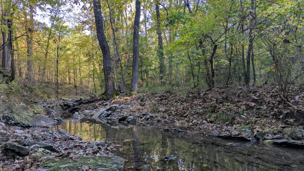
The climb up to Hickory Nut Mountain is big, but doesn't feel like it until the last mile. It starts with a little gravel road ride, then a shady forested path that winds along a ravine, gradually getting deeper and rockier. At the top, Hickory Nut Campground is nice but primitive, with only 8 or so campsites. I set up camp and follow a sign for a fire tower, hiking up to the top of the mountain, only to find that the tower has since been removed (oops). By the time I hike down and find the actual scenic viewpoint on the map - it's about a mile away to the east - it’s getting dark. I'll try in the AM if I'm feeling spry.
Day 5
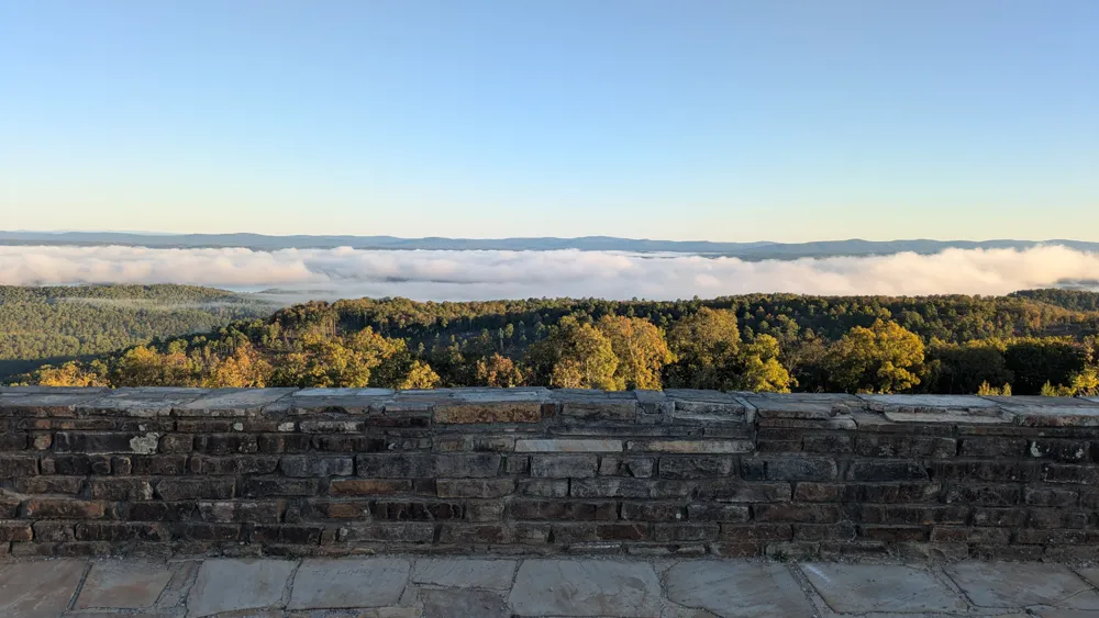
Last day. I wake up around 6:30 and ride the unloaded bike a mile up the road to the viewpoint. There's a huge parking lot/clearing with stone walls that looks out over the lake to the north and the mountain ridges to the south. Mist blankets the lake below, and the water is only visible where a few rays of sun have peeked through the mountains and burned it off. Another camper is here snapping photos. I ride back to camp, pack up and continue along the trail. It loses elevation in a series of steep and loose switchbacks, then rolls along a remote doubletrack next to Irons Creek until it comes to a more established dirt road, and then pavement. I'm close to Highway 270 now, and I can hear cars in the distance, but first the trail crosses the road and winds around the perimeter of Tomkins Bend recreation area for several miles. Luckily, there is water and bathroom facilities at the campground. The trail here is very twisty, and swooping in and out on bench cut for miles and miles with little elevation change gets a bit repetitive.
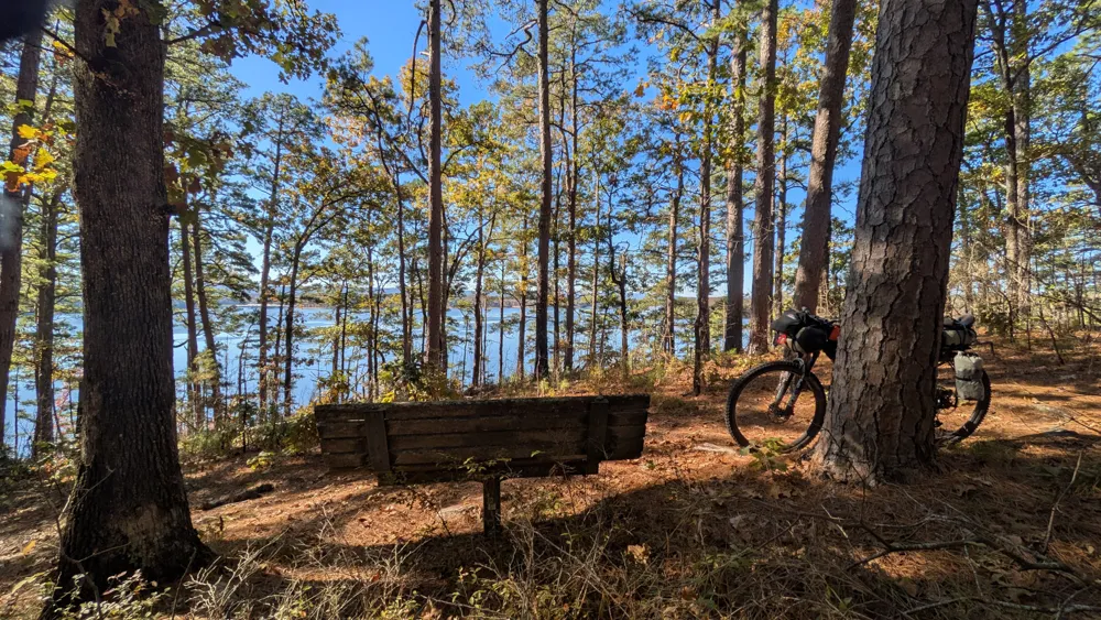
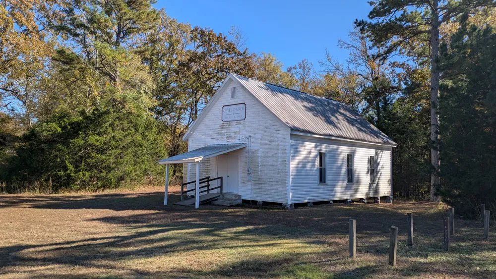
Eventually this section ends, concluding the last of the singletrack on the route... well, almost. On the other side of the highway lies another twenty miles of forest roads to bring me back to the start. It's pleasant and quiet, but there's one last big climb. Finally I fly down the other side of the hill into the town of Owley, which is just an old church and cemetery. I pass a couple of farms, one empty and set back from the road, the other full of cows basking in the sun and eyeing me warily.
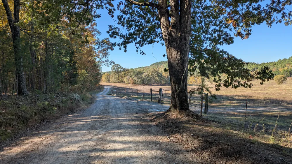
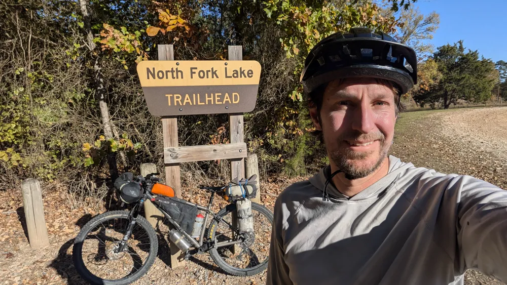
One mile from the trailhead, the dirt road I'm riding on joins the one I drove in on, and the Womble trail crosses it. So the first mile of the route is also the last, in reverse. It's a nice bookend to the trip, and I pedal back to the North Fork Lake Trailhead, reflecting where I started five days ago.
Notes
- Singletrack miles are fun, but not necessarily fast
- Be sure to fill up on water at North Fork Creek by Highway 298, before the climb up Blue Mountain
- Consult GPS before the downhill off the Ouachita Pinnacle! I missed a turn and earned a lot of bonus hike-a-bike.