Lowest to Highest
Overview
A backcountry hiking route from Death Valley to Mount Whitney that connects the lowest and highest points in the lower 48 United States.
More information: Official route website
Highlights
- Hiking across the Badwater Basin salt flats by moonlight
- Waterfalls, rock scrambling, and a koi pond oasis in Darwin Canyon
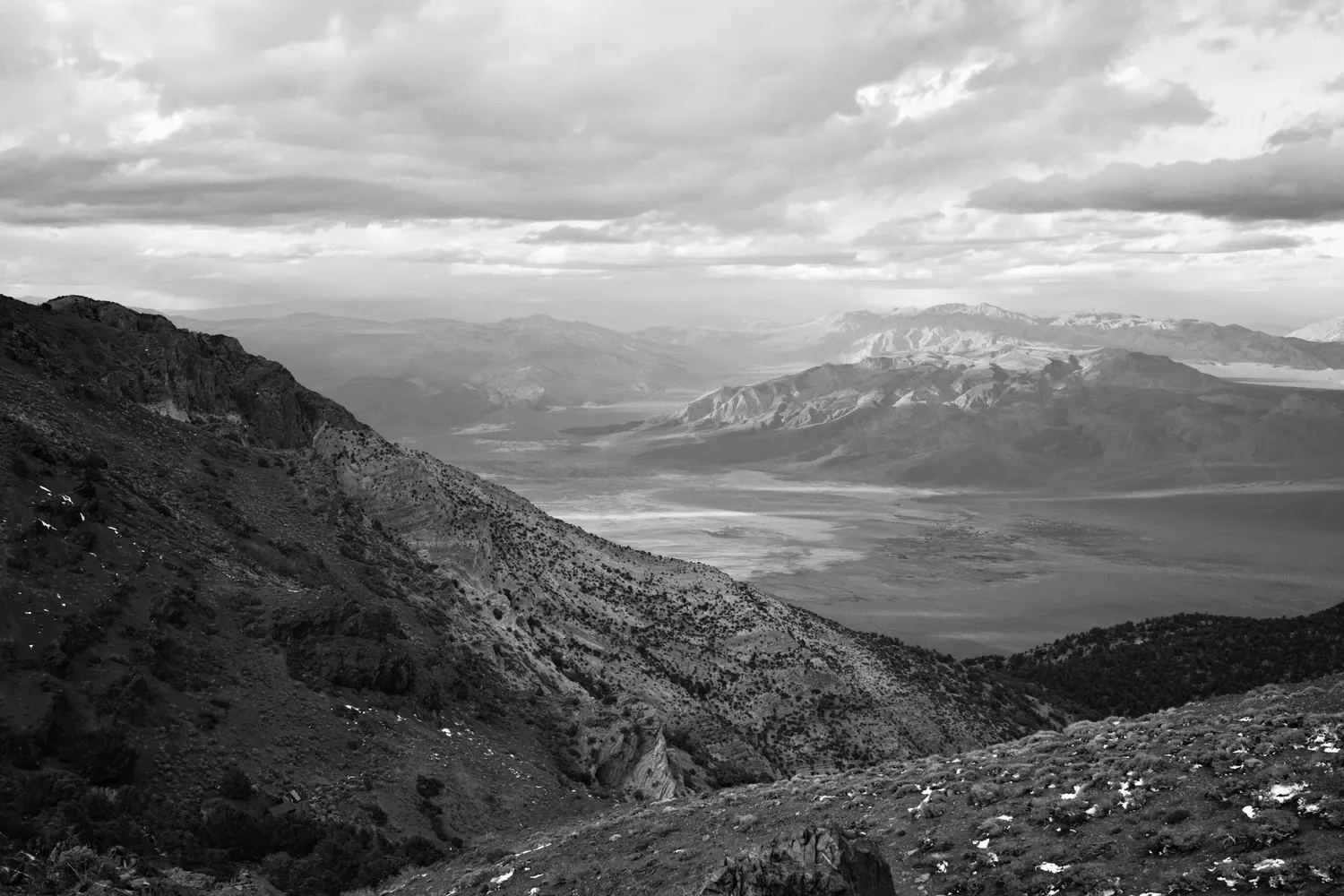
- Rolling hills atop the Inyo Mountains, with dramatic views down both sides
Challenges
- Rugged terrain, off-trail hiking and lots of elevation
- Long water carries
- Logistics of transportation and water caching can be tricky
Trip Story
4/22
I drove out yesterday and camped at the Panamint Springs Resort overnight. Today is errand day.
First things first - I drop a small box of supplies at the resort. They're used to backpackers on this route, and are very kind and helpful with my request. I just need to tape it up so rodents can't get in. Check!
Next, I need to stash water in the desert at a few spots where the hiking route intersects with a road - or comes close. There are some reliable springs on the route (Hanaupah, Darwin), but I don't want to take the risk of assuming that all of them will have flowing water, so I'm caching plenty of gallon jugs to be safe.
I wake up early and drive down Panamint Valley Road to stash two gallons of water that I'll pick up after my descent from Tuber Canyon. Wildrose Road is closed for maintenance, so I have to walk well past the gate to drop the water close to my route. On my way back I begin to notice how deceptive the scale of the landscape can be out here. The scenery offers few reliable visual reference points. How tall are those hills? How tall are the shrubs on the hills? How big are the rocks dotting the hills? How tall are those mountains? Caching the water "just around that bend in the road" ends up being a three mile round trip.
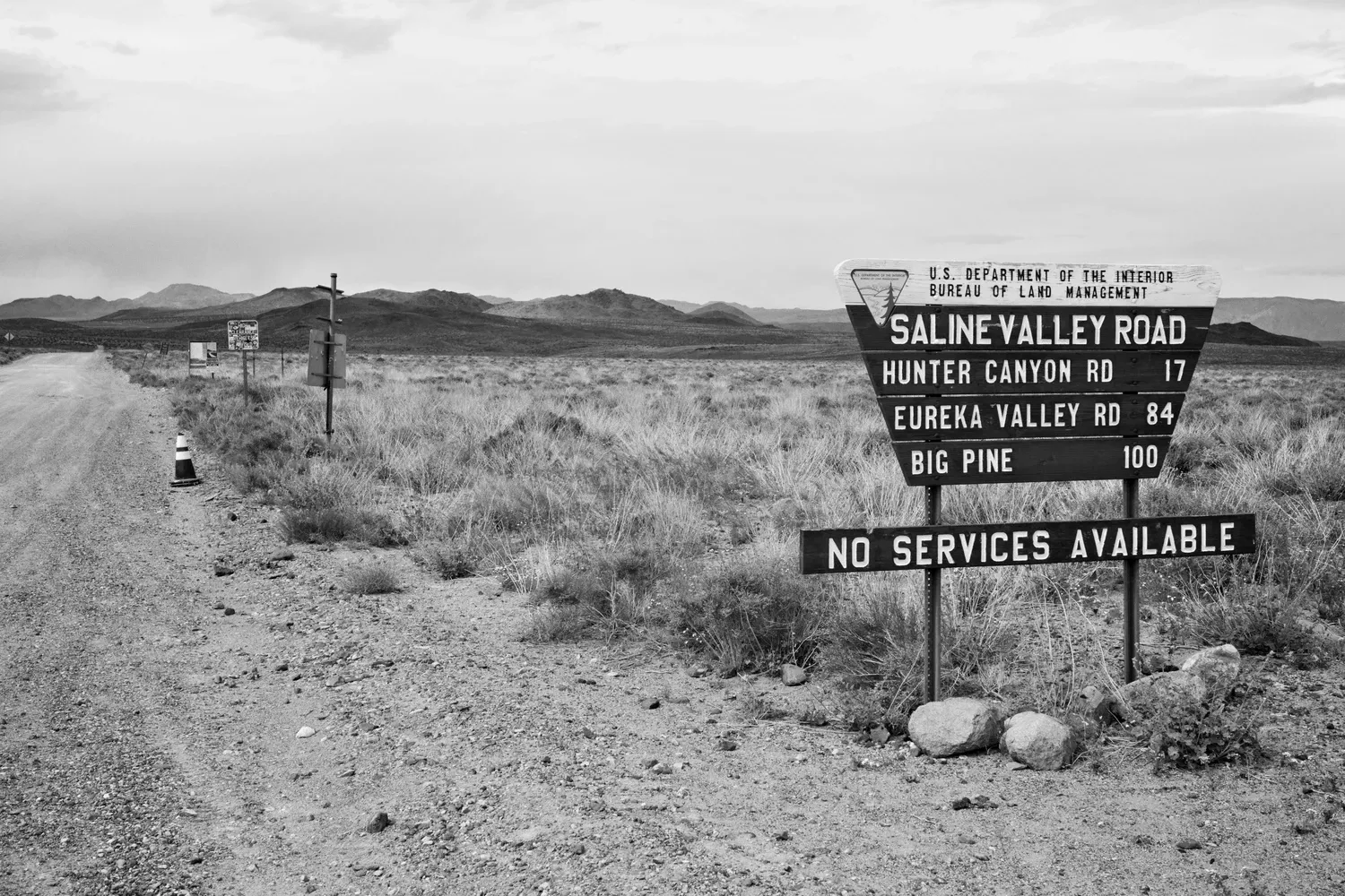
I drive back to Route 190 and turn up Saline Valley road. It's intermittently paved for a while, but the surface is in rough shape. After several miles it turns into a sandy washboard. I drive as far as my car can take me comfortably, about seven miles. I don't want to start the trip with a tow truck ride. A Joshua tree palm stabs one of the water jugs as I try to hide it among the trunks. I turn the jug upside down so no more leaks out, and drop a pin in my GPS so I can find it when I hike through.
I drive to Lone Pine and get some last minute snacks, and look for a place to park my car. The Chamber of Commerce is closed for lunch. I find someone at the Dow Villa, they have an overflow lot right on main street and charge $25 for the week.
I draw a hitchhiking sign ("Death Valley!") with a Sharpie and cardboard, and pack up my gear. I stand around at my car, hesitant to leave, racking my brain for any more last minute preparations. But there's nothing left to do except get moving.
The walk out of town is hot. Cars pass by until just before the junction of routes 395 and 190. Suddenly a car slows quickly and pulls off onto the shoulder. A lady hops out and runs around making room in her SUV for me while introducing herself at the same time. My ride is Sue/The Darkness. She's an accomplished thru-hiker, and will be hiking the Low-to-High route next month too. In fact, she's on her way to cache water right now.
Given that we need to drive around caching water (again), I won't be arriving at Badwater Basin until evening, but I don't mind. The company is good and I'm grateful to have a ride to the start, no matter how long it takes. I'm thoroughly long for the ride. We drive up the slow bumpy 4x4 road to Cerro Gordo and drop water for her cache off at the ghost town. Avery, who works there doing - currently restoring an old hotel! - greets us and directs us to the old church. It is made out of corrugated sheet metal. It has a library of VHS tapes and water jugs from past L2H hikers who suspiciously never showed up (2025 water, a fine vintage!).
We drive back to Route 190 and down to Saline Valley Road. I forgot to cache water here this morning, and Sue has extra, so we each bury a gallon. We drive up Saline Valley Road, retracing my route from earlier, though it goes much faster in her car.
While we're driving back to the highway, a jet fighter buzzes us. It's surprisingly low and loud. I'm in shock but Sue is unphased. She explains that this is rather normal. The China Lake Naval Weapons station is not that far away, and young pilots are always zooming around over the desert during their training. One mile later we pass an old couple driving around in an old station wagon with rally lights. Mad Max meets 1950s suburbia.
Sue entertains me with myriad hiking stories as we drive to the starting point. The logistics are over with, and hearing about endless adventures on the triple crown, Wonderland Trail, Great Basin, Hayduke, and Haute Route Pyrenees gets me giddy about the next week has in store.
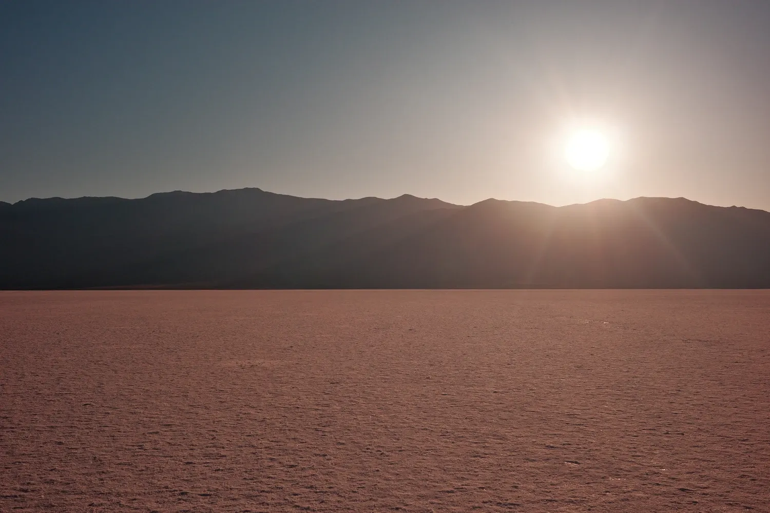
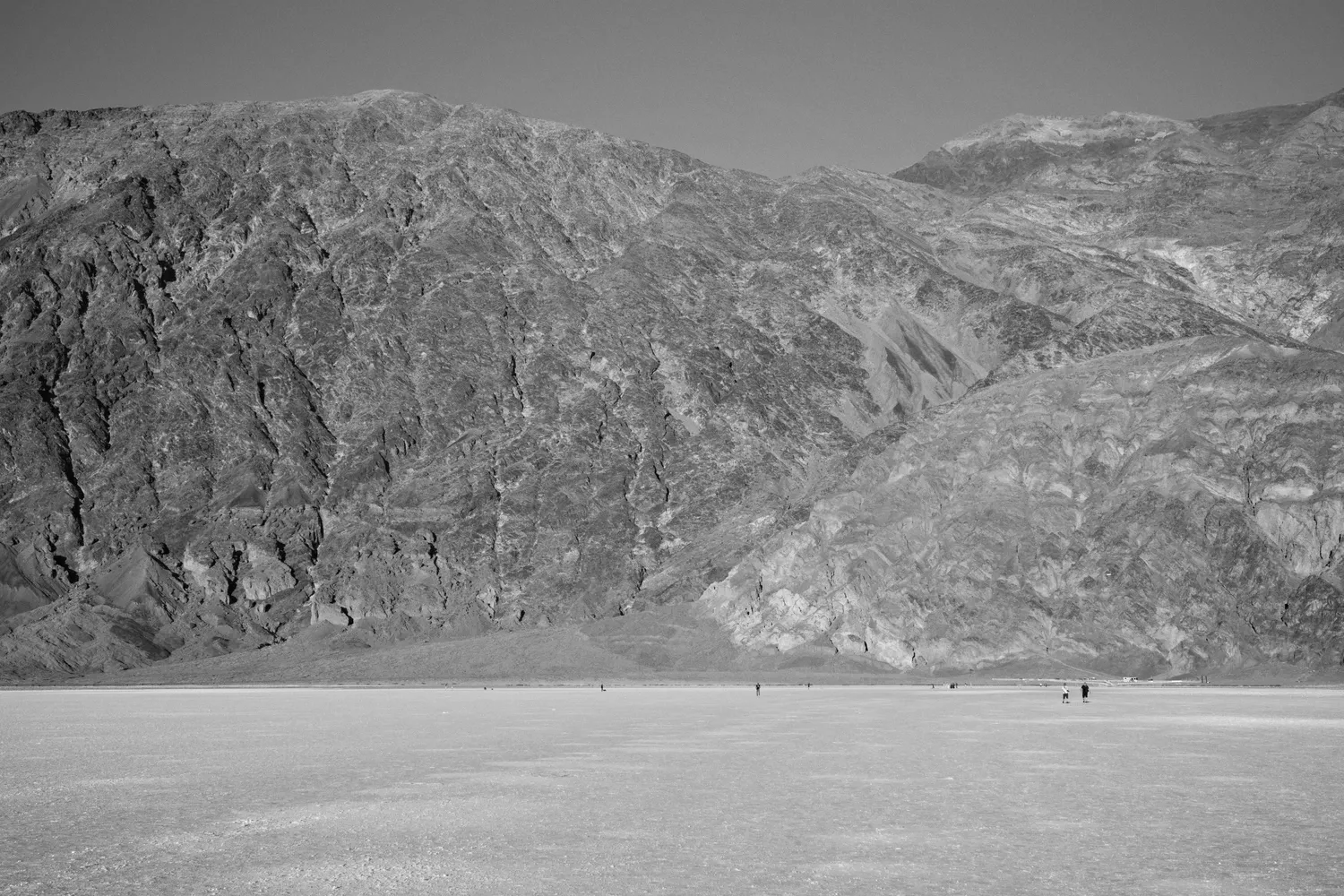
We share goodybes at Badwater. It's after 6 p.m. and the sun is starting to get low. The parking lot is crowded; as far as I can tell some influencers are doing a photo shoot. Young men and women in branded t-shirts are doing exercise routines in front of a big adventure van. I snap a selfie on front of the Badwater sign. With the huge social media production going on in the parking lot, I'm not as self-conscious about taking a selfie as usual. I walk out on the salt flats and the other tourists gradually dwindling away as I walk farther out. Soon I'm the only one left.
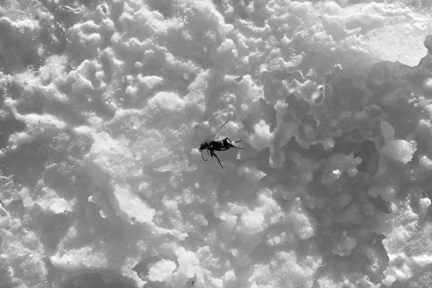
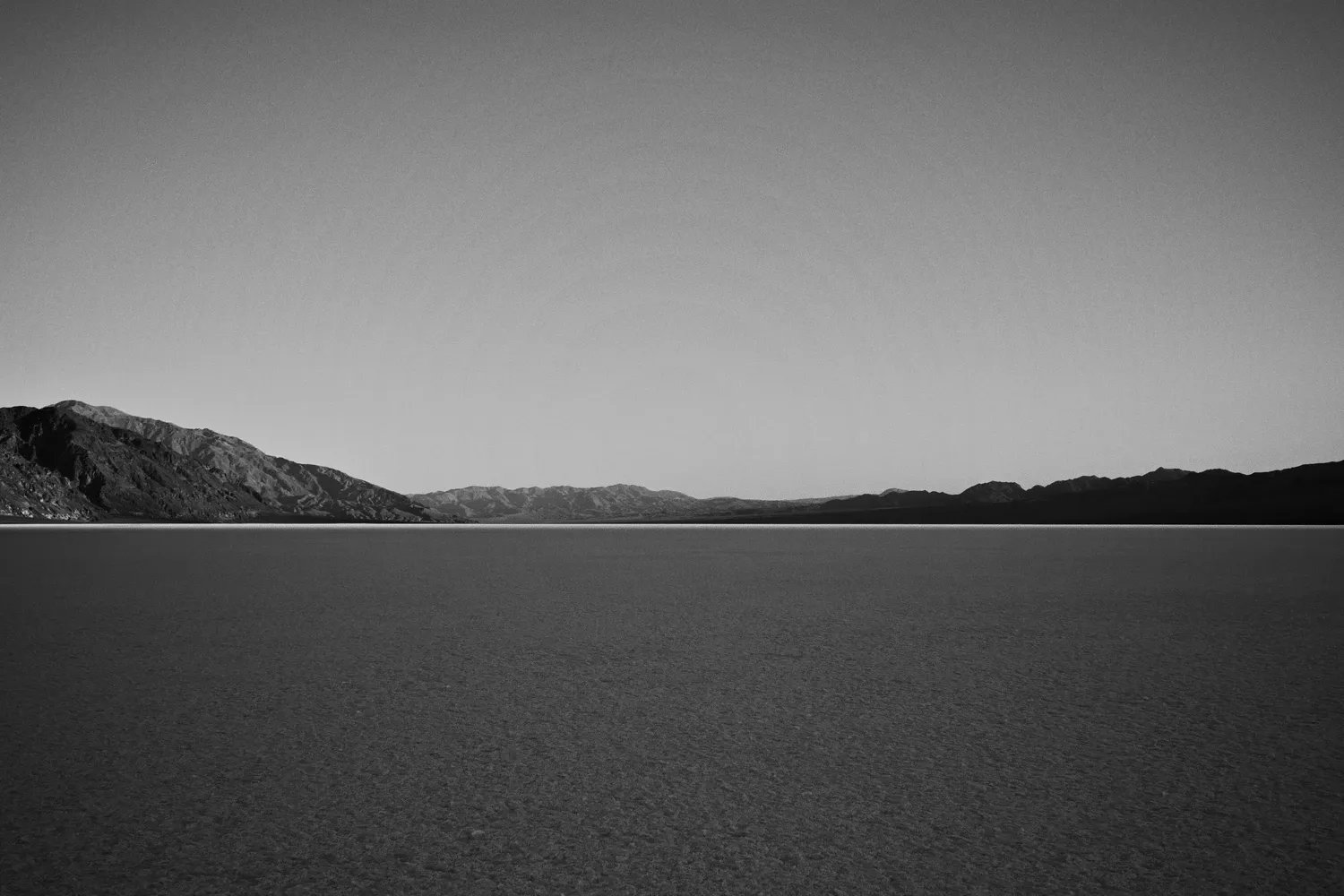
I enjoy the solitude for a few moments. Then the ground starts to get mushy. Like walking on an inch of melting snow. To my surprise, I start breaking through the salty crust into the mud beneath. As the lowest point in the country, Badwater is a natural lake bed. As the water evaporates, it leaves behind a salty crust, which actually seals in the soupy mud below the surface. I try all manner of tactics to avoid post-holing into the mud. I tip-toe, walk slower, and try to avoid previous tracks - all to no avail. The mud only gets deeper. Each step is laborious, salty, and sticky. The mud sucks one of my shoes off, and as I stop to retrieve it and tighten my laces, I feel myself slowly gradually sinking.
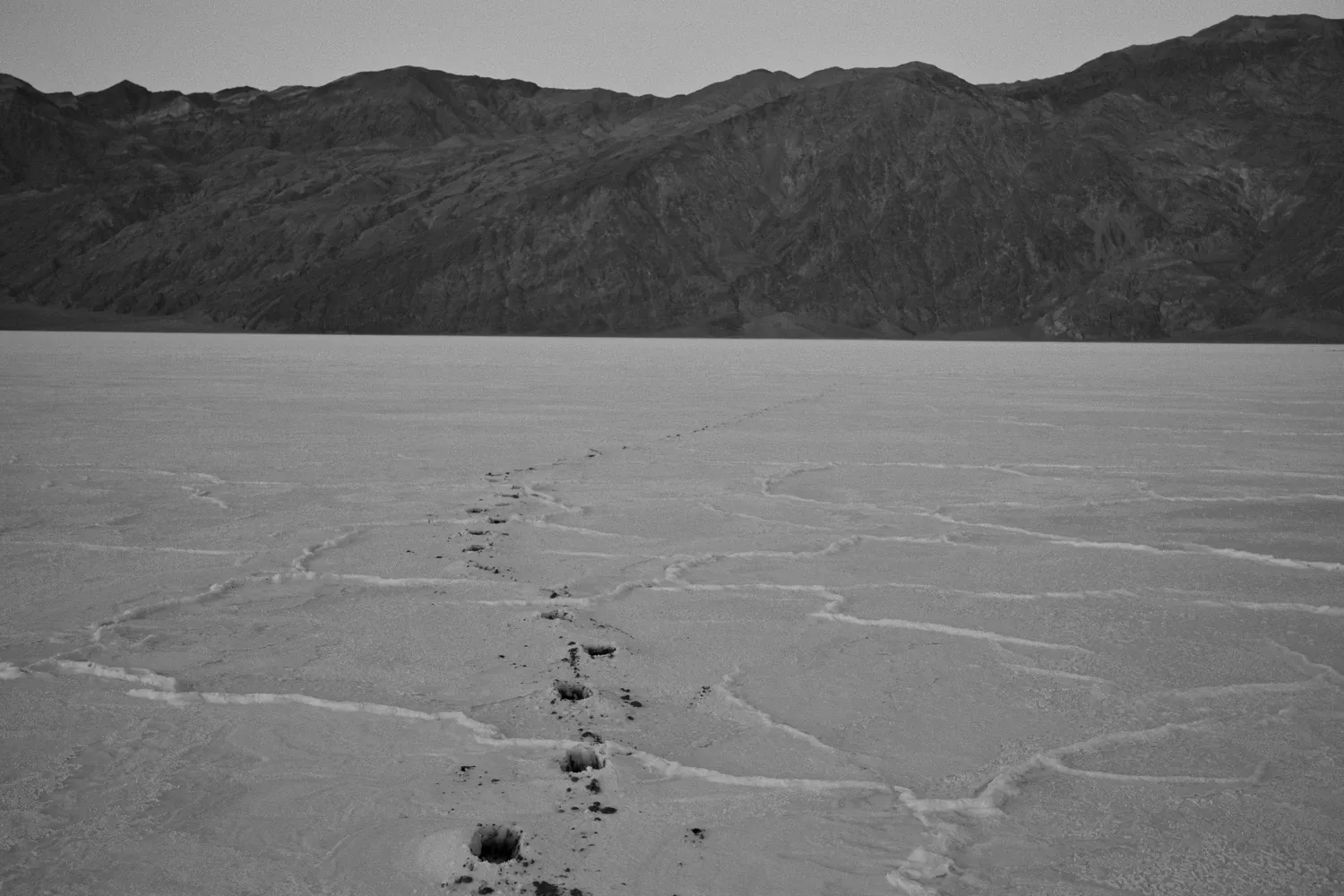
I struggle to keep moving. I am now in the middle of the valley, three miles from either edge of the basin. "Don't die like an idiot" Sue advised me. Oops, I think. I trudge onward, exhausted, trying to ignore the seemingly dire reality of the situation. Eventually the surface starts to firm up. It's dark now. At least the stars are starting to come out. I see car lights in the distance. What are other tourists here doing out at night, I wonder. Astrophotography? Coming to rescue me?
I reach the other side of Badwater Basin and stumble through a thicket of scrubby trees and sand dunes, and eventually find the west side road. I sit down and cold soak dinner at 9 p.m., then hike another hour up the hill under the moonlight. I text Leah on the Garmin. After the late start and the adrenaline-filled last few hours, I'm not that tired, but I decide I should set up camp. The terrain is invariably a rocky, gradual slope. Not great. I find a small flat spot on the bank of an arroyo and set up my bivy. It's very windy out. Why did I bring the foam pad? I'm nervous about the rest of the hike, all over again.
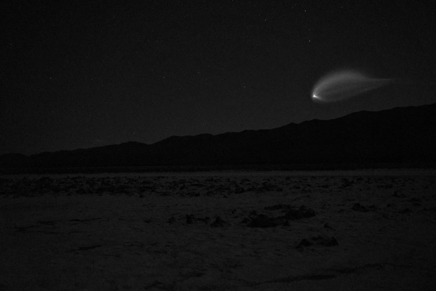
4/23
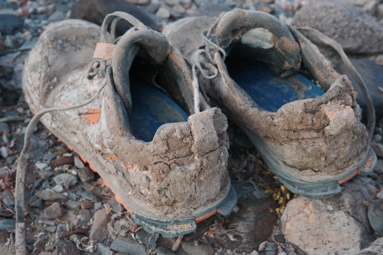
I wake up with the glow of sun behind the mountains at 5:30 a.m. I managed a few hours of sleep in the wee hours of the morning before the wind picked back up. I have a hard time finishing breakfast. I knock some dried mud off of my shoes and pants from last night and start walking.
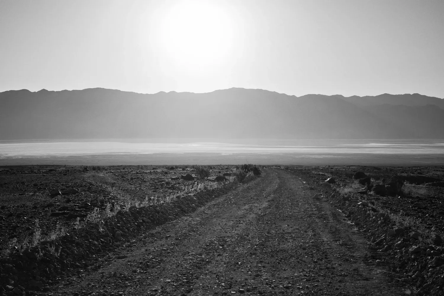
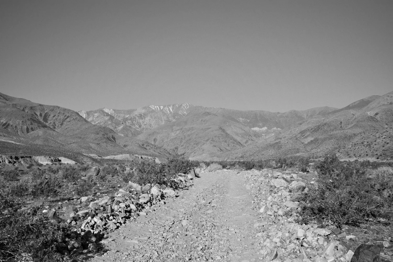
A long 4x4 road meanders up to the mouth of Hanaupah Canyon. I pass a camper van shortly after I break camp. I pull out my umbrella when it starts to get hot. This cools me down noticeably but proves rather finicky to keep attached to my backpack without occasionally bonking my head. But it's worth it.
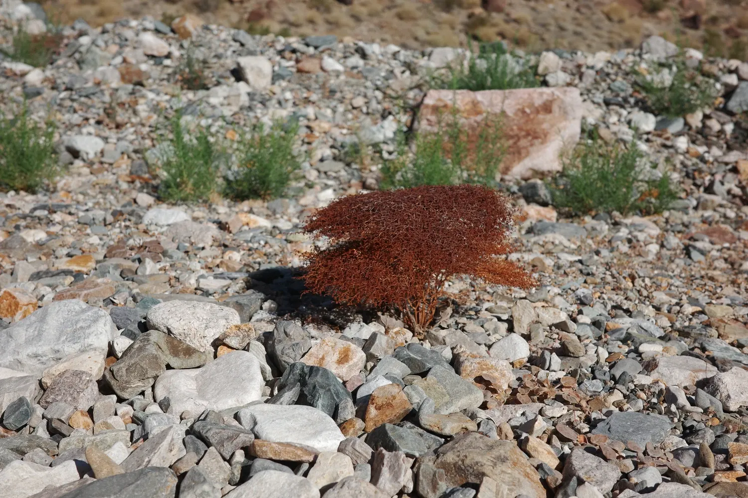
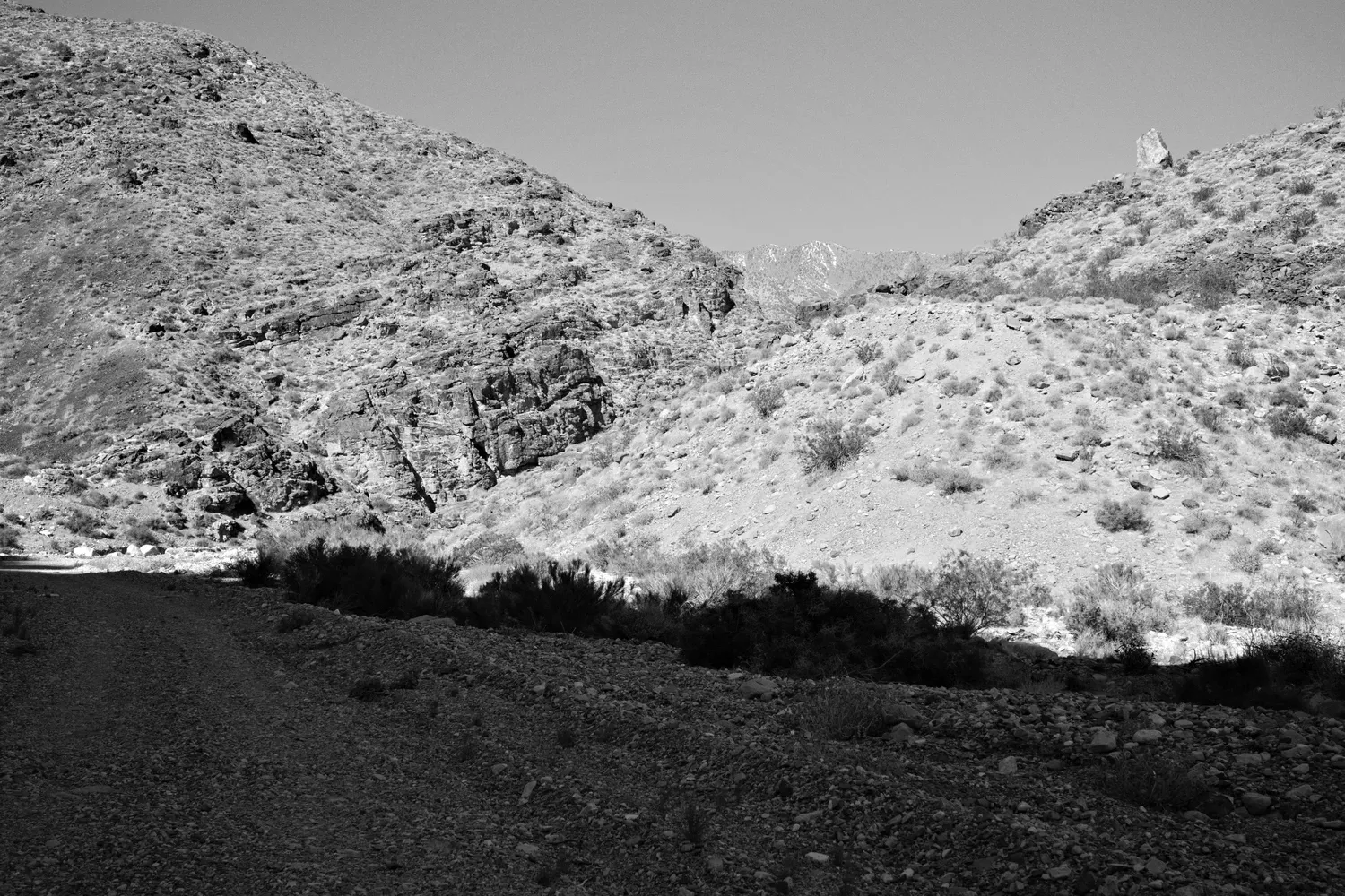
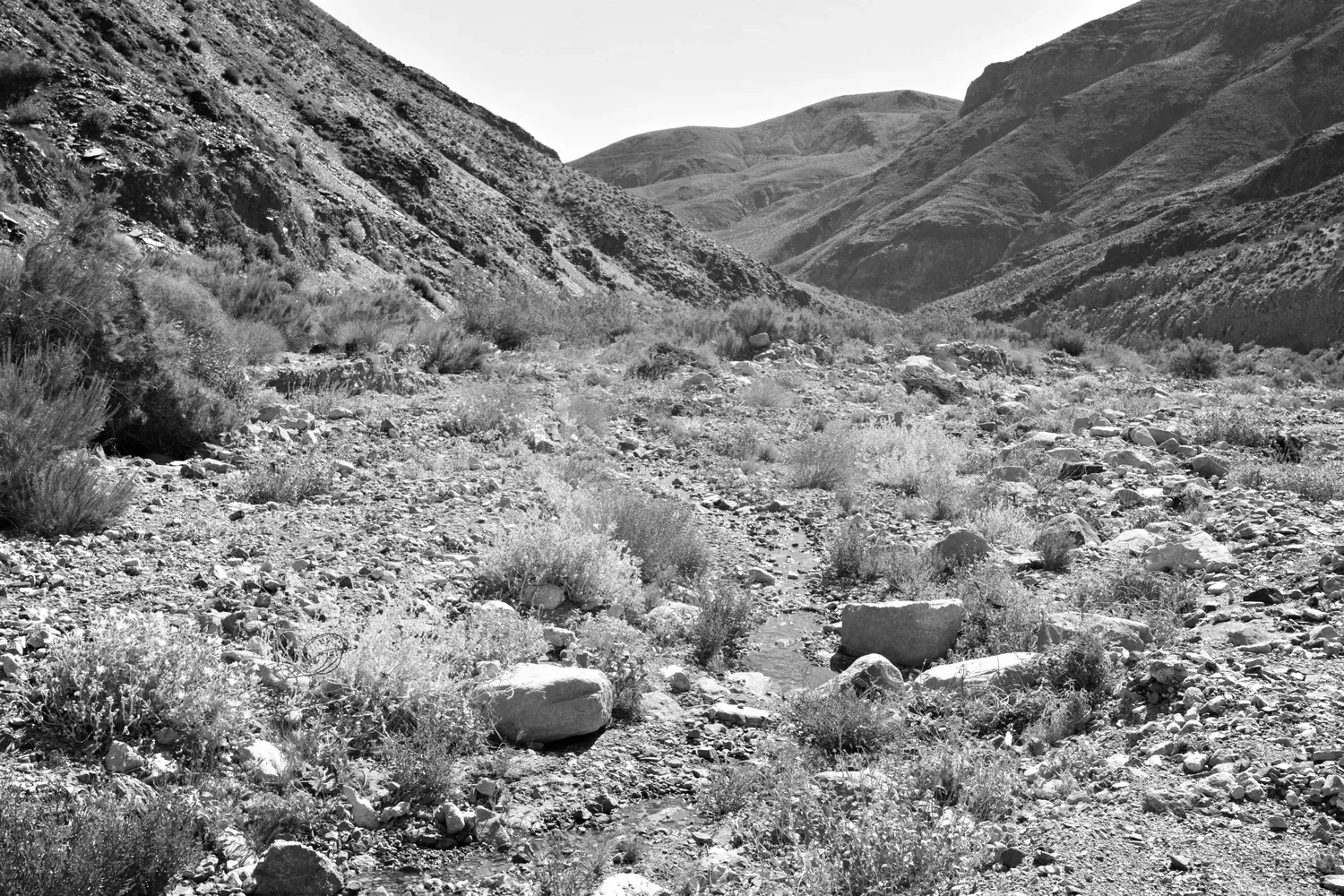
Small spongey-looking reddish bushes poke out from behind the rocks everywhere. A cool breeze picks up once I enter Hanaupah Canyon, and the walls block some of the sun. After eight miles I finally find a small trickle of the spring off to the right side of the canyon. I'm pretty sure I hear the song of Costa's Hummingbird whooshing in the background.
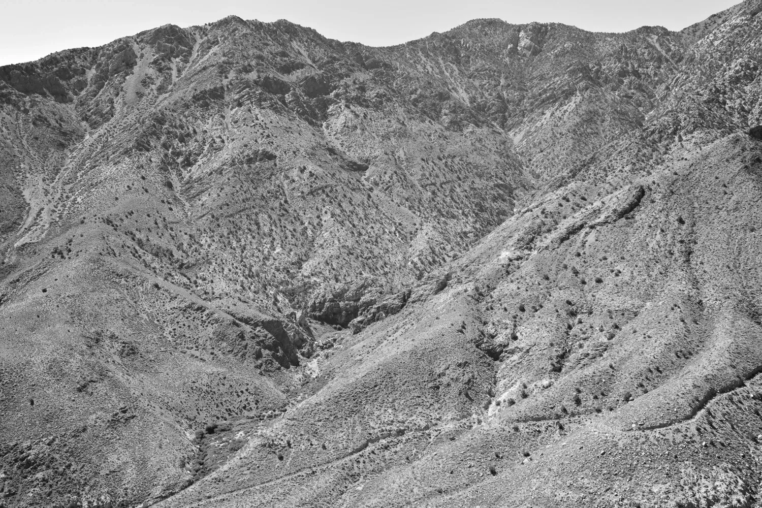
From Hanaupah Spring, the route climbs out of the canyon up towards Telescope Peak, gaining 6,500 feet in less than five miles. In fact, it's actually a series of short, even steeper climbs broken up by some (relatively) tame walking along a rolling ridge. I start out strong, but the trail just seems to get steeper and steeper. I need more and more time to go a shorter distance each time. I stop. A lot. The last section is an entire hillside of loose scree, where I slide backward a foot for every step I manage to take forward.
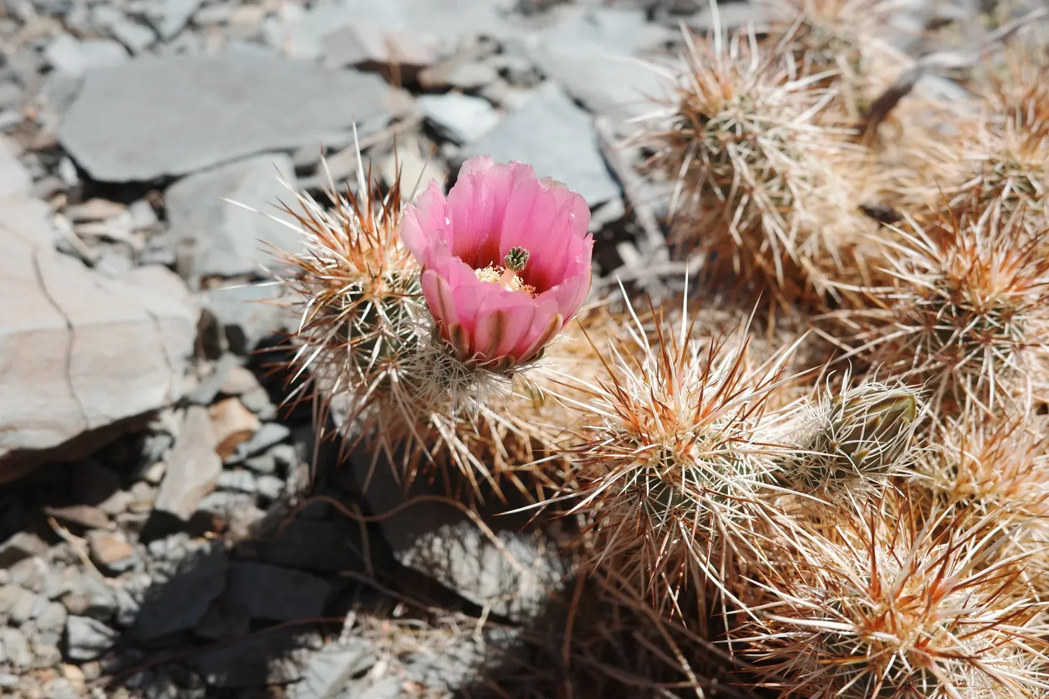
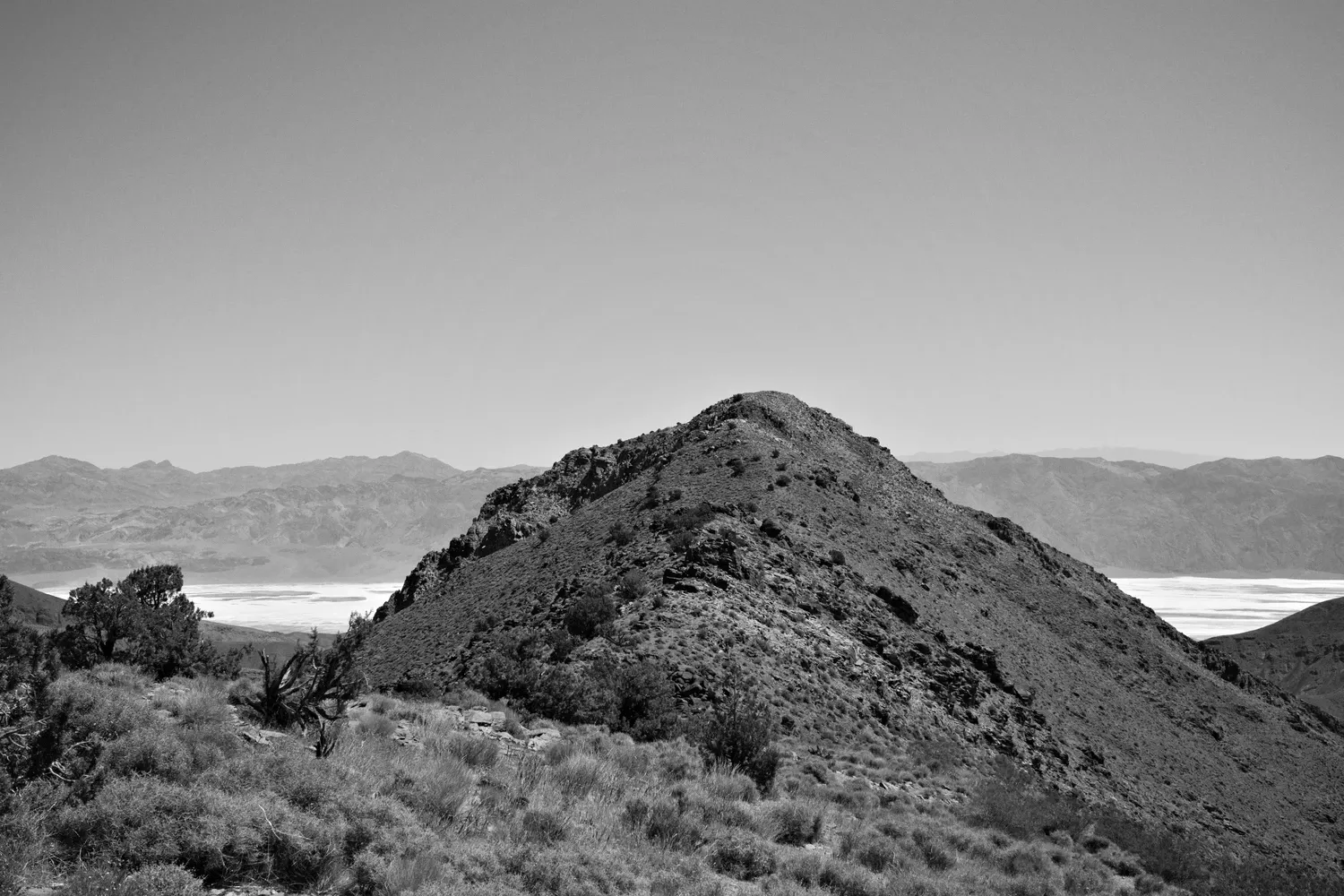
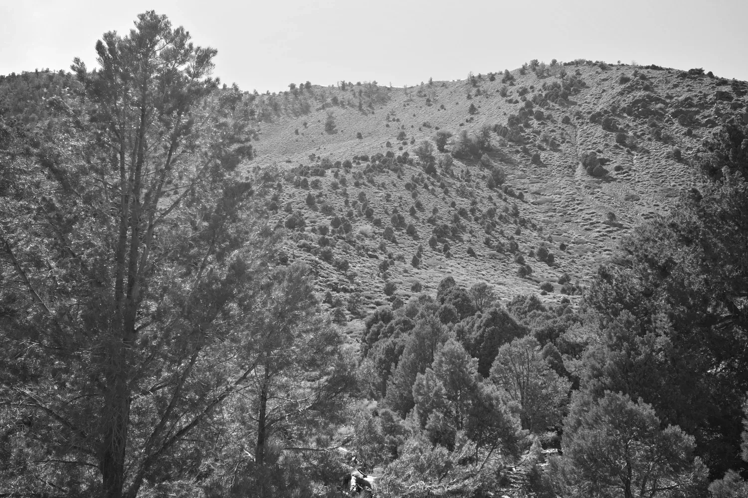
The final slope takes me an hour to go one-third of a mile. I don't get to the top until 4:00 p.m. Since I left camp this morning, I've climbed nearly 10,000 feet. But the work is not without a magnificent reward. Huge ancient bristlecone pines guard the last steep section up to the ridge. From the saddle below Telescope Peak, I can see Badwater to the east and Mount Whitney to the west - the start and end, respectively, of my entire week-long trip.
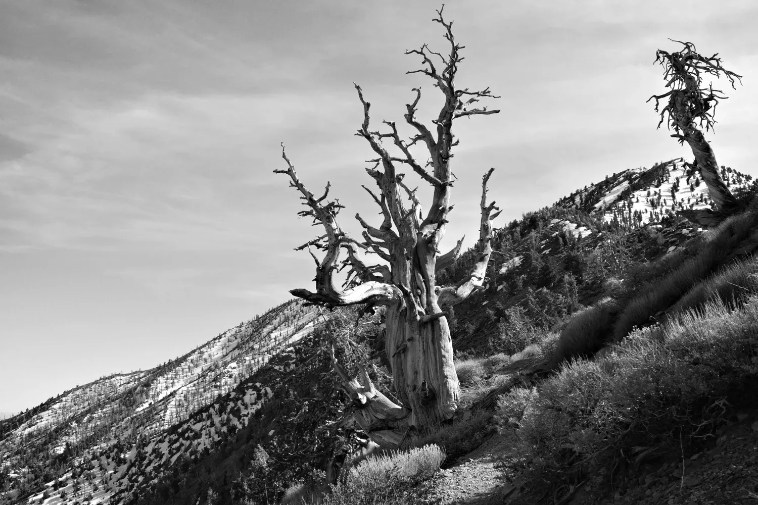
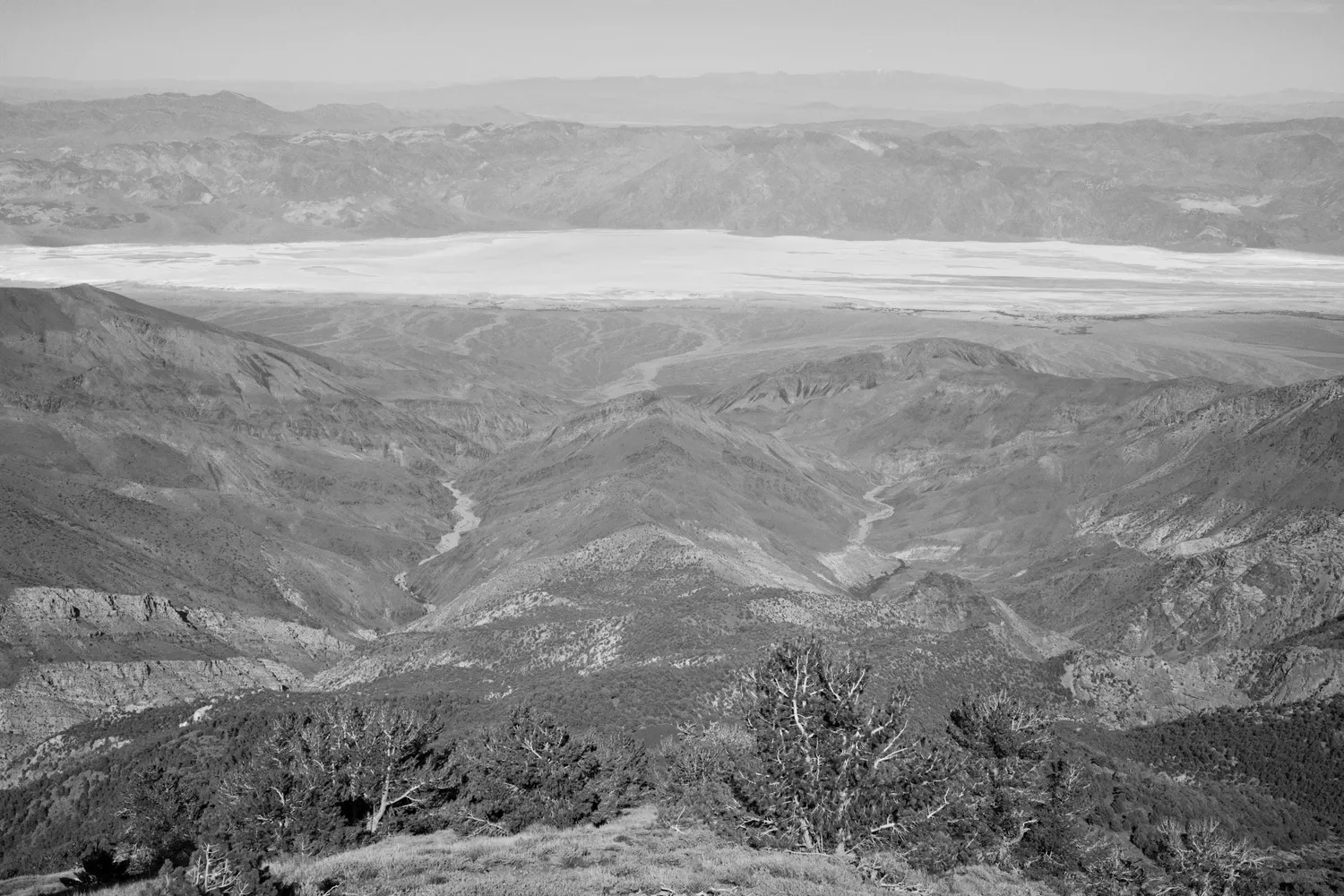
I opt not to venture up to Telescope Peak. I'm wiped, and the thought of another 1,000 foot climb seems out of the question. Plus the top is still covered in snow. However, the trail along the ridge north of Telescope Peak is mercifully well-maintained and easygoing. At this point I realize the tips of both my hiking poles have broken off, and the poles are now carbon nubs that are grinding down by the minute. I stash one of them in my pack and try to rely on it sparingly - it's only day two, after all. The trail loops around a small summit until Roberts Peak comes into view then I depart the trail to follow the main route west, cross-country, down a steep descent into Tuber Canyon.
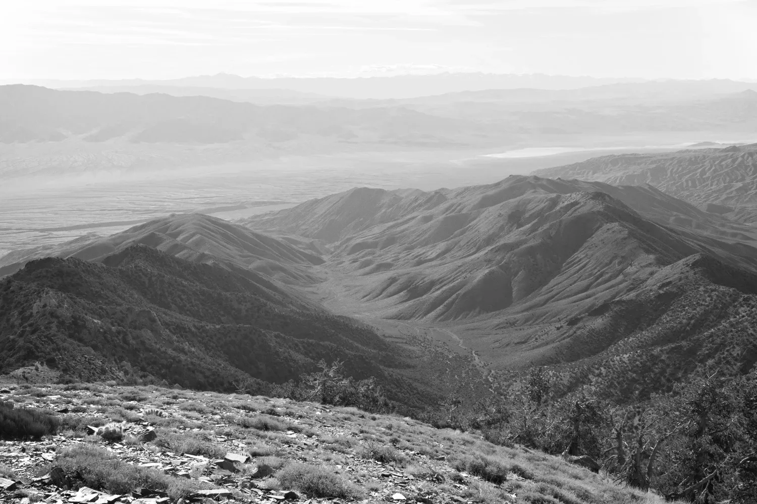
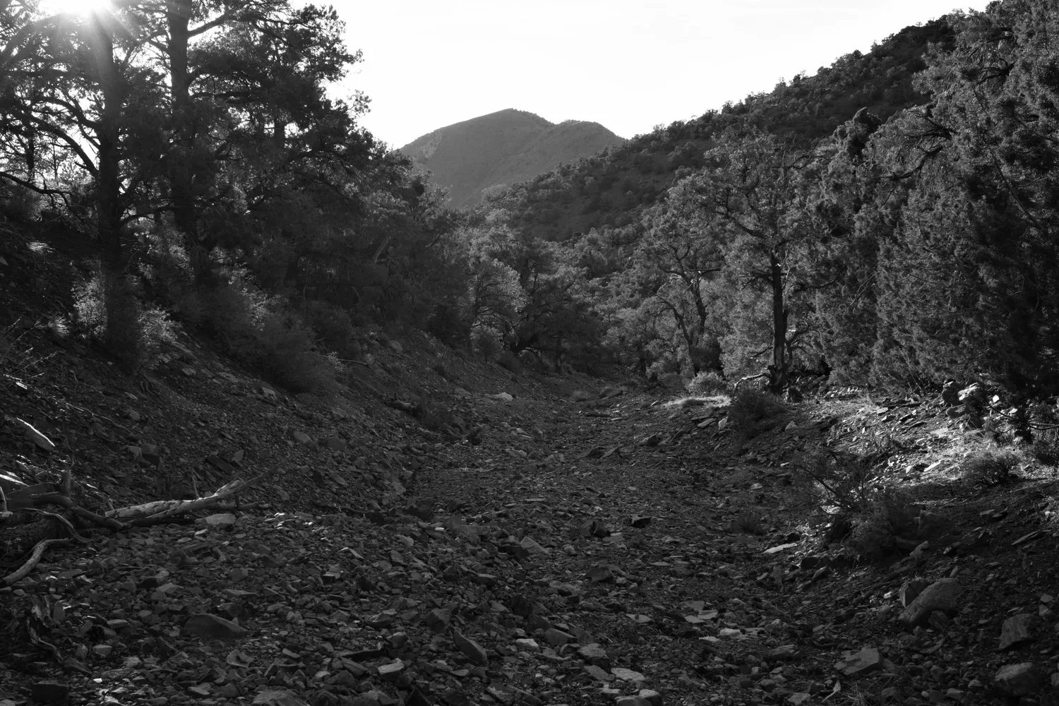
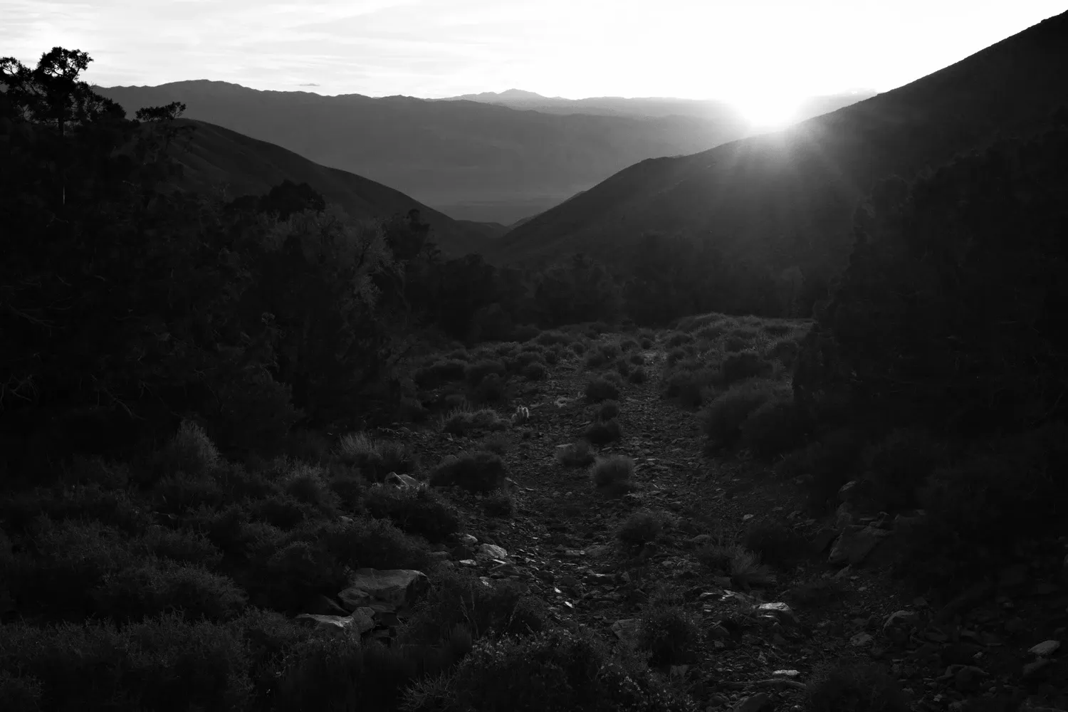
The spring is flowing at the head of Tuber Canyon, which is a pleasant surprise. I fill up on water since I won't be making it as far as I expected tonight. The bottom of Tuber Canyon is a series of parallel rocky streambeds. I walk directly down the middle of one, and there is not much deadfall so it's smooth going. In the distance, the Panamint Valley and Darwin Hills loom beyond the mouth of the canyon. Beams from the low sun angle through the trees and illuminate bugs floating and circling in the air. I walk until the tree cover starts to thin out, then find a flat spot and plop down for the night.
I text Leah. I never managed to configure the Garmin mobile app to pair my phone to my InReach, so I have to manually scroll and select one letter at a time to compose my messages. It's infuriating. And also my own fault. I start to drift off to sleep while my dinner of ramen and couscous soaks. The canyon is completely silent.
4/24
I wake up at 1:00 a.m. with my gear still strewn around and my clothes on. I must have fallen asleep immediately after eating. I get up and put away my things, then wash my face and pass out again. It feels warmer then when I went to bed... Maybe the big meal is heating me up nicely?
I wake up again at 7:00 a.m., feeling like I got hit by a bus. Shoulders, feet, legs... everything is sore and stiff. Even small things are oddly painful. Hangnails, scrapes, and blisters all throb. I move around gently while my breakfast soaks and regain some mobility.
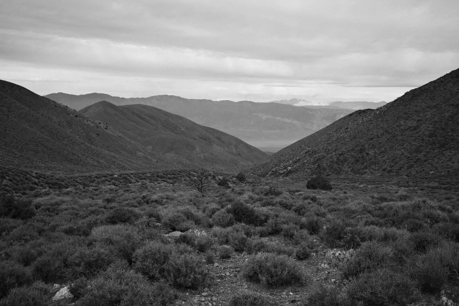
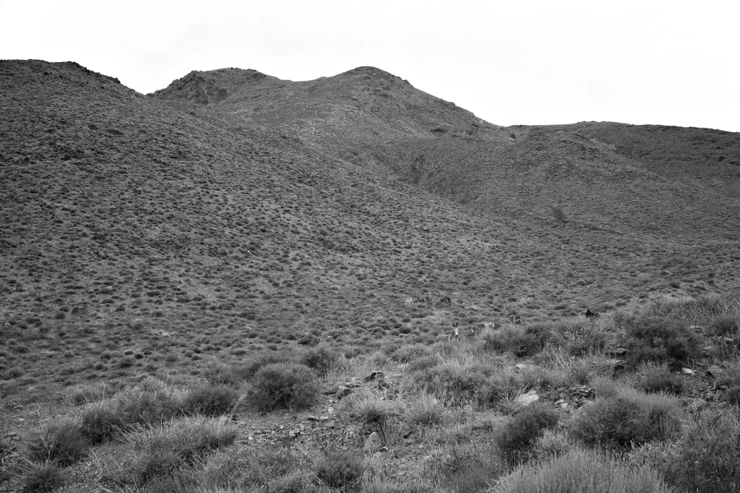
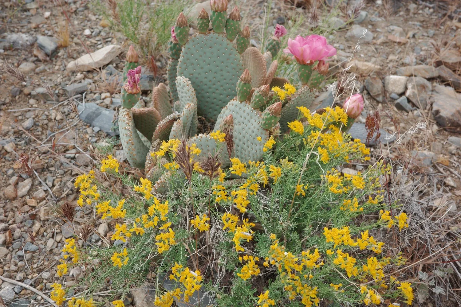
The rocky washes gradually give way to a proper canyon. Dirt trails appear and disappear faintly along the banks. Sometimes I just walk down the middle of the canyon floor. I'm startled by a snorting noise and look over the embankment to see the head and ears of a donkey, with a large herd farther up the hillside behind it. I snap some pictures but leave quickly so as not to disturb further. Another mile or two down the canyon I hear a sudden howling from up on the hillside. I look for coyotes, but can't find them. A couple of tricky navigational sections occur where spring tributaries feed into the canyon, creating large clumps of trees and vegatation that fight for the precious water, choking the bottom of the canyon. Unable to bushwhack through these dense thickets, I follow burro paths up and around the hillsides to circumvent them. The paths are surprisingly good and reliable.
Several small birds fly away out of the underbrush, their wings beating loudly. I've startled a group of quail (maybe?). The biggest one stays behind squawking and chirping at me from near the trail. Sorry.
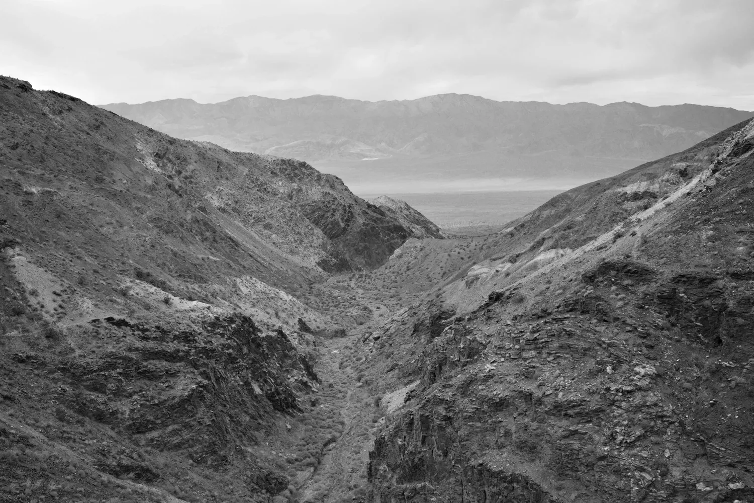
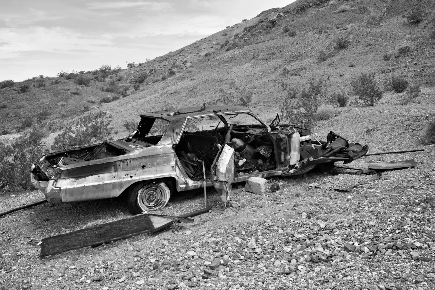
The canyon varies in height and breadth, and is very striking and steep at times. One or two miles from the valley floor it opens up, becoming wide and hot and flat. An old mining road appears along one bank. I see a coyote trotting away in the distance. Knew it. Before the mouth of the canyon, the trail (now a rough doubletrack road) zags off to the north. A few miles later I find my water cache and huddle in a very tiny shadow under the road embankment, where I eat lunch and redistribute the water out from of gallon jugs.
I hit the road again and by now it's already almost 2 p.m. Where did the time go? It's going to be hard getting to Panamint Springs before dusk, and Darwin Falls is probably out of the question. The hike is a fifteen mile slog down a rocky 4x4 road. The view never changes. It's hot and mostly flat, but the rocky road often demands attention. My focus lapses for a moment and I roll my right ankle. It feels bad. But the pain never comes. We'll see tomorrow.
I entertain myself by admiring the lizards. They are everywhere, and come in all sizes. They run so fast it looks like they aren't even touching the ground. As if they're floating over the surface of the rocks, their bodies wobbling gently as their legs whisk them along in a blur.
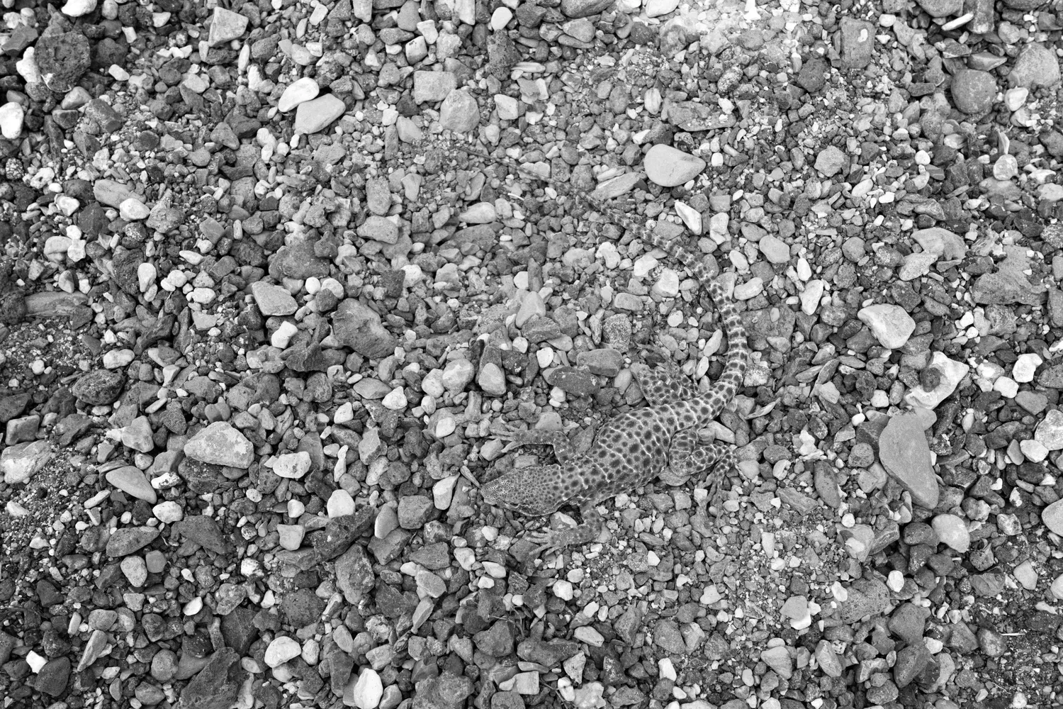
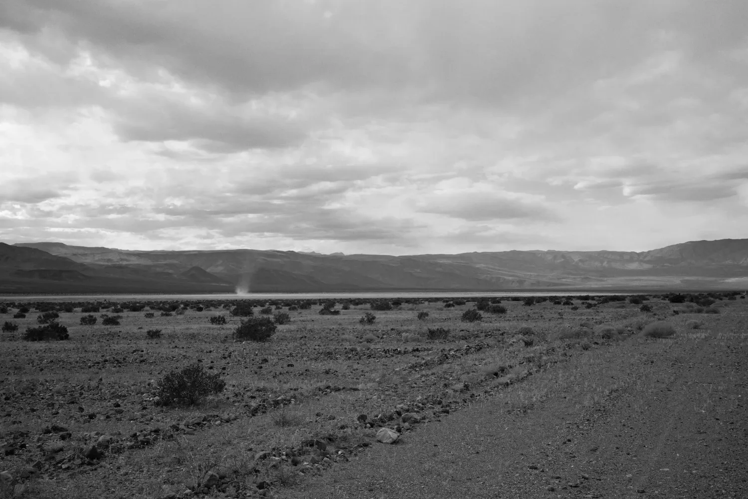
Finally something interesting happens, and the route takes a hard left across a vast dry lake bed, cracked from baking in the sun. I can see Panamint Springs glinting clearly in the distance and I make a beeline right for it.
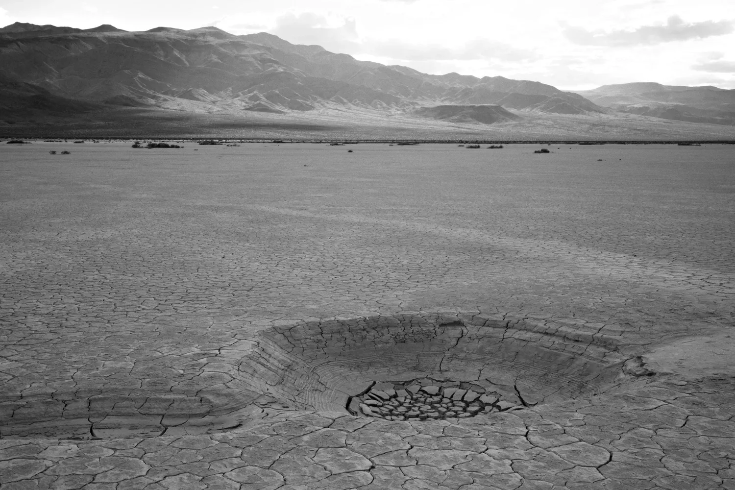
The last few miles are a choose-your-own-adventure of shallow, braided drainages that cut cross country to Panamint Springs. The surface is sandy with occasional chunky basalt rocks scattered around. I notice tons of whispy dried tumbleweed-like plants, like we saw in Baja. I resort to counting steps. By now I've deemed this route the ultimate "I think I know where we're going" trail. Because, from most points on it, I can see for miles ahead - often to the spot off in the distance where I'll camp for the night.
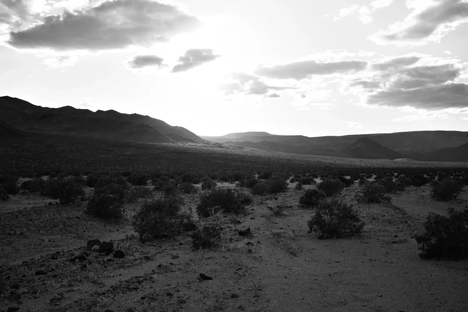
I hobble in to the Panamint Springs store an hour before dark and pick up the food resupply I left here two days ago. In retrospect, this was probably unnecessary - resupplying from the store would be fine. They seem to be savvy to the camping/backpacking crowd, and have things like ramen, snacks, fuel canisters, etc. The woman working the register is quirky and talkative, and her levity helps improve my mood after the last five hours of trudging across the valley floor.
I cross the street to the campground, moving with comical slowness as I totter around to set up my tent, use the restroom, and start dinner. Camping as a backpacker alongside car camper neighbors can be a bit awkward. I have no vehicle or big tent to give me much privacy, just a small tarp.
The ground is hard, which means tent stakes are futile. I waste a lot of time moving large rocks from around the campsite to hold down the guylines against the whipping wind. The silver lining is that it's nearly dark now, and the sunset has brought some privacy to my otherwise crowded corner of the campground. I strip down to my sleep clothes and use my trusty earplugs to drown out the campfire conversations from my campsite neighbors.
4/25
I wake up slightly confused, due to the fact that I'm exactly where I was three days ago (just a few campsites away), watching the sunrise over the Panamint Valley. I perform foot maintenance while I boil water for breakfast. My feet have been blistering at an alarming rate. I should've washed my shoes and socks at Hanaupah Spring to clean the mud out of them. Or at Tuber Canyon. D'oh! Instead they've become hard and unyielding, and the salt and dirt have been abrading my skin for two days.
As I pack up, the neighboring campers ask where I'm going. They're impressed when I tell them about my planned route. My pride now lifted, I try not to hobble too badly as I walk out of the campground. My feet still hurt, but not necessarily where I expect them too. Achilles, calves, arches. Structural things, not blistery things.
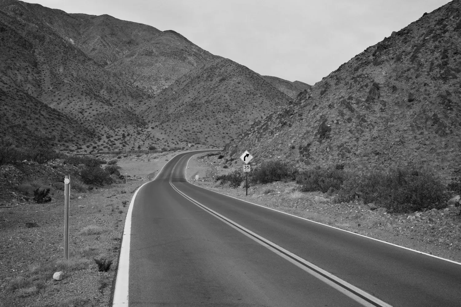
After a mile on pavement, I turn off and trudge up the 4x4 road toward the Darwin Falls trail. A trickle of water appears in the wide empty canyon, then it becomes a stream. The canyon walls get higher and steeper. The trail becomes hard to follow as trees and reeds begin to clog the creekbed. Suddenly a waterfall appears! I take photos and figure out how to clamber up and around the falls to continue on the route. I scramble up a scree field and take a side trail that leads directly to the bottom of the upper falls, in a narrow shaded grotto. It is spectacular, a forty foot waterfall in the middle of the desert! I proceed up the canyon, enjoying the greenery as I jump over the small stream, marveling at the oasis. I stop to do laundry, finally rinsing the mud from Badwater out of my socks. Morale is greatly improved.
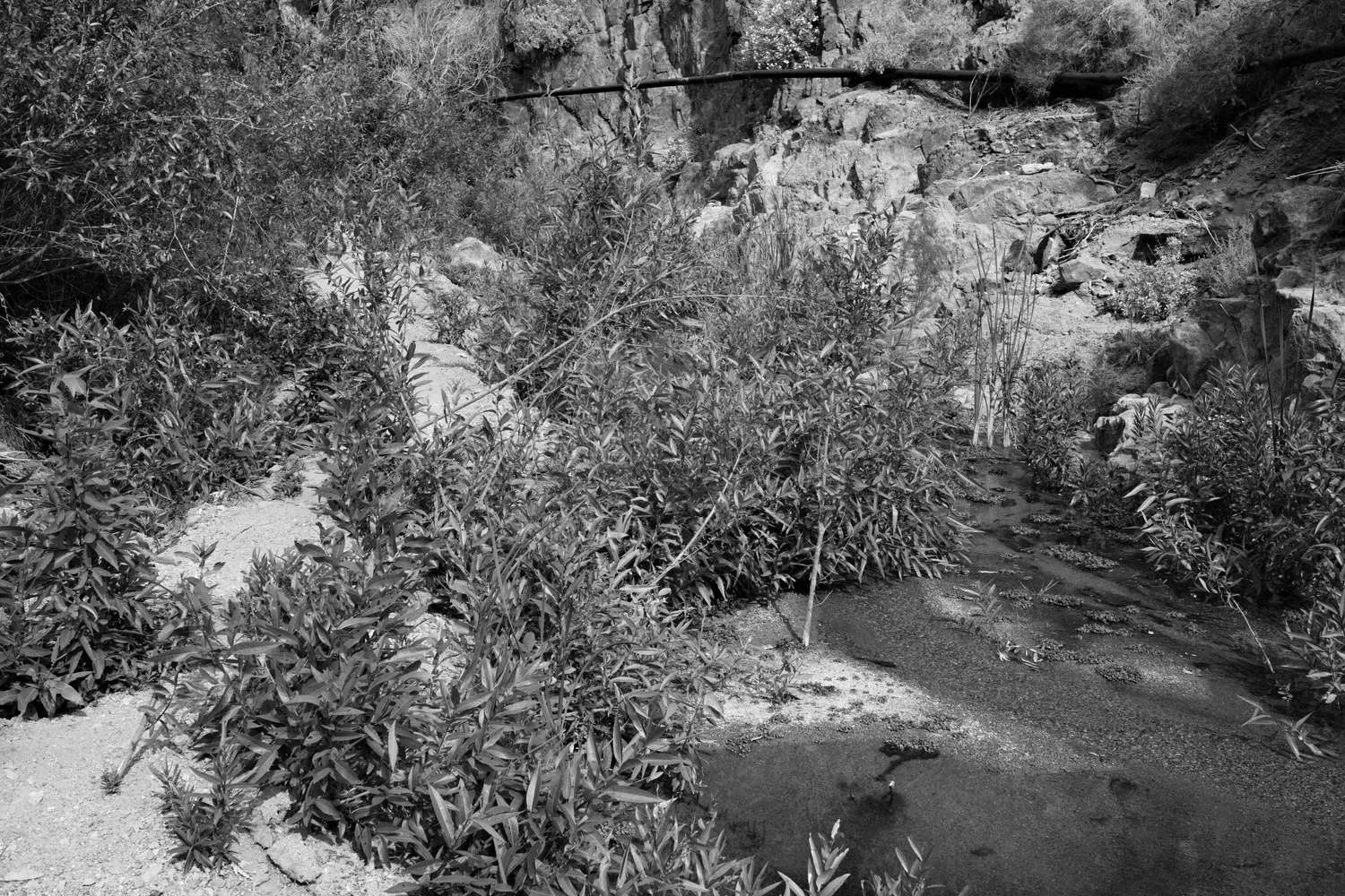
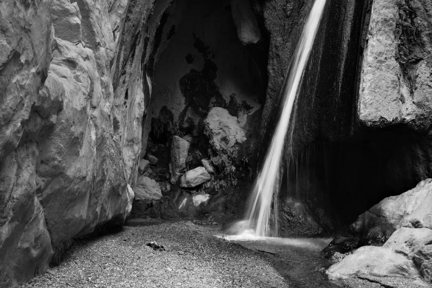
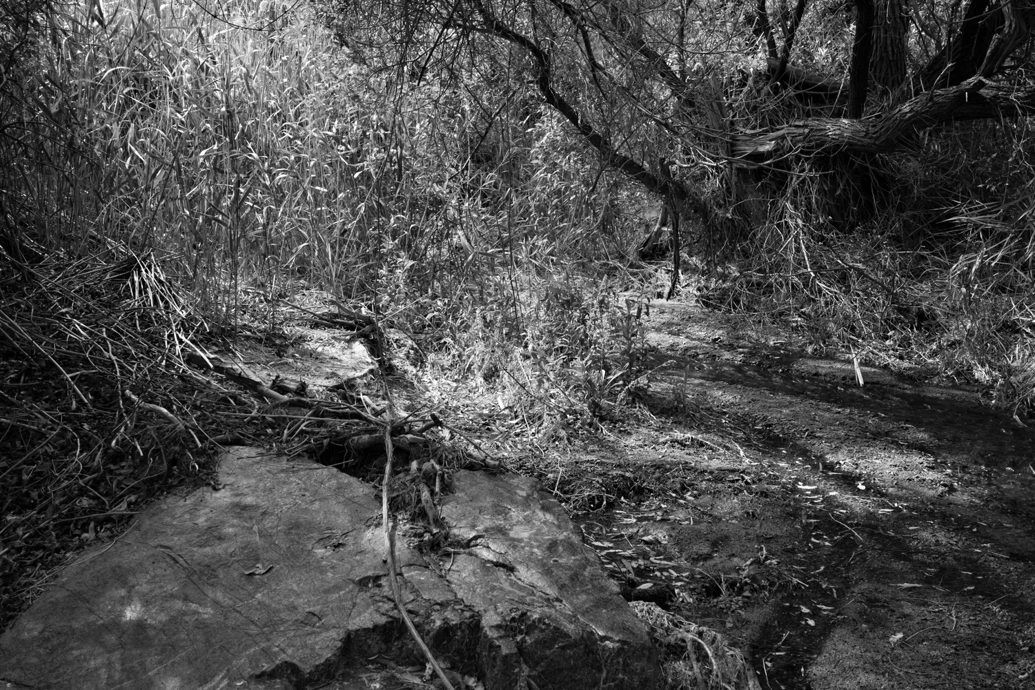
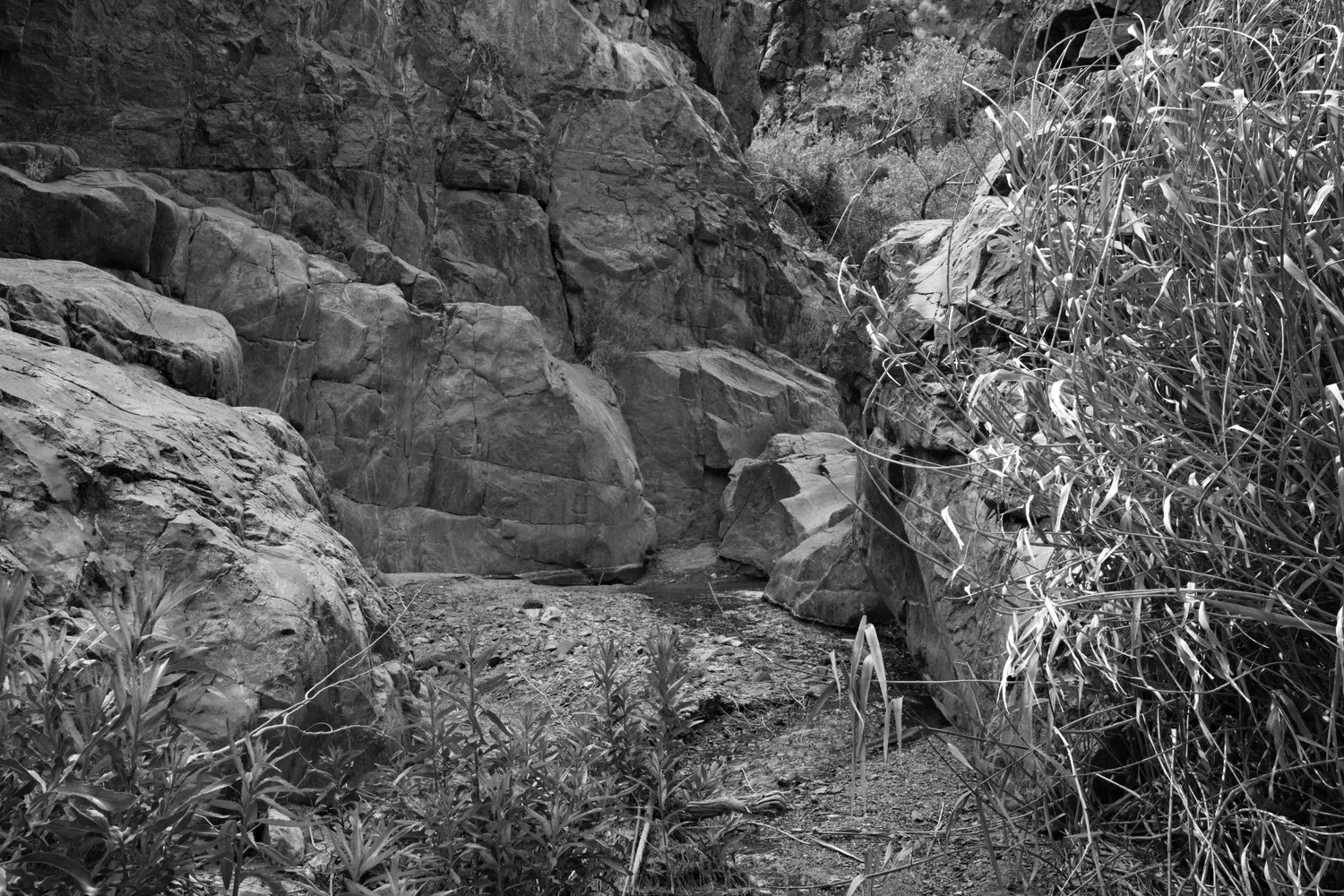
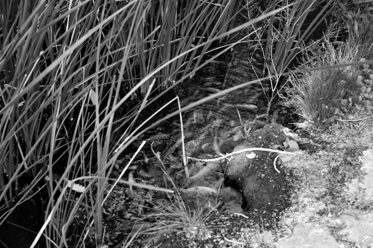
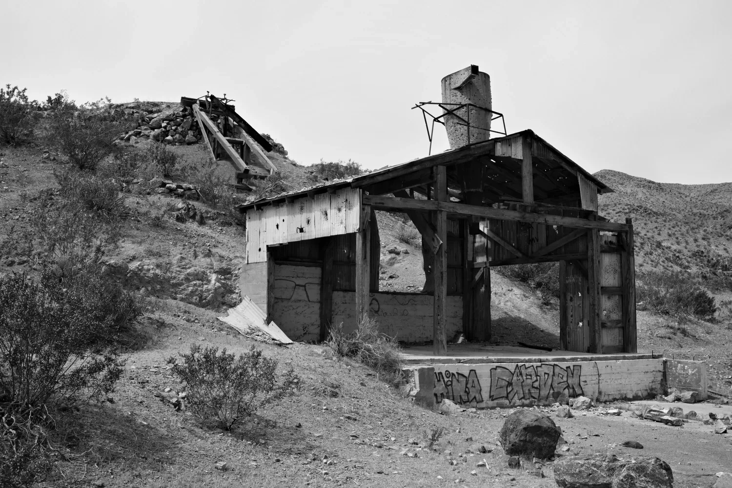
China Garden Spring, a mile or two later, boasts an odd but charming assortment of trailside curiosities (the bar is low): an abandoned building for processing zinc ore from the mines, a multicolored sunrise painted on a small boulder, and a small but heavily populated koi pool. Yep, fish in the desert. A nearby 5-gallon bucket contains food pellets and a trail register. I take some photos, leave an entry, and continue on: "Hello fish! Three handfuls. 4/25"
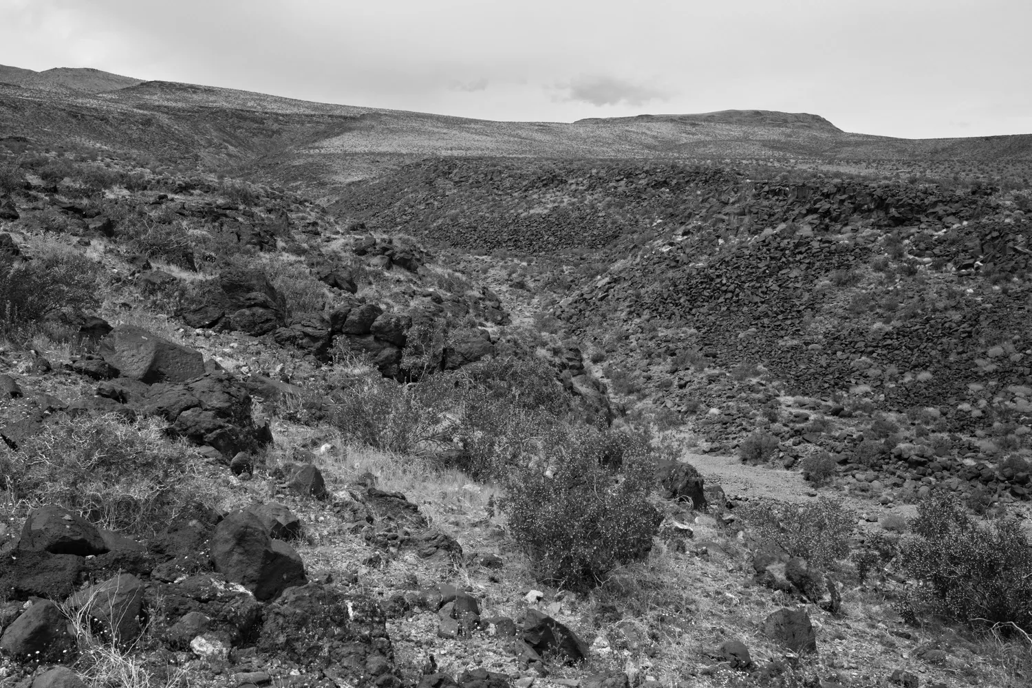
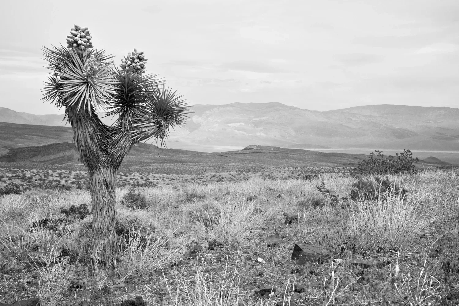
Walking up the rest of the canyon is slow. It's filled with smooth, loose river rocks of all sizes, and footing is precarious. The trail leaves the canyon and climbs up to the mesa, where the ground is covered in sharp volcanic rock, prickly shrubs, and Joshua trees. Navigating cross-country with no trail is a bit frustrating. Eventually Route 190 appears in the distance, many miles away. My instinct is to walk straight towards it, but all of the pokey things necessitate a more meandering approach.
Fortunately, the day stays cool and breezy most of the time. I dig up my half of the water cache at Saline Valley Road. It survived! I set off again walking up the road. The air starts to get chilly and the wind picks up, so I change into long pants and my wind shirt. Progress is steady but slow and a bit boring, so I turn on the Garmin and text back and forth with Leah to pass the time for the last few miles of the day.
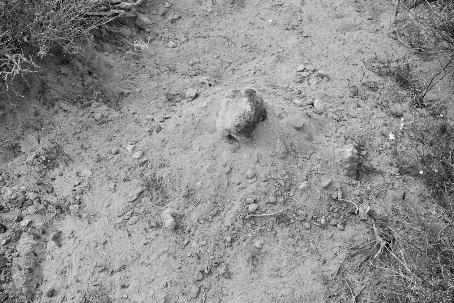
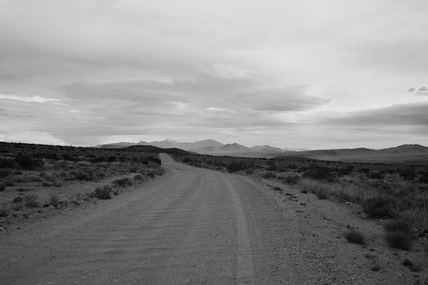
I can't find a great place to camp out of the wind, and finally set up near the road behind a half a mound of dirt. Rain sprinkles on and off throughout the evening and night, but I stay dry. The wind works in my favor and blows most of the rain over the top of the tarp. The fabric flaps in the wind and wakes me up periodically despite my ear plugs, so I don't get great sleep.
4/26
The morning is cold. I do everything I can from within the comfort of my sleeping bag: fixing breakfast, blister maintenance, and packing up. I'm glad I packed a pair of thin gloves to keep my hands warm. Finally, there's nothing left to do and I get out and pack my sleeping bag up and start hiking. My achilles both hurt pretty badly, but after Tylenol and fifteen minutes of walking the pain is reduced to a dull itch. I stop to read the lone informational plaque about Joshua trees. I learn that they are called "lilies of the desert". This will come in handy in a crossword puzzle in a month or two. Two big SUVs pass me going the other way on the dirt road, and I wave. These were my neighbors from Panamint Springs campground two nights ago.
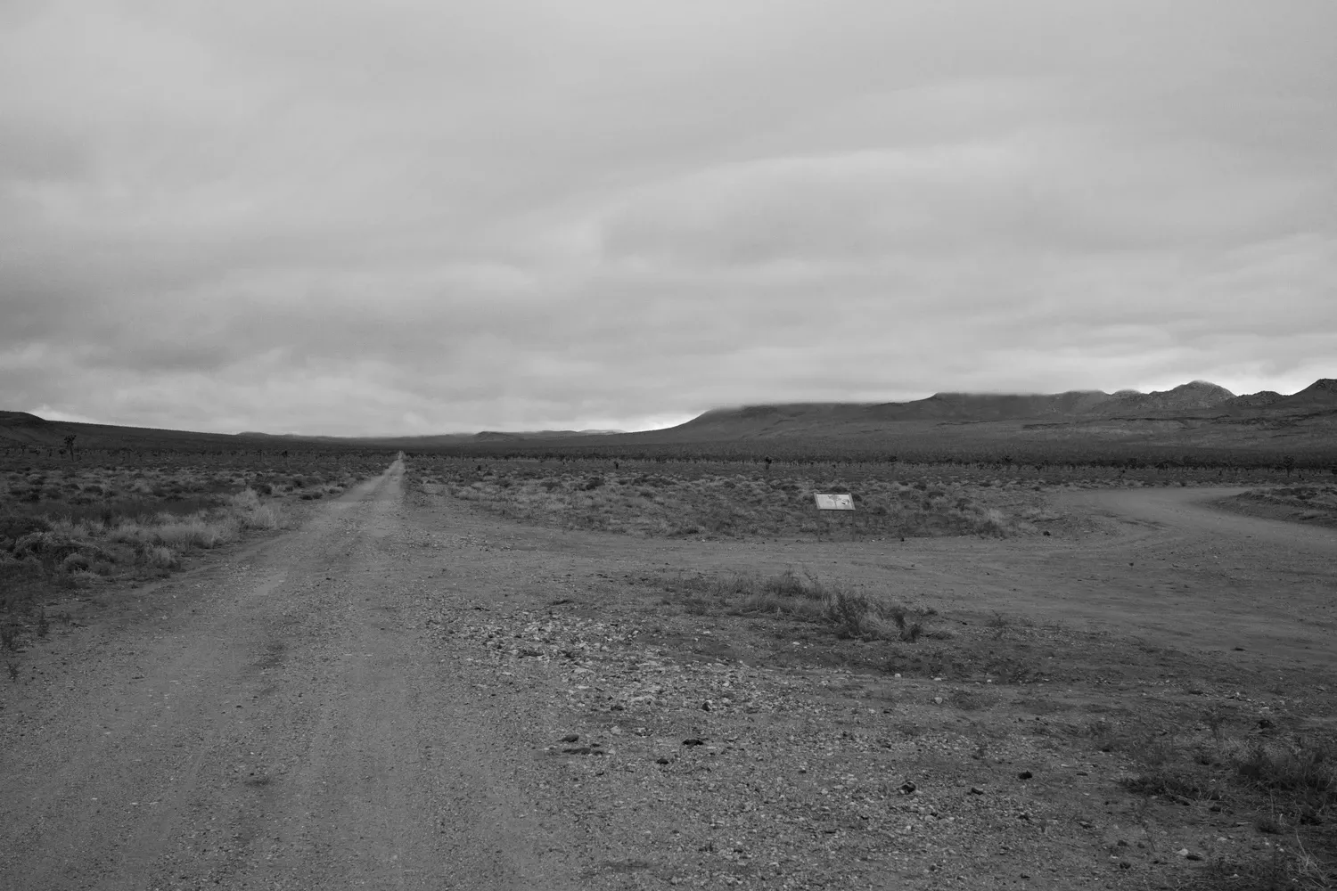
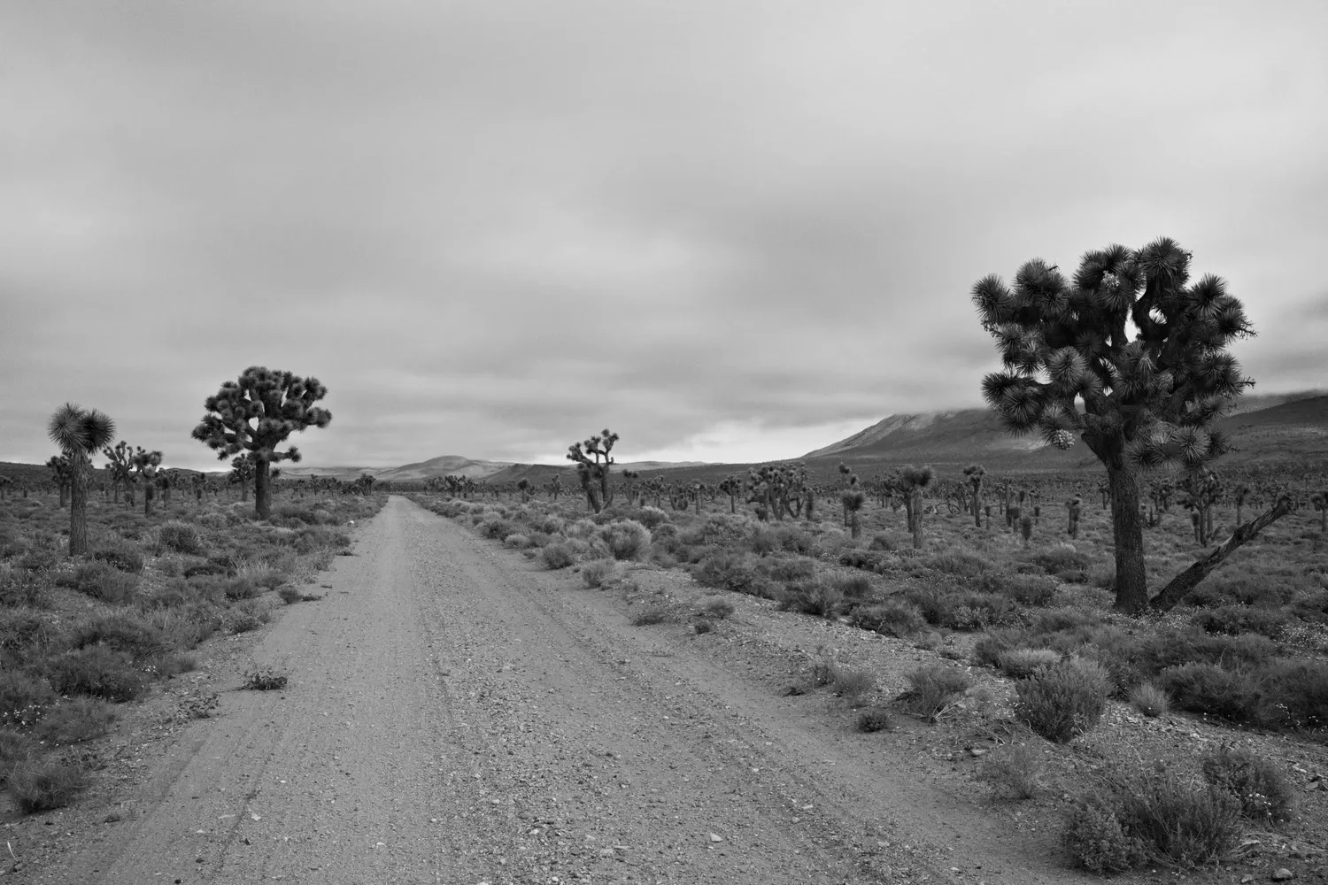
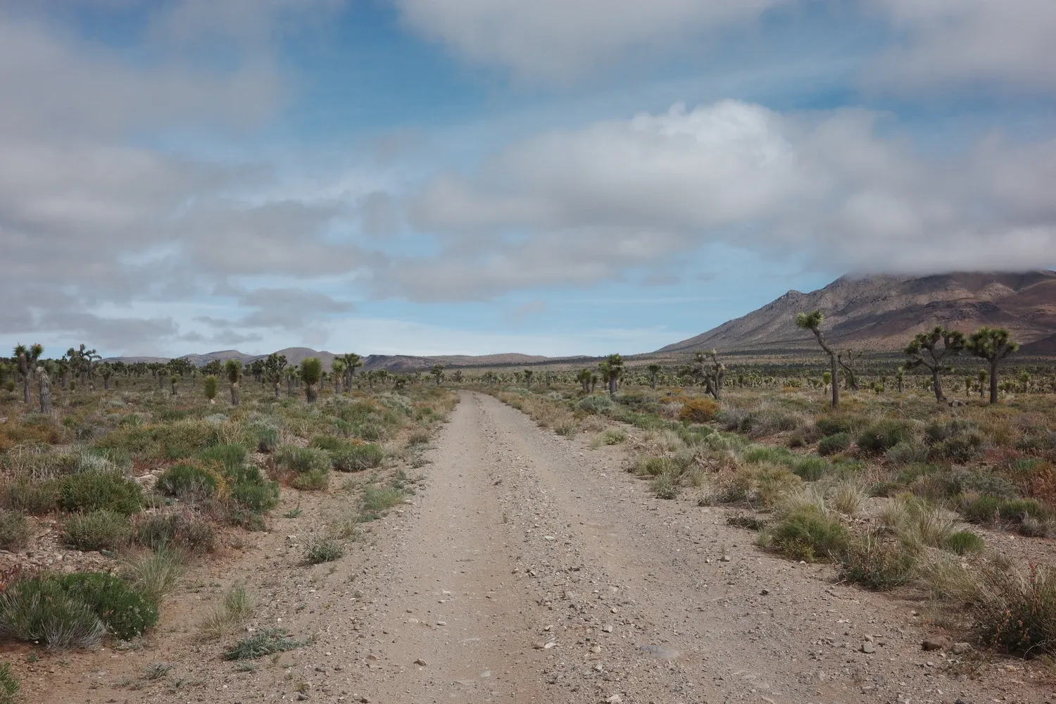
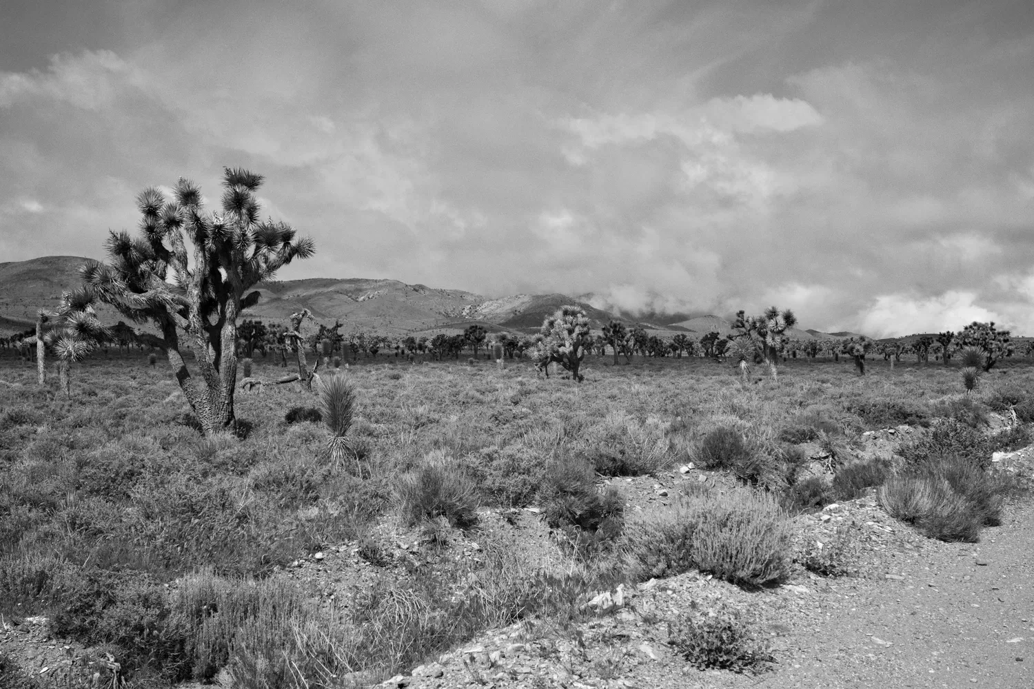
I trudge along the dirt road, breathing in the fresh rain and the Joshua Tree forest. Gentle humidity, the smell of soil and a few blooming plants... I close my eyes for a moment and pretend I am in a florist's shop.
I make a note to identify a small black and white bird perched on top of a Joshua tree. (Note: I have a grainy photo that will never help me find out what it was. Alas.)
The valley is cool and gloomy at first, but slowly begins to warm up. Patches of blue sky peek through to the north and south, and for brief moments I can see my shadow. The weather is ideal: not too hot, not too cold. I'm trying to figure out the best course of action for my water cache. I have four gallons which feels like more than enough. Do I dump some out knowing that I probably won't need it, or hold on to it just in case?
I do a mix of both - drinking as much as I can while I walk, and also pouring a little out here and there. By the time I arrive at the junction of the Cerro Gordo alternate route, the gallon jug in my hand is about half empty. I dump some and chug the rest with electrolytes. Nine liters to last me the next thirty miles, wheee!
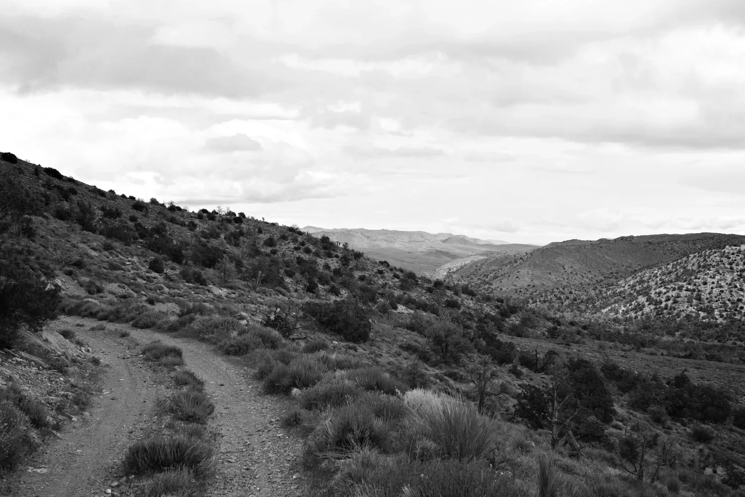
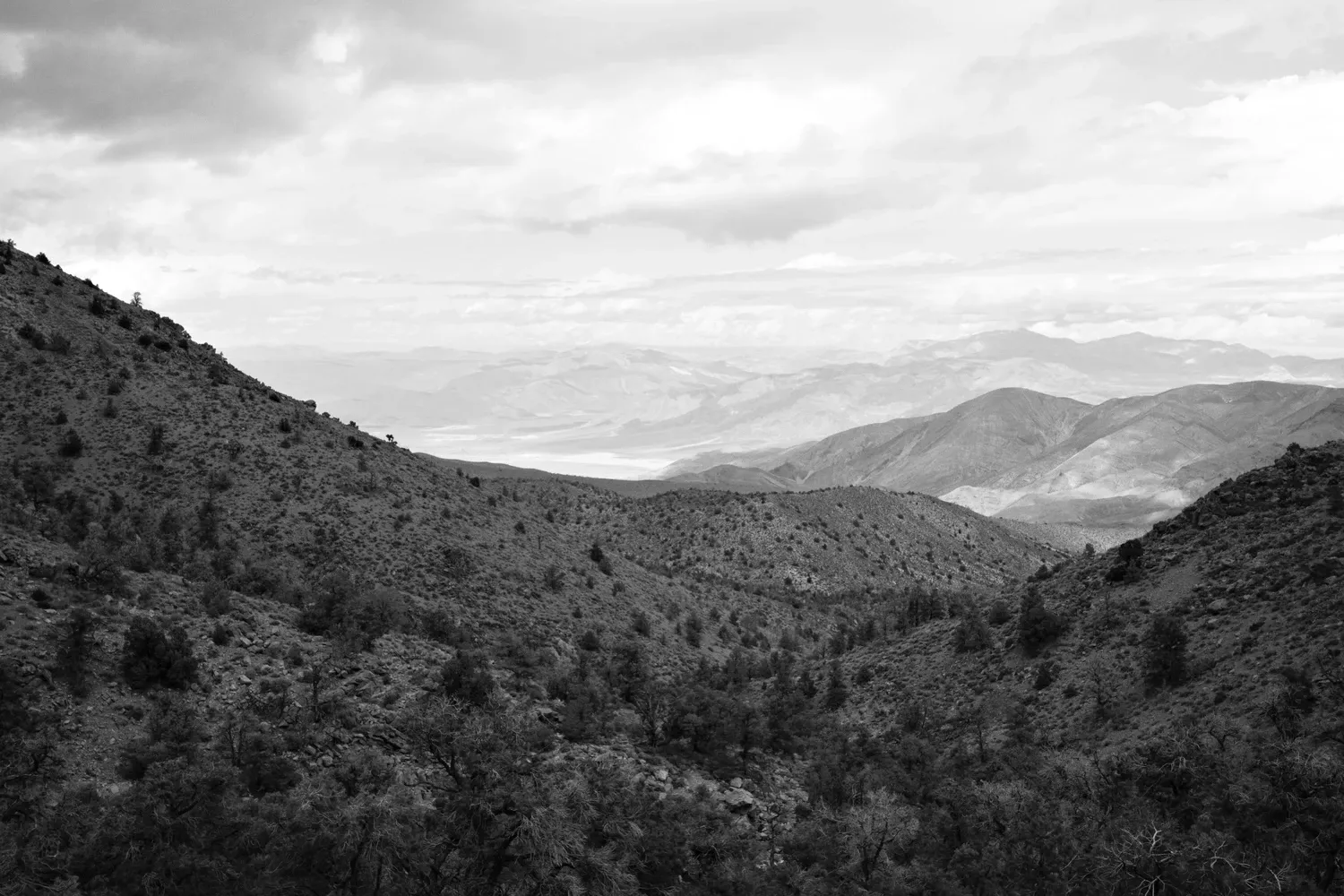
The alternate route up to Cerro Gordo snakes around large hills for a mile or two, before heading straight up them. It gets steep and rocky quickly. High clearance vehicle definitely required! Snowflakes start to fall, but only lightly. The cool weather is still a blessing. The road/trail improves gradually. Switchbacks relieve some of the grade, then it narrows into a pretty nice single track near the top. The views down to the Saline Valley below are breathtaking, as is the giant thumb-like promontory that looms overhead when the trail reaches the top of the ridge and flattens out.
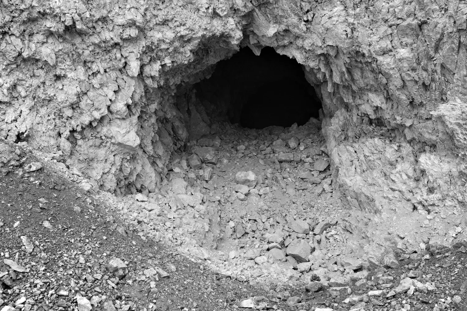
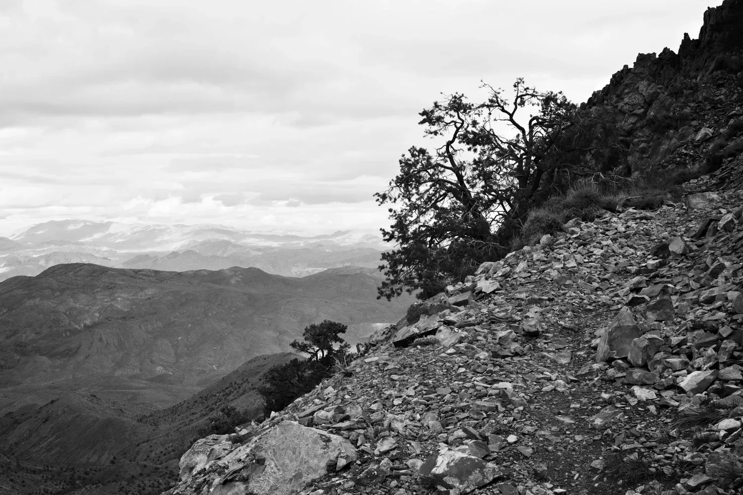
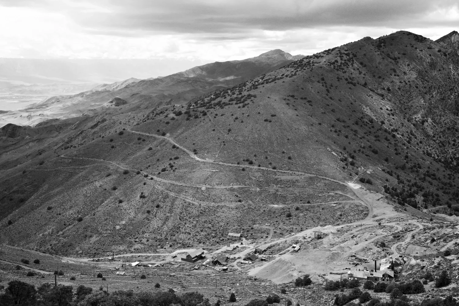
The landscape has changed entirely. I'm surrounded by huge peaks and smooth, rolling green hills that are dotted with stands of pines, and crisscrossed by dirt roads. I navigate around Cerro Gordo peak and down to the ghost town below. It's late in the day and nobody seems to be around, so I walk on through and keep going. I miss a turn and start heading down the Swansea Road, then have to turn around and regain a ton of elevation.
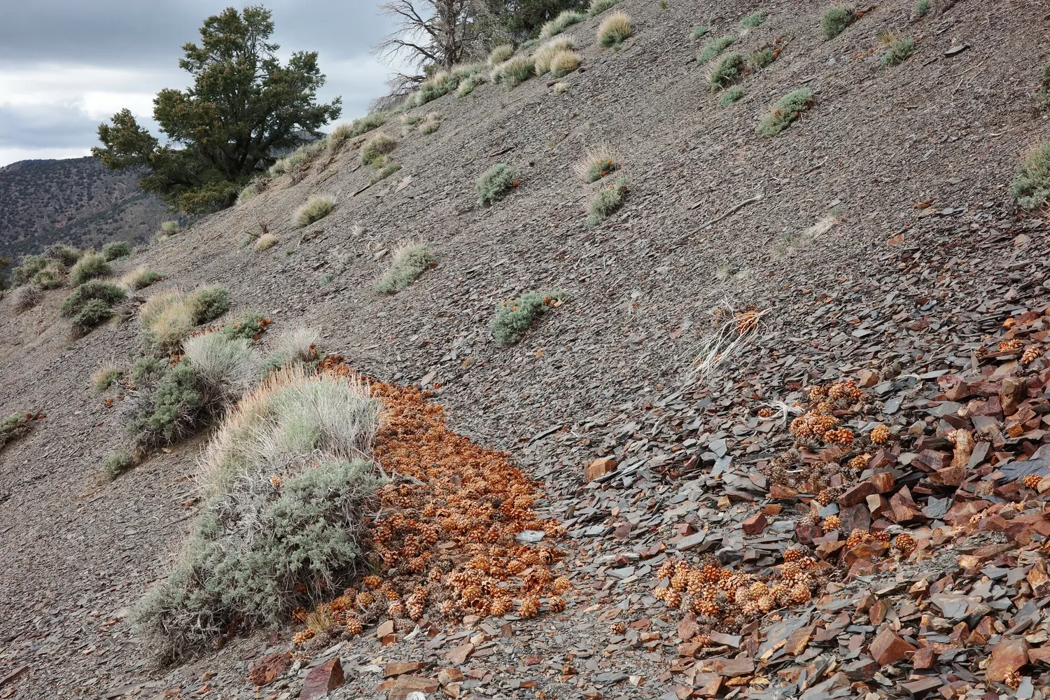
The trail follows a slightly sketchy bench cut into the west side of the ridge for a few miles, across lots of loose shale (slate?). The consequences of a fall wouldn't be terrible in most places, but it's late in the day and having to watch my footing so diligently feels like a chore. An old abandoned mining building looks like a tempting shelter, but upon further inspection the corrugated metal roof flaps in the wind even louder than my tarp. I press on.
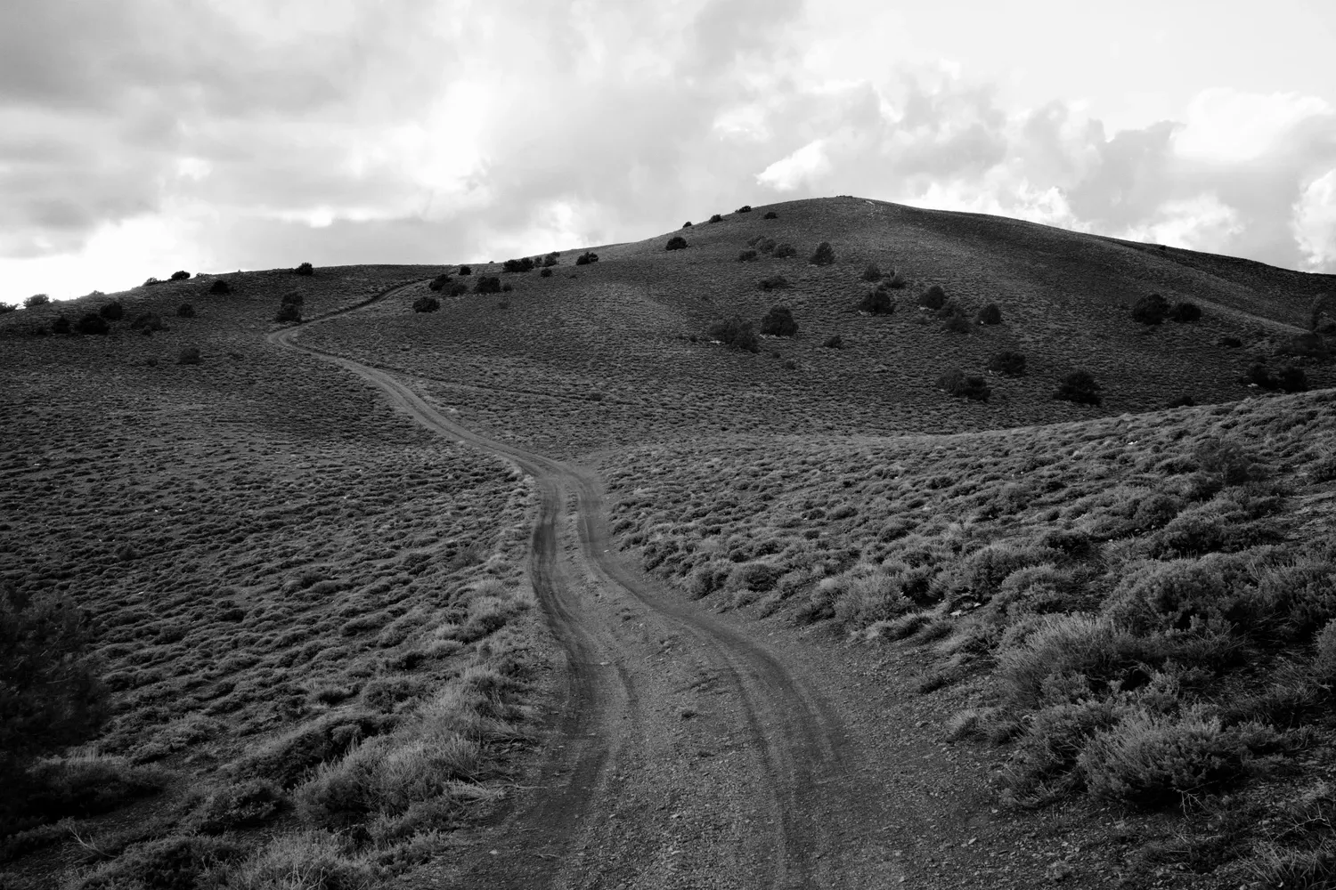
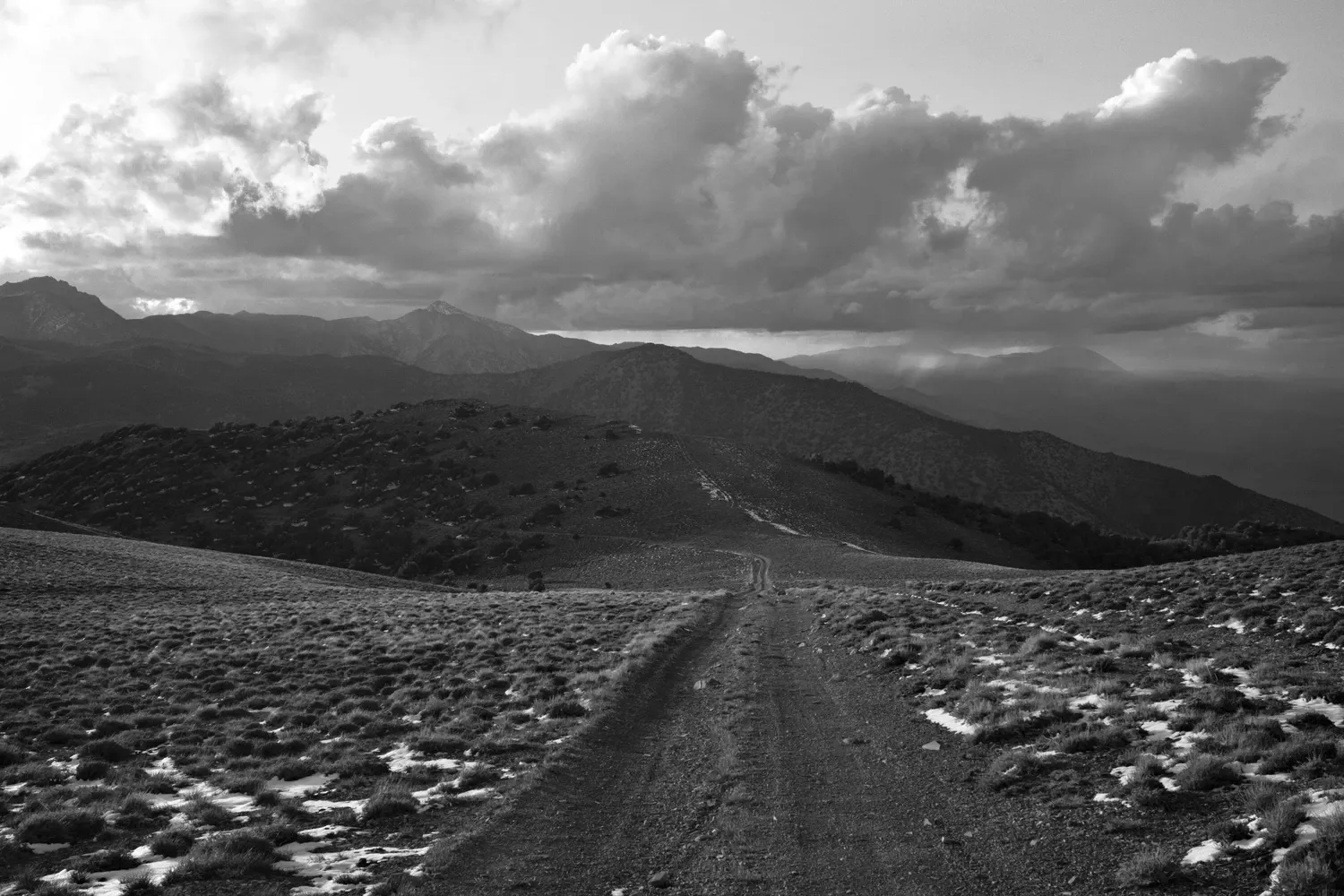
The trail rejoins the 4x4 road, which is now comically steep. The road winds along the ridge, somehow still climbing up and up for another mile or two to Mexican Spring. I don't check the water flow - I'm in too much of a hurry to venture off the trail. It's late and is getting pretty darn cold and windy on the ridge. I decide to gamble and see if the old Salt Tram operator's cabin is unlocked and habitable. The last two miles are a grind, so I try all the methods to make it pass quicker: counting steps, trot-jogging, forced daydreaming. Yet I still have to stop and marvel at the views of the Saline Valley to the east. Wow! The mountains drop off so steeply that it feels like I'm looking straight down at the valley, rather than out at it.
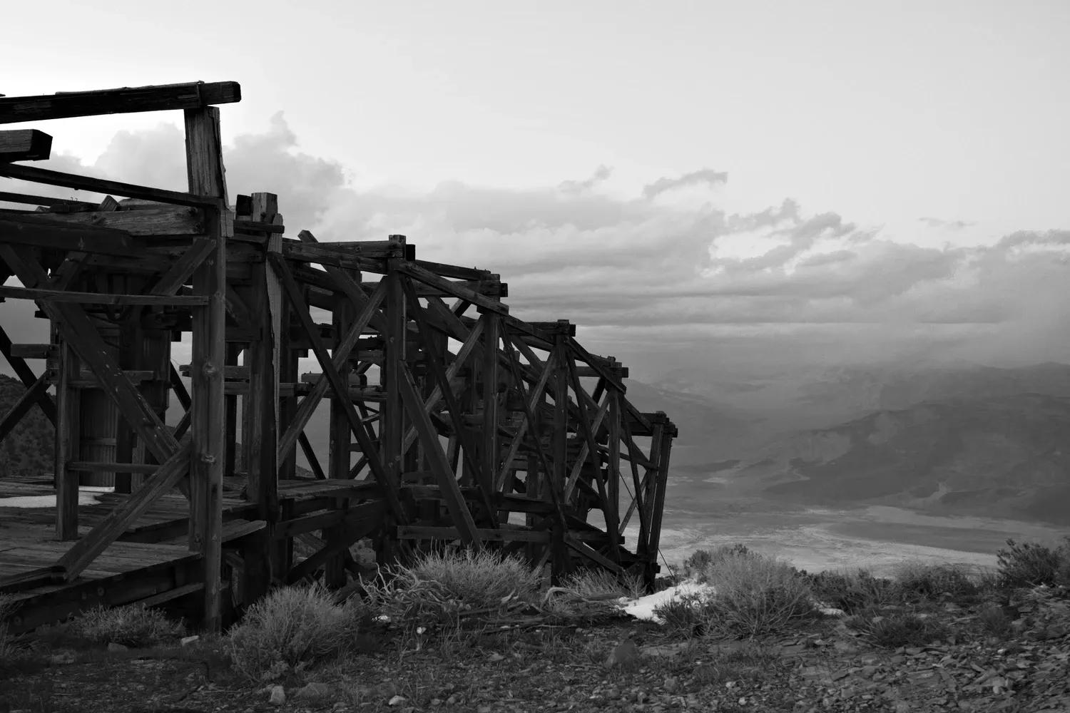
Finally, the cabin comes into view. The salt tram remnants are cantilevered out over the east side of the ridge, dangling precariously into space. Just looking at it gives me a sense of vertigo. The cabin is open (hooray!) and is being restored, and thus it is relatively tidy. I debate which room has the least mouse poop, and settle on setting up my sleeping pad and bag by the open door. Ventilation yay! My phone has one bar of service so I text Leah, revelling in not having to do the Garmin tap-tap-tap typing dance. I am thrilled to have a solid shelter. There were some flat spots on the ridge but it's very windy and cold up here, making it a tough section to camp on. I examine my feet for new developments (blisters on the side of my big toe, and the side of my heel!), and try not to fall asleep while dinner cold soaks. I fuss with positioning some leg and lumbar supports beneath me, and zonk out.
4/27
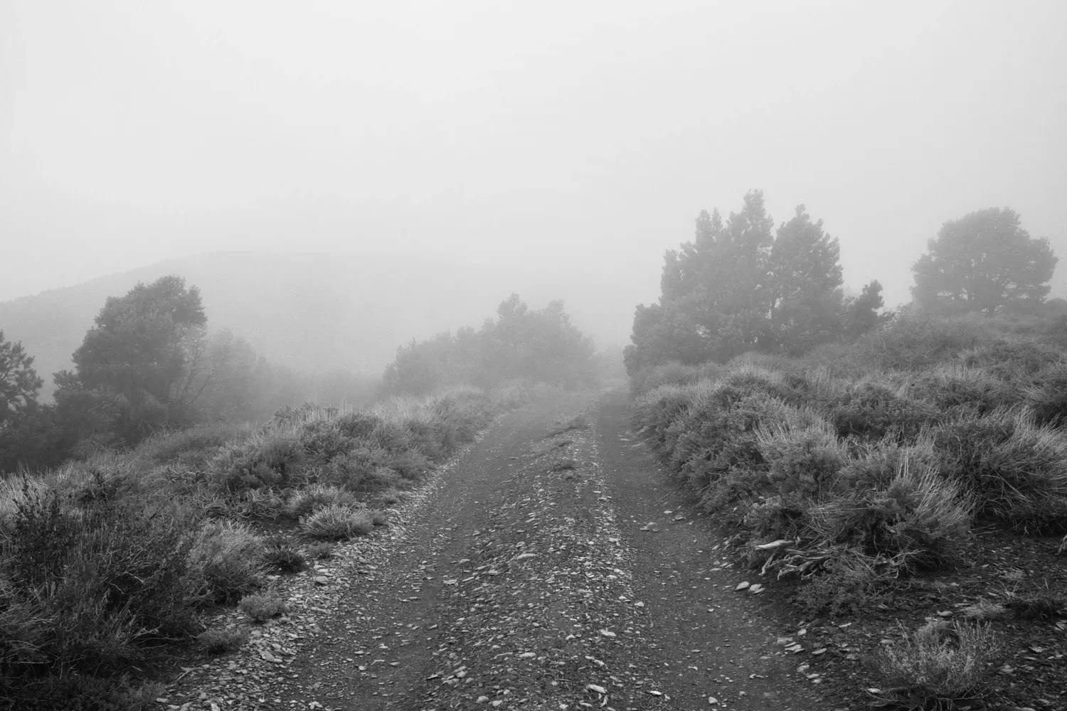
Despite already being atop the Inyo mountains, the morning somehow begins with another climb. But the walking is smooth and the rolling hills make it scenic and moody. The weather is still chilly. I am literally hiking in the clouds, which obscure and reveal the landscape, making the view change by the minute.
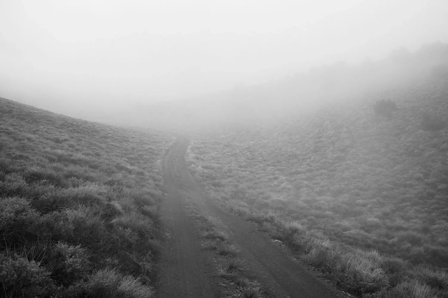
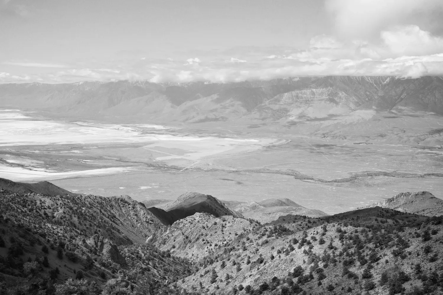
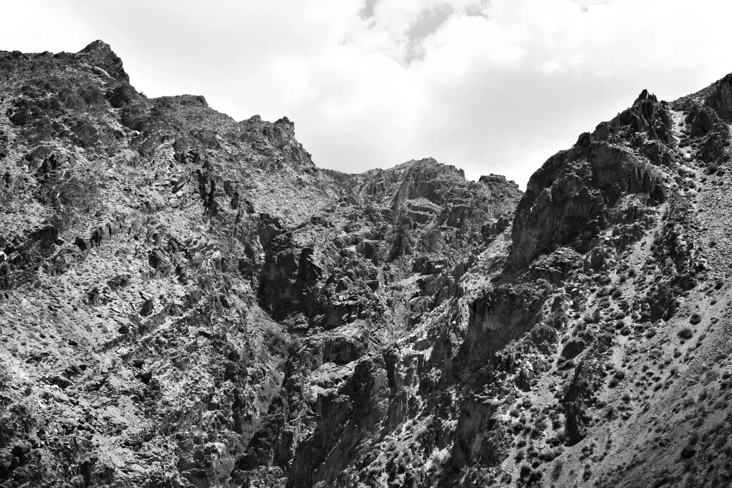
The route departs the double track and starts off trail, down toward Long John Canyon. Mental effort replaces physical effort as I try to spot the next rock cairn and follow the faint trace of the trail down the steep and loose hillside. I make one big major deviation but catch my mistake in time - the canyon gets narrow and steep but the trail skirts high around it. The final descent to the mouth of the canyon is especially steep and loose, and seems to be a free-for-all as far as routefinding goes. I find a trail and stick to it, even though it seems to be way off the GPS route. They must all go to the same place, right?
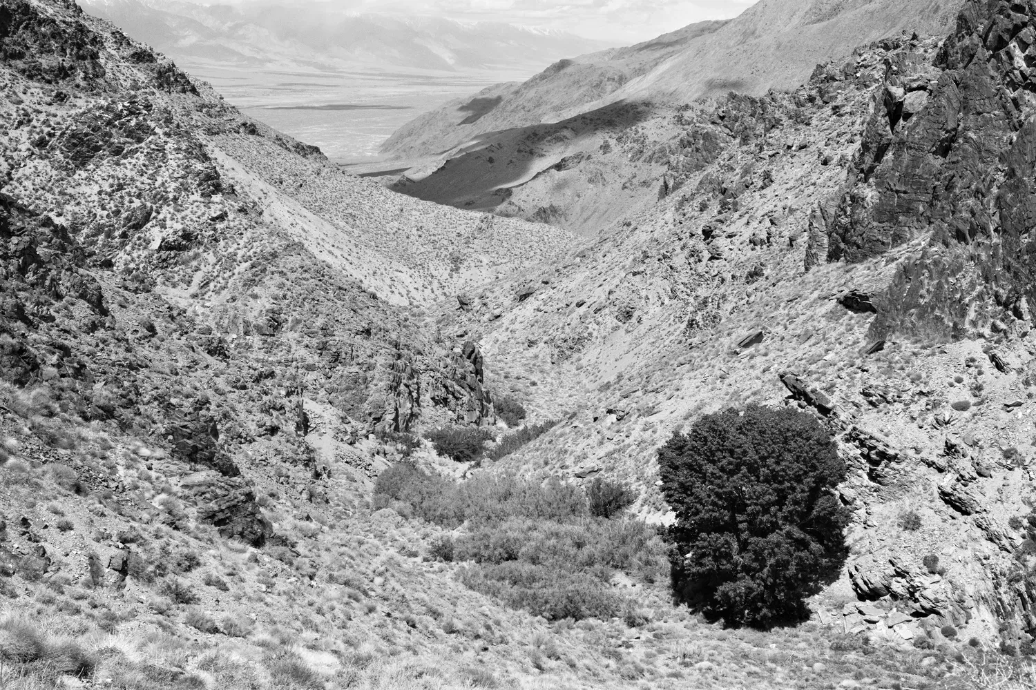
I cross paths with a family who is hiking in to the mouth of the canyon. We chat for a minute, and the dad explains that they all go out for a hike every day on his lunch break from work. His youngest daughter asks me: "Umm, did you see any snakes?" I reassure her I haven't seen any on my whole trip, only an abundance of very fast lizards.
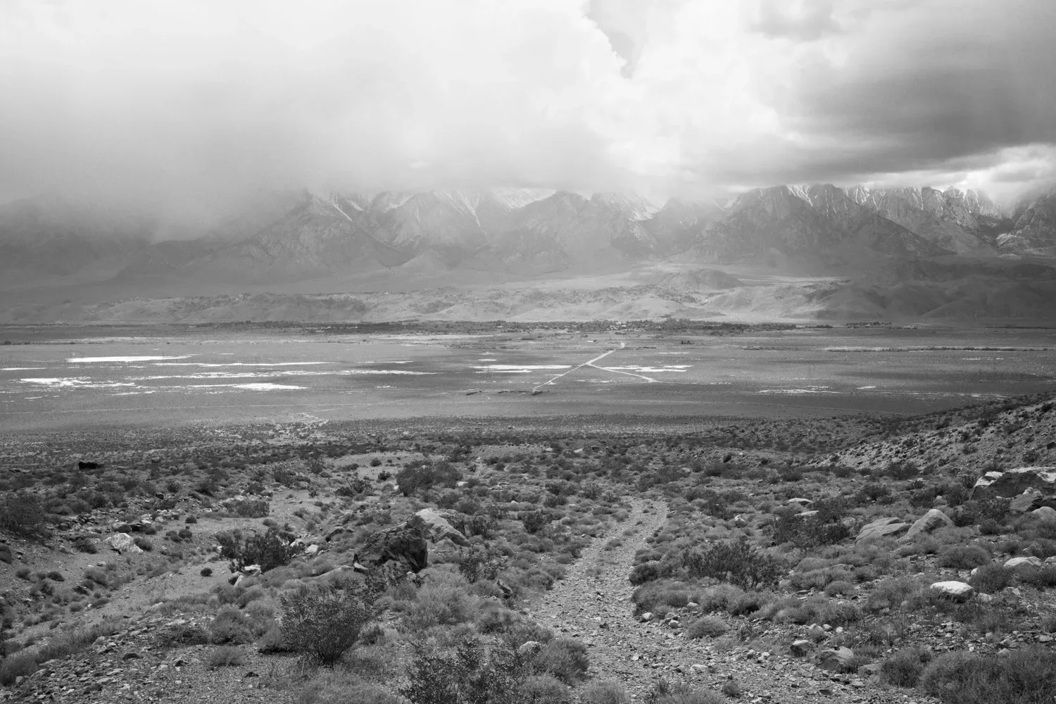
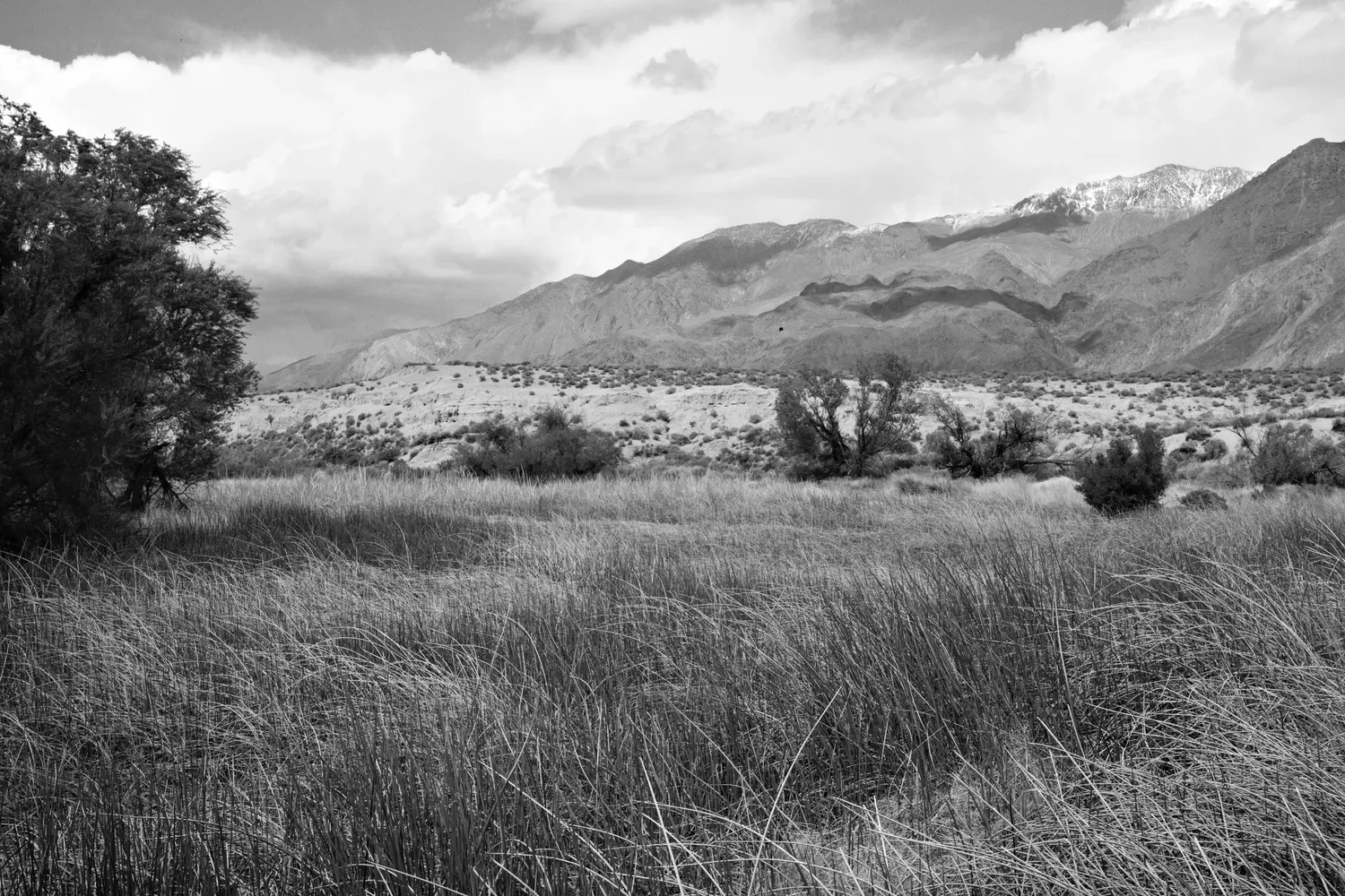
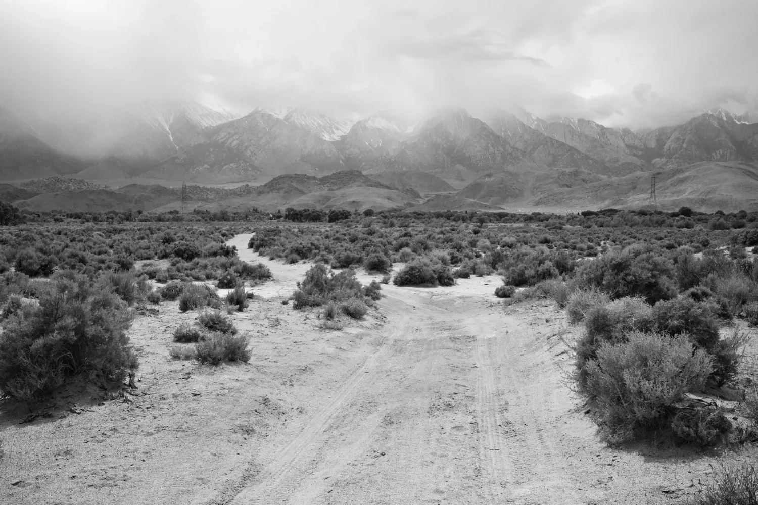
I meander through the outskirts of Lone Pine, sticking to dirt roads and the liminal landscape for as long as I can. Cars putter along on unnamed dirt tracks slowly and suspiciously, idling for long periods of time and then rolling away upon my approach. I wonder what they're up to. Looking to dump junk? Nefarious dealings? I stop in town at the Elevation Sierra Adventure store and chat with the proprietor about Mount Whitney conditions. I learn that the trail along the crest has several sections that are ledgy, and everything is melting quickly. It sounds like it would require hard boots, crampons, and - more importantly - more mountaineering experience than I have. The owner leaves me with the simple suggestion to just "Do what you can. Death Valley to Iceberg Lake is still a pretty rad hike." I remind myself there doesn't need to be anything magical about the start and end, and come to terms with the fact that I'll be cutting the "highest" out of the lowest-to-highest route.
I head to my the Dow Villa hotel, where I've splurged on a room for the night. A PCT hiker sitting outside strikes up a one-sided conversation about the state of geopolitics, the environment, the meaning of beauty, other hikers, etc. It's more than I have the energy for, but I smile and nod and we part on good terms. I find my car in the overflow parking lot and pull out some street clothes, along with cold-weather gear for the Mount Whitney trail.
I shower (ahhhh!), and call Leah for a phone date. Next: blister maintenance. I unpack my bag and spread my gear across the hotel room floor and furniture. My intermittent nausea from late afternoon has passed and I am finally hungry now. I responsibly stop at the grocery store before it closes, and obtain more first aid supplies for my feet. And an orange, because I am craving something fresh. Like a real fruit. I cross the street to the only restaurant that's still open. The friendly server knows all about low to high route, of course. I enjoy a beer, eat a huge burger, and gaze at the John Wayne photos covering the walls. I return to the hotel, do some packing, and fall asleep in a giant bed with too many pillows.
4/28
My sleep in a real bed is exceptional and dense. I'm up early out of habit, and also because light is pouring in through a small crack in the curtains that I didn't shut tightly. I pack my bag and go to the Alabama Hills Cafe. The "Open" sign is unlit, but I poke my head in and the place certainly is. Great food, endless coffee, and bakery aromas. How could I forget to do the crossword on a morning like this?! Instead, I people watch and listen to the employees gossip gently about those who come and go, and chat with some of the locals. Oh, small town interactions. Makes me want to hole up somewhere like this. Also, fruit salad never tasted so good (in contrast to my just-add-water fueled diet of this past week).
The walls are adorned with paintings of the various rock formations from the Alabama Hills, and their names. Visit them all! I am skeptical that two stacked mirrored trapezoids constitute a cougar, but I'll find out for myself soon enough. Rather than walk along the paved road up to Lone Pine Campground, I've decided to take the alternate, circuitous route through the Alabama Hills and its unique scenery. It's also the site of many movie filming locations - the most notable in my opinion being the campy 1990 monster movie Tremors, which seemed to always be playing on television during my childhood.
I try to put off changing back into my dirty hiking clothes, but the time is nigh. My clean comfy street clothes go back in the car for when I return, along with my warm weather hiking gear and some unwanted food that I've been carrying all week (looking at you, gross sugary tangy southwest snack mix from Walmart). I hike down main street with my snowshoes and ice axe on my pack in the heat, looking like a weirdo. I'm sure the locals see it every day.
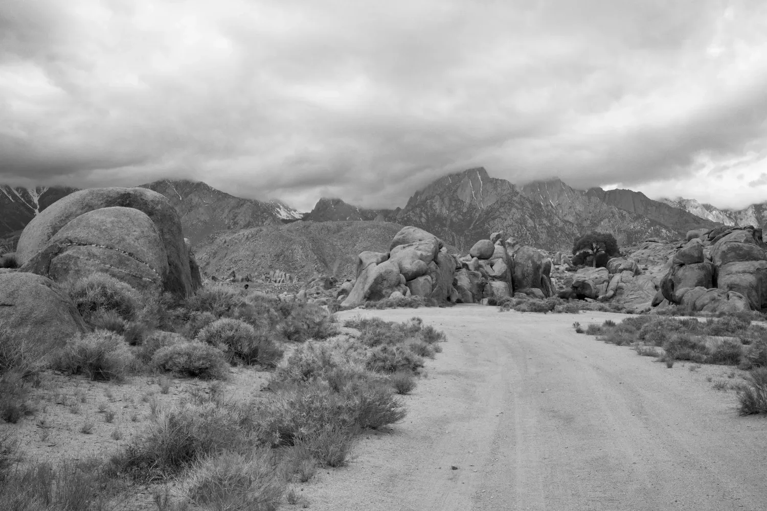
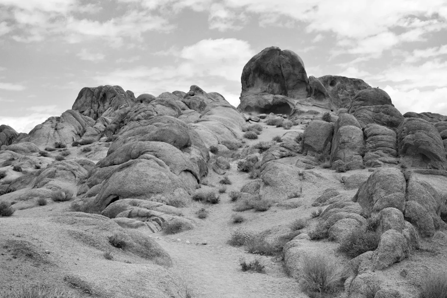
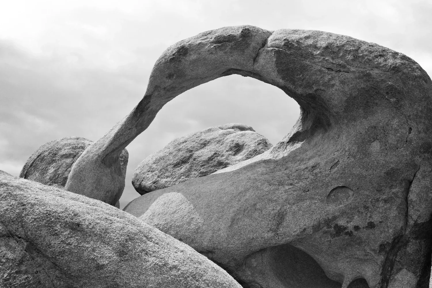
I quickly leave the main road for the Alabama Hills Trail that parallels it. I come upon a family (or two?) with lots of young boys shooting BB guns among the rocks. Their mother seems outdoorsy and asks about my snowshoes. The kids are very talkative and friendly. One asks "why, why, why" am I going to hike up the mountain in the snow. Great question, kid. Farther up I detour along the Alabama Hills Road, home to lots of other tourists and camper vans. I take a detour from my detour to hike the short Mobius Arch loop, with everyone staring at my snowshoes, decidedly out of place in the hot, dry and sandy environment. I peel off and follow the route cross country through a long streambed, then circle through the hills and some more gratuitous washes, before joining up with the main Whitney Portal road again.
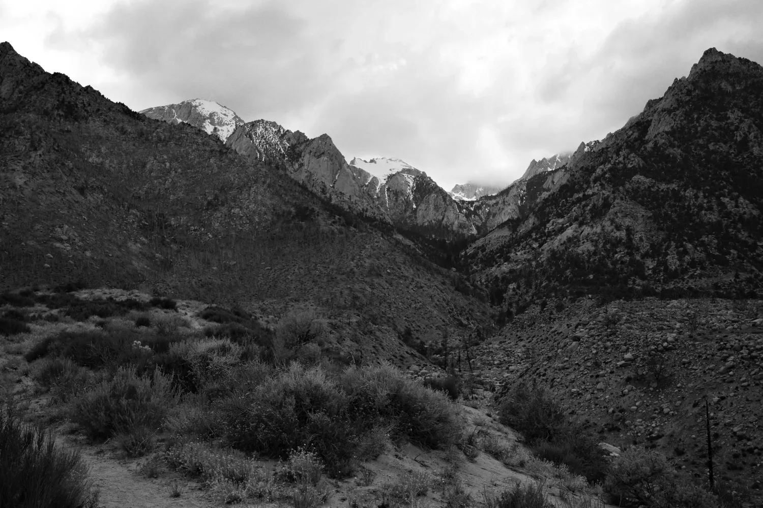
The hike from Lone Pine Campground to Whitney Portal is spectacular. It was originally part of the Mount Whitney trail before the portal road was built, and was recently rebuilt following a big forest fire. The relatively flat landscape of the Owens River Valley ends here, and the bench cut trail climbs steeply up the canyon above Lone Pine Creek. Being on the south side of the canyon, it offers some shade. I meet a German woman hiking on the trail. She shares her enthusiasm for cycling; how she perpetually returns to the southwestern US for the open landscape and relatively quiet roads. She is positive, and always smiling. She sets me in a good mood.
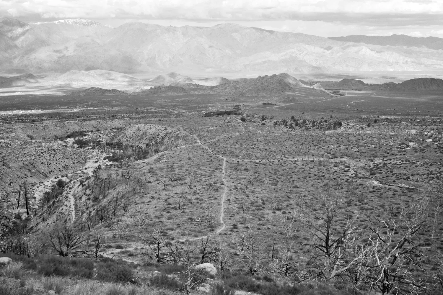
I reach the Whitney Portal and stop in at the store before it closes. Two older gentlemen are closing up shop, but make plenty of time to shoot the breeeze and crack jokes with me. They provide a lot of good information about the trail conditions and what I should expect. One hands me a couple of plastic food bags to wear between my shoes and socks - "Texas GoreTex!" he exclaims.
The portal road has just opened for the season, so the campgrounds are still mostly uninhabited. I take my pick of sites next to a roaring creek with towering trees and huge boulders. Steep canyon walls loom on both sides of the creek. The moon illuminates one while the shadow of the other wall slowly crawls down it. I dutifully pay my camping fee at the kiosk with inexact change. I eat dinner at a makeshift wooden table with a camp stove. True luxury! I'm excited but still anxious for tomorrow.
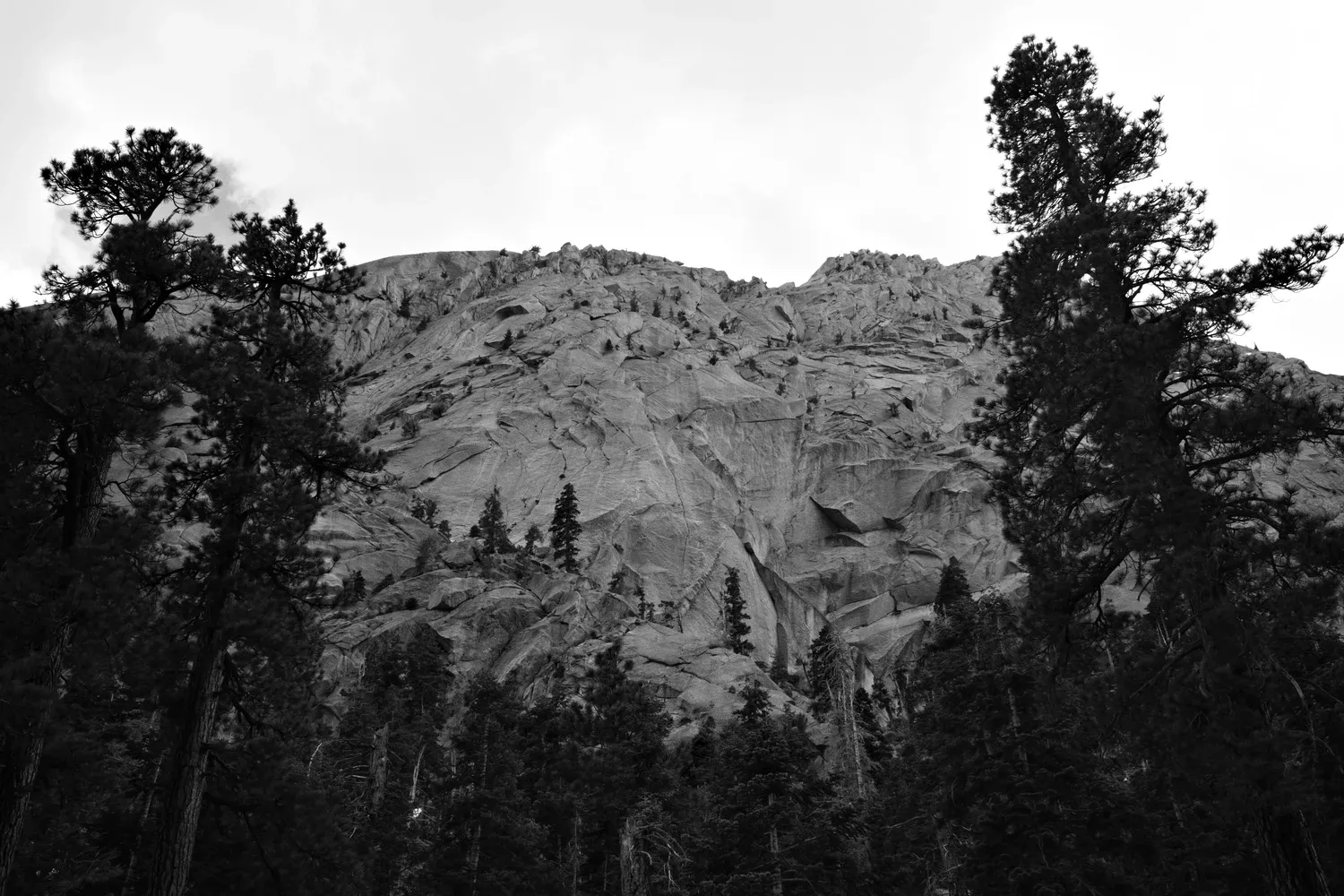
The trip is starting to feel like it's over, all of a sudden. Maybe it's just the rosecolored glasses of nostalgia provided by the comfort of the last two nights (hotel, air mattress, hot dinner). Reminder to self: The whole trip was not like this.
4/29
A car alarm goes off at 2:17 a.m. Who the heck can't figure out how to use their key fob, I wonder to myself?! Are they leaving early to summit? I roll over and drift back off to sleep.
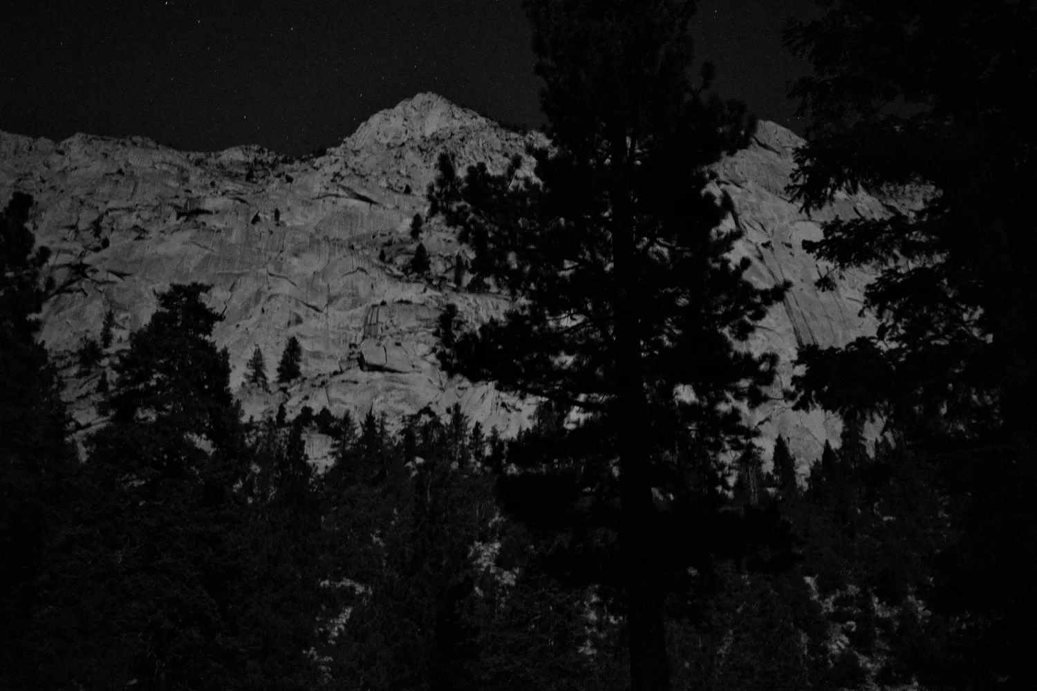
I wake up a few hours later, eat breakfast in dark, and dress my feet with bandages and tape. I pack some things for the day hike and stash others in the campground bear box. I pack my fears and bring way too many snacks and too many warm clothes. Oh well. But what if I have to weather a 24 hour storm on my 4-mile jaunt? Better safe than sorry, I suppose.
As I cross the parking lot to the trailhead in the dim morning light, I see the door frame of a Subaru peeled off and trash scattered all over the ground. Oh. I guess it was a bear that set off the car alarm...
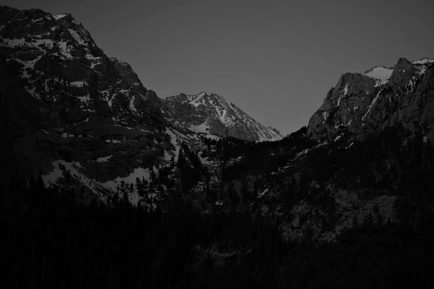
I follow the main route up some easy switchbacks as the sun starts to peek out over the Inyo mountains, then I turn off after a mile to follow the mountaineer's route. It's immediately steeper - going up, up, up through loose dirt and pine forests. Navigating up the Ebersbacher Ledges ("E-ledges", for those in the know) requires some scrambling and common sense, but isn't particularly dangerous. The ledges are wide and the route is mostly obvious. If you find yourself close to the edge, you've gone the wrong way.
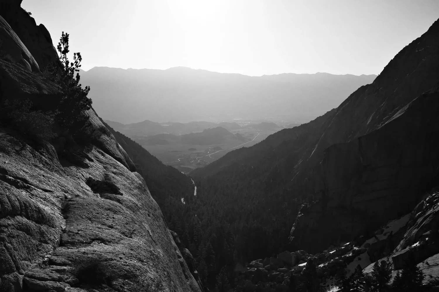
A bit more hiking and I emerge at Lower Boy Scout Lake, where the snow starts. It's still early, so the surface is still hard and crunchy and the trail is well-trodden. Microspikes are working great.
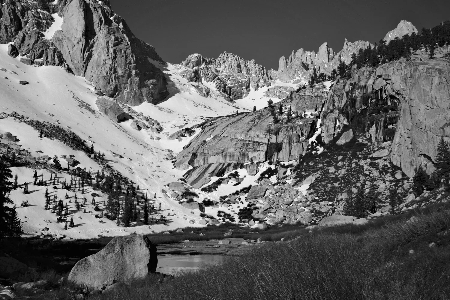
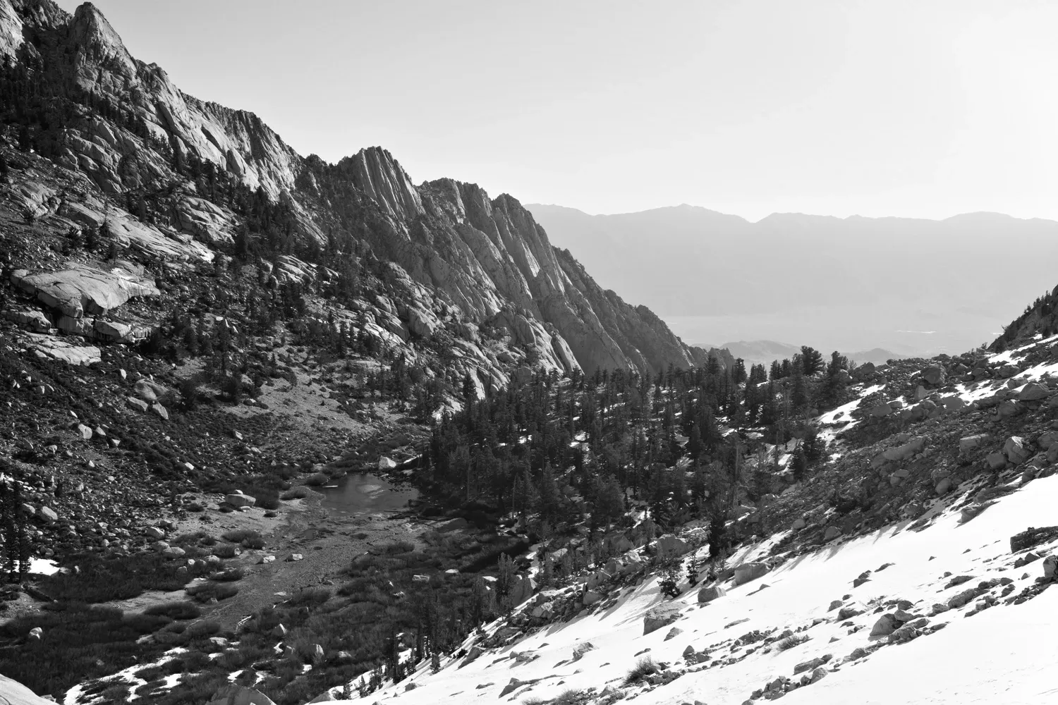
Another thousand feet of elevation and the trail makes a small detour to Upper Boy Scout Lake, where I take a snack break. A large group of young guys camped overnight here, and they are hanging out, blasting music, smoking, and talking loudly. I keep my break short and move on.
The trail climbs steeply, then traverses along the side of the basin above Girl Scout Lake. The sun is up now and the snow is softening. The trail up to Iceberg Lake is very steep, and hard to discern. Tracks lead off in a variety of directions, and there seems to be no consensus on the best route. I follow one set of tracks, which leads me up a steep, increasingly ledgy route, narrowly avoiding a small waterfall of snowmelt. Definitely ice axe terrain.
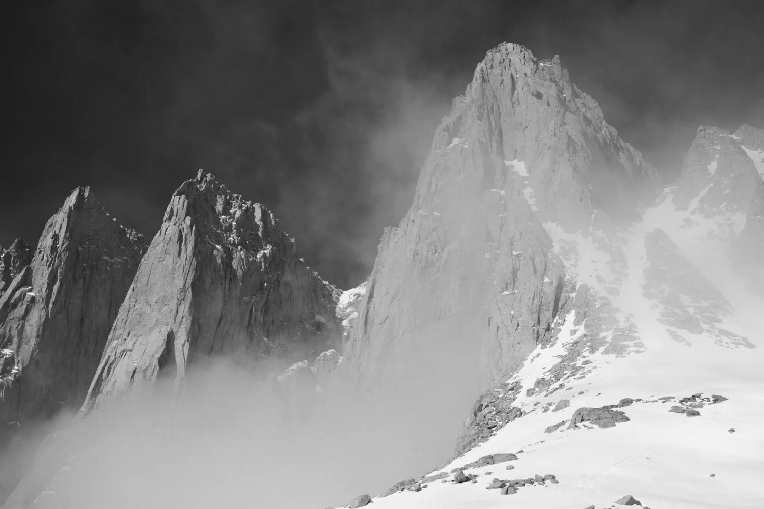
Clouds surround the basin of Iceberg Lake. I don't get a view of Whitney or other peaks above me for several minutes, but they move through quickly. I watch other hikers climbing the Notch - like ants in the distance. Some are going up and others down. It looks like a slow, single-file route. It looks very steep, even from down here. Tempting. I ponder, eat a bunch of tortillas, then decide that today is not the day. The snow is getting mushy. Maybe if I'd camped up here and had an early start. Besides, how would I even get down? My short and sweet jaunt up the mountaineer's route to Iceberg Lake is enough of a capstone on the trip for me.
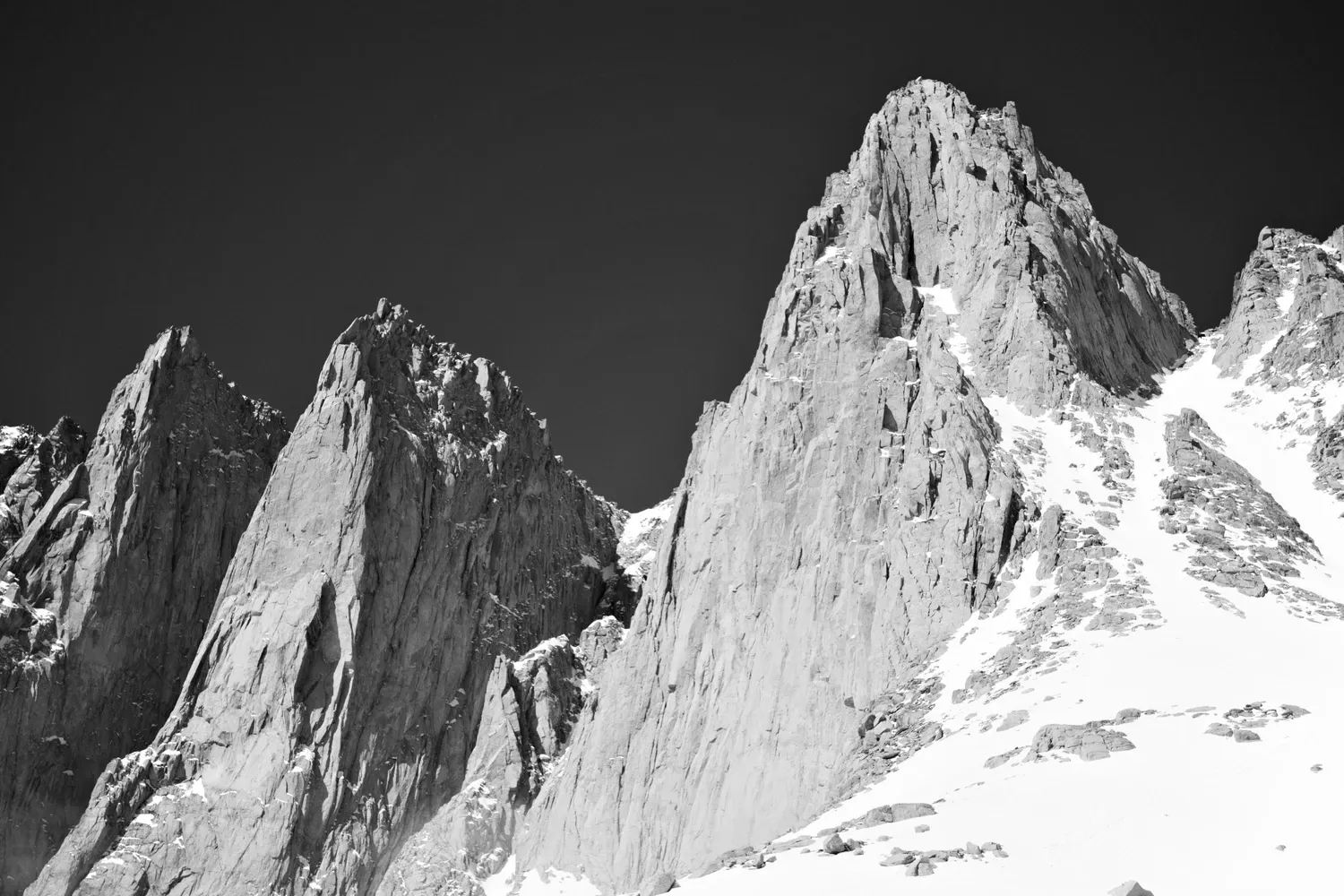
Time to head back down - which means trying something I've been looking forward to all day: glissading! I slide down the steep slope, dragging my ice axe as needed to slow myself. It's a fun and very efficient way to travel. My butt is soaked, but I make great time, and arrive back at Whitney Portal in a couple of hours.
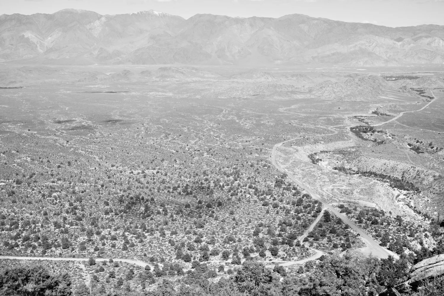
I have no luck hitchhiking down Whitney Portal road until I'm on the flats. Impatient, I decid to hop the guardrail and take a shortcut directly down the hill near the giant switchback near the mouth of the canyon. Finally, a group of three people and two dogs in a Jeep picks me up - it's the same folks I talked to at Lone Pine Campground yesterday! They are very kind and inquisitive, and very tolerant of how badly I smell. So, the trip ends as it began, with a fortuitous and friendly hitch.
I am ready for my feet to stop hurting.